Old Maps of Channahon, Illinois
Explore 32 old maps of Channahon, spanning from 1892 to today. These high-resolution historic maps reveal how streets, neighborhoods, landmarks, and natural features evolved over time — perfect for genealogy, metal detecting, research, and local history exploration.
What you can do with these maps:
- See how Channahon changed over time: Compare historical maps to modern-day views to trace roads, homesites, rail lines & more.
- View detailed metadata: Each map includes creators, publishers, year, scale, and archive source.
- Overlay maps with satellite & LiDAR: Visualize the past alongside modern tools to explore terrain & human change.
- Trusted historical sources: Maps sourced from the USGS, Library of Congress, and other archives.
- Access maps your way: View online, download high-res files, or order prints for personal or research use.
Start exploring old maps of Channahon to uncover forgotten places, hidden landmarks, and the deep history beneath your feet.
Channahon, IL maps
(32)- 1892 Map of Morris
 1892 Morris1892 Print · USGSGrundy County thrives as a transportation nexus in the 1890s, where the legendary canal system meets a growing web of iron rails. Trace early industrial footprints in Coal City or follow the path of the Illinois and Michigan Canal through Morris.3 unique versions available
 - 1892 Map of Wilmington
 1892 Wilmington1892 Print · USGSWill County at the end of the nineteenth century is defined by its strategic river confluences and a rapidly expanding rail network. Genealogists and local historians can trace the early footprints of Wilmington and Braidwood, or find vanished rail stops like Blodget and Drummond.3 unique versions available
 - 1918 Map of Wilmington
 1918 Wilmington1918 Print · USGSWill County in the late teens is a landscape shaped by the convergence of major rivers and several historic rail lines. Genealogists and historians can trace numerous rural schoolhouses like Red Brick School and Schweizer School alongside river towns such as Wilmington and Channahon.5 unique versions available
 - 1918 Map of Morris
 1918 Morris1918 Print · USGSGrundy County at the end of the Great War is a landscape defined by the Illinois River and a bustling coal industry. Researchers can trace historic school districts like Jugtown School, the path of the Michigan and Illinois Canal, and early mining settlements such as Carbon Hill and Eileen.3 unique versions available
 - 1953 Map of Lisbon, 1955 Print
 1953 Lisbon1955 Print · USGSKendall and Grundy Counties were still defined by their rural character and rail-linked industry in the early fifties. Genealogists can locate several family-named landmarks and country schools including Porter Sch, Cryder Cem, and the Gore Sch.3 unique versions available
 - 1954 Map of Minooka, 1955 Print
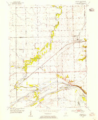 1954 Minooka1955 Print · USGSThe rail-and-river crossroads at Minooka are captured here in the 1950s, documenting a landscape shaped by three major rivers and heavy industry. Genealogists and researchers can locate St Marys Cem, trace the canal to the Aux Sable Lock, or find family-named sites like Walley Sch.4 unique versions available
 - 1954 Map of Channahon, 1955 Print
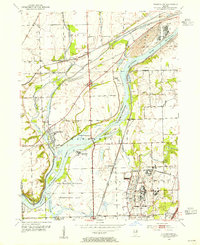 1954 Channahon1955 Print · USGSWill County at mid-century reveals a landscape shaped by major river junctions and the legacy of the canal era. Researchers can trace historical property lines and infrastructure through Channahon, finding detail on landmarks like Willard Grove Cem, Smith Bridge, and the Schweizer Sch.4 unique versions available
 - 1954 Map of Morris, 1960 Print
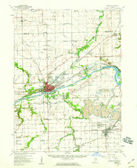 1954 Morris1960 Print · USGSGrundy County in the mid-fifties is a landscape of industrial transition, where coal mining and river navigation drive local growth. Researchers can trace the extensive Strip Mine works around Coal City or locate family roots at Evergreen Cem and Sulphur Springs Sch.2 unique versions available
 - 1954 Map of Wilmington, 1960 Print
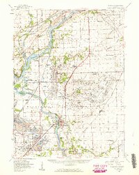 1954 Wilmington1960 Print · USGSWill and Grundy counties in the mid-fifties show a landscape of industrial convergence where major railroads meet the state's storied canal systems. Researchers can trace the Old Indian Boundary or locate family sites like the Soldiers Widows Home and Willard Grove Cem.3 unique versions available
 - 1958 Map of Aurora, 1969 Print
 1958 Aurora1969 Print · USGSNorthern Illinois in the late fifties shows a landscape of powerful river industry and expanding transport corridors. Genealogists and historians can trace the development of Aurora and Joliet or locate sites like the Elwood Ordnance Plant and Starved Rock.3 unique versions available
 - 1961 Map of Aurora
 1961 Aurora1961 Print · USGSNorthern Illinois at the height of the post-war era reveals a landscape of massive industrial works and thriving river towns. Genealogists and historians can trace the paths of the Lincoln Highway or locate long-standing landmarks like the Green River Ordnance Plant and Starved Rock State Park.
 - 1985 Map of Ottawa
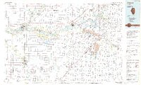 1985 Ottawa1985 Print · USGSThe Illinois River valley in the mid-1980s shows a landscape balancing river commerce with sprawling energy and mining operations. Researchers can trace the layout of mining towns like Coal City or find family landmarks such as Oakwood Memorial Cem and Smiths Mound.
 - 1991 Map of Ottawa
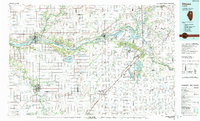 1991 Ottawa1991 Print · USGSNorth-central Illinois in the early nineties remains a vital corridor of river commerce and heavy rail. Genealogists and historians can trace the legacy of industrial mining near Morris or explore the river-bluff geography of Starved Rock State Park and Buffalo Rock.
 - 1993 Map of Minooka, 1994 Print
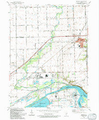 1993 Minooka1994 Print · USGSMinooka and its river-bound neighbors appear here in the early nineties, showing a landscape defined by massive industrial works and deep prairie roots. Trace the intersection of old and new through the Dresden Station Nuclear Powerplant, the Illinois and Michigan Canal State Trail, and St Marys Cem.
 - 1993 Map of Lisbon, 1994 Print
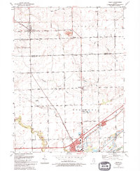 1993 Lisbon1994 Print · USGSLisbon and Morris appear at the start of the nineties, where the quiet prairie of Kendall and Grundy counties meets the historic canal corridor. Researchers can trace family sites at Saratoga Cem and Saratoga Sch Cem or locate the Nelson Landing Strip and John Moore Park.
 - 1993 Map of Channahon, 1994 Print
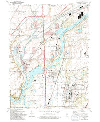 1993 Channahon1994 Print · USGSThe industrial and natural landscapes of Channahon and Minooka meet in the 1990s at the river forks. Genealogists and historians can trace family-named sites like Troutman Grove Cem alongside the sprawling Joliet Ammunitions Plant.
 - 1999 Map of Channahon, 2002 Print
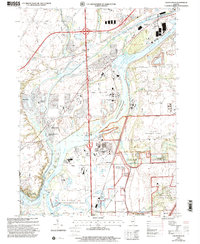 1999 Channahon2002 Print · USGSChannahon and Minooka sit at a major river confluence at the close of the twentieth century. Trace the industrial and military landscape from the Joliet Training Area to the Abraham Lincoln National Cemetery.
 - 2012 Map of Minooka, 2012 Print
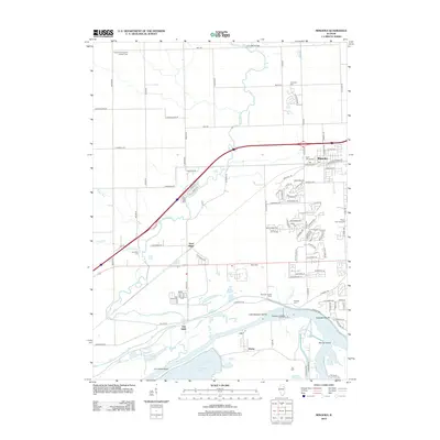 2012 Minooka2012 Print · USGSThe Illinois riverfront near Minooka is captured here just as the suburban landscape began to meet long-standing family farmsteads. Researchers can trace ancestral roots at Saint Marys Cem or Aux Sable Cem and locate landmarks like the Dollinger Family Farm.
 - 2012 Map of Lisbon, 2012 Print
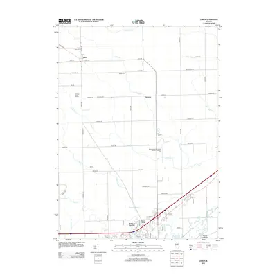 2012 Lisbon2012 Print · USGSThis rural Illinois landscape south of the Aux Sable Creek basin shows a well-preserved network of historic cemeteries and farm-to-market roads in the early twenty-first century. Genealogists can locate family sites at Munger Cem or Cryder Cem and trace the development of settlements like Lisbon and Ridgecrest.
 - 2012 Map of Channahon, 2012 Print
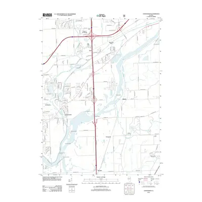 2012 Channahon2012 Print · USGSWill County’s river valleys and transportation corridors are captured here in the early twenty-first century as suburban growth meets industrial geography. Genealogists can locate Abraham Lincoln National Cem and Jackson Creek Cem, while those tracing local industry will find Hadley Seed Farm and Millsdale.
 - 2015 Map of Lisbon, 2015 Print
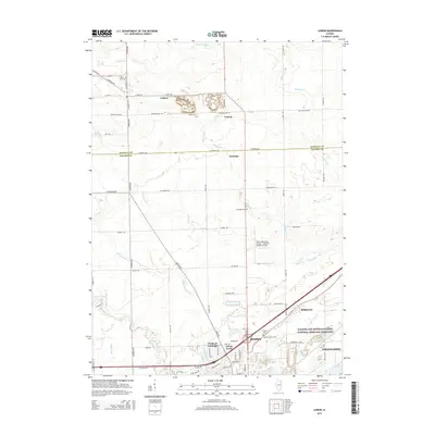 2015 Lisbon2015 Print · USGSThe rural lands of Kendall and Grundy counties meet in this 2010s survey of the prairie south of Lisbon. Researchers can locate several historical burial sites like Munger Cem or trace the path of the Illinois and Michigan Canal.
 - 2015 Map of Minooka, 2015 Print
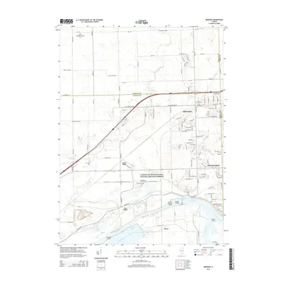 2015 Minooka2015 Print · USGSMinooka and Channahon are surveyed here during a period of modern growth at the historic meeting of the Illinois, Kankakee, and Des Plaines Rivers. Researchers can trace early pioneer roots at Plattville Evangelical Lutheran Cem and follow the route of the Illinois and Michigan Canal.
 - 2015 Map of Channahon, 2015 Print
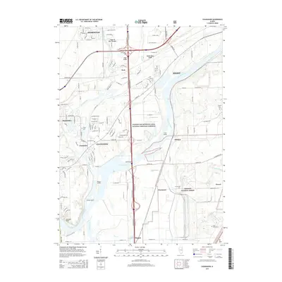 2015 Channahon2015 Print · USGSWill County's river valleys and prairie corridors are captured here in the mid-2010s as suburban growth meets major conservation efforts. Family historians can locate several rural burial grounds like McCune Cem and Reed's Grove Cem near the historic Illinois and Michigan Canal.
 - 2018 Map of Minooka, 2018 Print
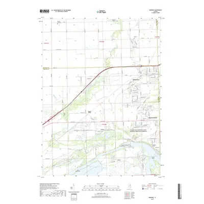 2018 Minooka2018 Print · USGSThe river confluence near Minooka and Channahon reveals a landscape defined by the historic Illinois and Michigan Canal. Modern researchers can trace burial records at Aux Sable Cem or locate the rural junction at Divine.
 - 2018 Map of Lisbon, 2018 Print
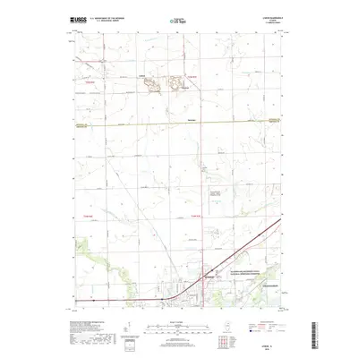 2018 Lisbon2018 Print · USGSThe transition from rural Kendall County to the industrial edges of Morris is captured here during the late twenty-teens. Researchers can trace historic cemeteries like Munger Cem and Cryder Cem or follow the path of the Illinois and Michigan Canal.
Showing maps 1-25 of 32
Top cities near Channahon
- Joliet historical maps
- Bolingbrook historical maps
- Plainfield historical maps
- Romeoville historical maps
- Oswego historical maps
- Lockport historical maps
See more
Top neighborhoods of Channahon
Frequently asked questions
- What are the different types of historical maps available for Channahon?
- What is the oldest map of Channahon?
- Where can I purchase historical maps of Channahon for my home or office?
- Where can I download high-res historical maps of Channahon?
- Are there historical topographic maps available for Channahon?
- Is there historical aerial imagery available for Channahon?
- Where are historical maps of Channahon sourced from?