2000s (21st Century) Maps of Willeford, Illinois
Explore 5 historic maps of Willeford from the 2000s (21st Century). These maps offer a rare glimpse into what life looked like during the 2000s — showing old roads, neighborhoods, homes, and landmarks that have changed or disappeared over time.
Whether you're researching your family's past, planning a metal detecting trip, or studying how Willeford's landscape evolved across the 2000s, these high-resolution maps are a powerful tool for exploring the history of this region.
- Focus on a specific era: All maps on this page are from the 2000s, giving you a focused view of this time period.
- See what’s changed: Compare century-old streets, trails, and buildings to today's modern landscape using overlays and satellite layers.
- Research with precision: Use these maps for genealogy, historical research, land use analysis, or educational projects.
- View, download, or print: Maps are fully viewable online in high resolution, and can be downloaded or printed for your own records.
Start exploring Willeford's history through authentic maps from the 2000s. This is your window into the past.
Willeford, IL maps
(5)- 2012 Map of Crab Orchard, 2012 Print
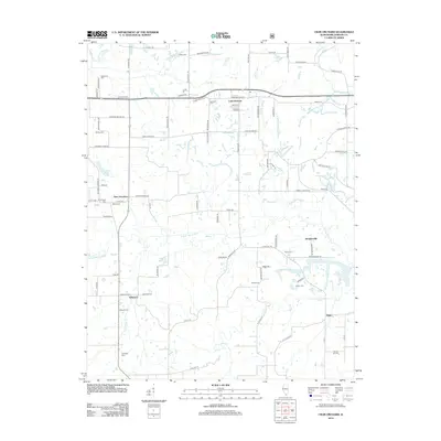 2012 Crab Orchard2012 Print · USGSCovers Willeford, including Marion, Creal Springs, and other nearby areas
 - 2015 Map of Crab Orchard, 2015 Print
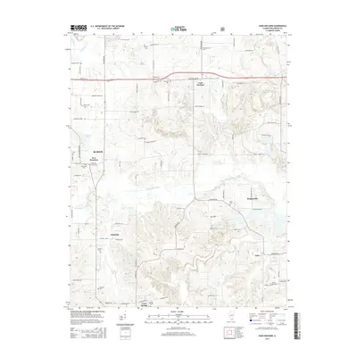 2015 Crab Orchard2015 Print · USGSCovers Willeford, including Marion, Creal Springs, and other nearby areas
 - 2018 Map of Crab Orchard, 2018 Print
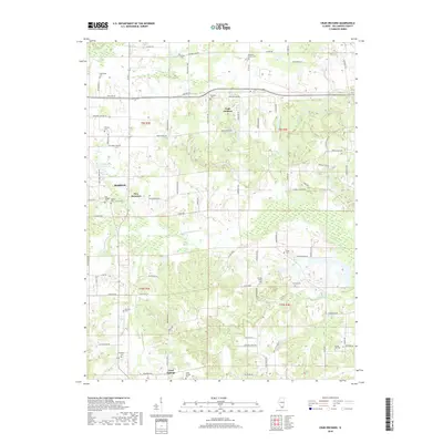 2018 Crab Orchard2018 Print · USGSCovers Willeford, including Marion, Creal Springs, and other nearby areas
 - 2021 Map of Crab Orchard, 2021 Print
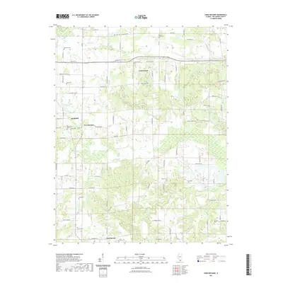 2021 Crab Orchard2021 Print · USGSCovers Willeford, including Marion, Creal Springs, and other nearby areas
 - 2024 Map of Crab Orchard, 2024 Print
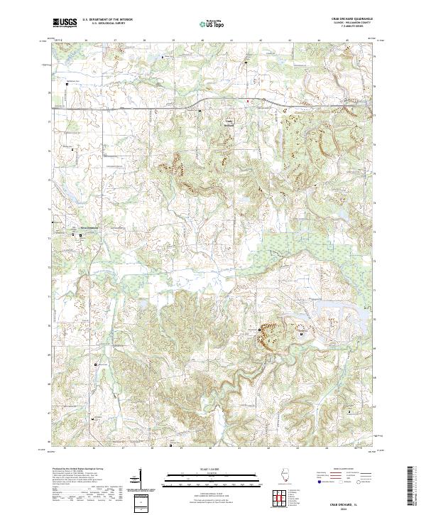 2024 Crab Orchard2024 Print · USGSCrab Orchard and its rural Williamson County surroundings are documented in this contemporary survey, showing the landscape as it appears today. Genealogists and local historians can trace legacy landmarks like Bethlehem Cem, New Dennison, and the winding South Fork Saline River.
End of results
Showing maps 1-5 of 5
Top cities near Willeford
- Marion historical maps
- Herrin historical maps
- West Frankfort historical maps
- Carterville historical maps
- Johnston City historical maps
- Carrier Mills historical maps
See more
Frequently asked questions
- What are the different types of historical maps available for Willeford?
- What is the oldest map of Willeford?
- Where can I purchase historical maps of Willeford for my home or office?
- Where can I download high-res historical maps of Willeford?
- Are there historical topographic maps available for Willeford?
- Is there historical aerial imagery available for Willeford?
- Where are historical maps of Willeford sourced from?