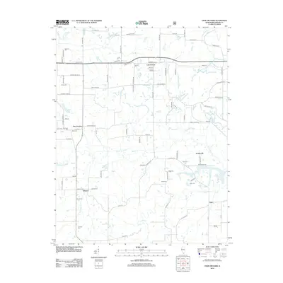
2012 Map of Crab Orchard
USGS Topo · Published 2012About this map
Crab Orchard serves as a central hub in this Southern Illinois landscape, where the S Fork Saline River and its tributaries like Sugar Cr and Little Cana Cr define the drainage patterns of eastern Williamson County. Small, established settlements including Willeford, New Dennison, and Rodgersville are scattered across the terrain, linked by a network of rural roads such as Shed Church Rd and Old Delta Mine Rd. For local history and genealogy, the map is a primary source for locating numerous burial grounds like Bethlehem Cem, Old Krieger Cem, and Arnold Cem. The map illustrates a rural area where residential life and small-scale agriculture interface with the natural waterways, with Caplinger Pond and Crab Orchard Cr providing prominent local water features north of the Saline River.
Find a feature on this map
85 named features on this map. Tap any name to fly to it.
Don’t see what you’re looking for? This feature index may not catch every label — zoom into the map to look around manually.
Map Details
Editions of this 2012 Crab Orchard Map
This is the sole edition of this map. No revisions or reprints were ever made.
Other maps of this area

1908 · Galatia
USGS Topo · 1:62,500

1909 · West Frankfort
USGS Topo · 1:62,500

1925 · Marion
USGS Topo · 1:62,500

1925 · Harrisburg
USGS Topo · 1:62,500

1938 · Galatia
USGS Topo · 1:62,500

1939 · Harrisburg
USGS Topo · 1:62,500

1940 · Marion
USGS Topo · 1:62,500

1941 · West Frankfort
USGS Topo · 1:62,500

1949 · Paducah
USGS Topo · 1:250,000

1950 · Paducah
USGS Topo · 1:250,000