Old Maps of Winnebago Township, Illinois
Explore 38 old maps of Winnebago Township, spanning from 1917 to today. These high-resolution historic maps reveal how streets, neighborhoods, landmarks, and natural features evolved over time — perfect for genealogy, metal detecting, research, and local history exploration.
What you can do with these maps:
- See how Winnebago Township changed over time: Compare historical maps to modern-day views to trace roads, homesites, rail lines & more.
- View detailed metadata: Each map includes creators, publishers, year, scale, and archive source.
- Overlay maps with satellite & LiDAR: Visualize the past alongside modern tools to explore terrain & human change.
- Trusted historical sources: Maps sourced from the USGS, Library of Congress, and other archives.
- Access maps your way: View online, download high-res files, or order prints for personal or research use.
Start exploring old maps of Winnebago Township to uncover forgotten places, hidden landmarks, and the deep history beneath your feet.
Winnebago Township, IL maps
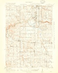
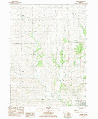
(38)- 1917 Map of Kings, 1969 Print
 1917 Kings1969 Print · USGSNorthern Illinois agriculture and rail lines meet south of Rockford during the early twentieth century. Genealogists can trace rural family roots through dozens of district schools like Black Walnut School and the rail junctions of Davis Junction and Holcomb.
 - 1918 Map of Rockford
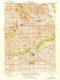
 1918 Rockford1918 Print · USGSWinnebago County at the end of the Great War reveals a landscape where the river-and-rail economy was in full swing. Genealogists and historians can trace family-named schools like Dickenson School and Eddy School, or locate the Winnebago County Boys Reform School.3 unique versions available
 - 1918 Map of Kings
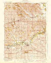
 1918 Kings1918 Print · USGSThe Rock River valley served as a massive military and rail hub during the First World War. Local historians can trace the early layout of Camp Grant and dozens of country schools like Killbuck School and Maple Corners School.3 unique versions available
 - 1922 Map of Oregon, 1967 Print
 1922 Oregon1967 Print · USGSNorthern Illinois at the start of the twenties reveals a landscape of thriving rail towns and numerous one-room schoolhouses. Genealogists can trace family footprints at Wessels School, Ebenezer Church, and early village sites like Adeline and Egan.
 - 1924 Map of Oregon
 1924 Oregon1924 Print · USGSOgle County's rural landscape is captured here in the early twenties, showing a network of river-valley settlements and busy rail lines. Researchers can trace family history through numerous landmarks like the German Valley PO and station, St Thomas Church, and Mount Morris.3 unique versions available
 - 1932 Map of Pecatonica
 1932 Pecatonica1932 Print · USGSThe Pecatonica River valley at the start of the 1930s shows a landscape of busy rail towns and a remarkable density of rural schoolhouses. Genealogists can locate family landmarks like Woodruff Corners, Pioneer Cem, and the Twelvemile Grove Ch.3 unique versions available
 - 1936 Map of Pecatonica
 1936 Pecatonica1936 Print · USGSNorthern Illinois agriculture and river life thrive in the 1930s along the winding Pecatonica River and the Wisconsin border. Genealogists can trace hundreds of rural homes and a dense grid of schoolhouses including College Sch, Irish Grove Sch, and Twelvemile Grove Ch.2 unique versions available
 - 1938 Map of Rockford, 1954 Print
 1938 Rockford1954 Print · USGSWinnebago County at the end of the Depression shows a landscape shaped by river valleys and a dense network of country schoolhouses. You can trace early twentieth-century rural life through landmarks like Holland Spring, the Winnebago County Boys Reform School, and the Rockford and Interurban rail line.3 unique versions available
 - 1954 Map of Rockford
 1954 Rockford1954 Print · USGSThe Rock River valley and the Illinois-Wisconsin borderlands are captured here in the mid-1950s during a period of robust industrial and agricultural activity. Genealogists and historians can trace rail-era corridors like the Illinois Central RR and locate landmarks from Big Foot Prairie to Lake Geneva.
 - 1955 Map of Rockford
 1955 Rockford1955 Print · USGSThe Rock River valley and southern Wisconsin dairy country are shown here in the mid-fifties as the region's manufacturing centers grew. Genealogists and historians can trace the paths of the Chicago and North Western RR and Illinois Central RR through hubs like Rockford and Beloit.
 - 1958 Map of Rockford, 1974 Print
 1958 Rockford1974 Print · USGSNorthern Illinois and southern Wisconsin are shown here in the mid-twentieth century as rail-dependent industrial towns began to interface with growing lakefront communities. Genealogists can trace family roots through settlements like Saylesville and Tess Corners or locate historical landmarks like the Rockford Ordnance Depot.4 unique versions available
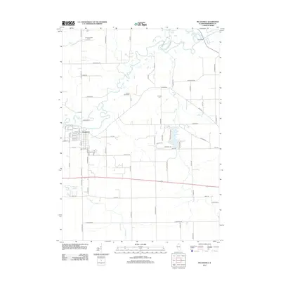
 - 1959 Map of Winnebago, 1960 Print
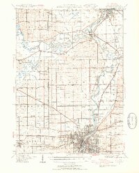
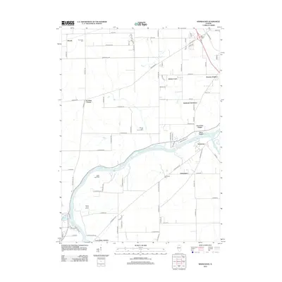
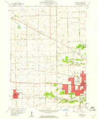 1959 Winnebago1960 Print · USGSWinnebago County at the end of the fifties shows the city of Rockford stretching west toward the rural townships. Genealogists and local historians can trace family locations through several rural schools like Stiles Sch and burial sites including Willwood Cemetery and Prospect Cem.
 - 1963 Map of Rockford
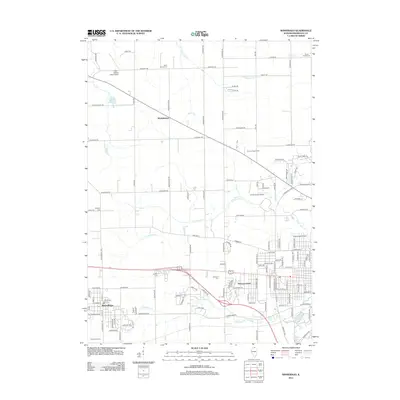
 1963 Rockford1963 Print · USGSThe mid-century industrial corridor along the Rock River is shown here during a period of rapid post-war growth. Researchers can trace the extensive rail lines of the Chicago and North Western or locate local landmarks like the Rockford Ordnance Depot and Holy Hill.
 - 1971 Map of Kishwaukee, 1973 Print
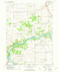 1971 Kishwaukee1973 Print · USGSWinnebago and Ogle Counties are captured here in the early seventies as the river valleys supported both industry and recreation. Genealogists and local historians can locate Winnebago Cemetery, rural schools like Oak Grove, and the Alworth settlement.
 - 1971 Map of Winnebago, 1973 Print
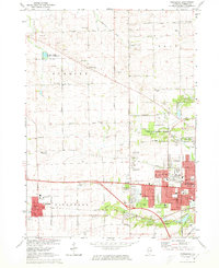 1971 Winnebago1973 Print · USGSWestern Winnebago County appears in the early seventies as the city of Rockford begins to meet the quiet farmland of Burritt Township. Researchers can trace the heritage of local families through North Burritt Cem, identify early school sites like McNair Sch, and locate the historic Chicago and North Western rail line.2 unique versions available
 - 1971 Map of Pecatonica, 1974 Print
 1971 Pecatonica1974 Print · USGSNorthern Illinois farm country is documented here in the early seventies, centered on the river valley and the growing villages. Genealogists and historians can trace local landmarks like Brick School, Twelvemile Grove Cem, and the path of the Old Railroad Grade.
 - 1981 Map of Rockford
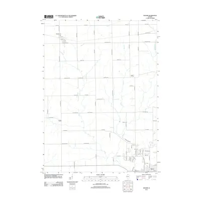
 1981 Rockford1981 Print · USGSNorthern Illinois during the early eighties shows a landscape shaped by river valleys and a maturing rail network. Genealogists can trace family roots through settlements like Morseville and Buckhorn Corners while exploring the Rock River valley.2 unique versions available
 - 1983 Map of Seward, 1984 Print
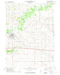
 1983 Seward1984 Print · USGSThe agricultural heartland of northern Illinois is captured here in the early eighties as Seward and Myrtle remained focused on their rural roots. Genealogists can locate St Thomas Cem, while historians can trace the Chicago Milwaukee St Paul and Pacific rail line.
 - 2012 Map of Pecatonica, 2012 Print
 2012 Pecatonica2012 Print · USGSCovers Winnebago Township, including Winnebago, Pecatonica, and other nearby areas
 - 2012 Map of Seward, 2012 Print
 2012 Seward2012 Print · USGSCovers Winnebago Township, including Byron, Seward, and other nearby areas
 - 2012 Map of Winnebago, 2012 Print
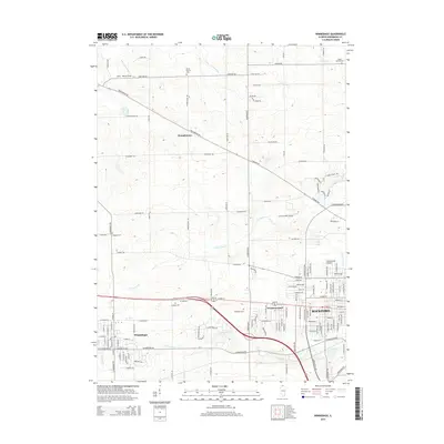
 2012 Winnebago2012 Print · USGSCovers Winnebago Township, including Rockford, Winnebago, and other nearby areas
 - 2012 Map of Kishwaukee, 2012 Print
 2012 Kishwaukee2012 Print · USGSCovers Winnebago Township, including Rockford, Byron, and other nearby areas
 - 2015 Map of Winnebago, 2015 Print
 2015 Winnebago2015 Print · USGSCovers Winnebago Township, including Rockford, Winnebago, and other nearby areas
 - 2015 Map of Pecatonica, 2015 Print
 2015 Pecatonica2015 Print · USGSCovers Winnebago Township, including Winnebago, Pecatonica, and other nearby areas
 - 2015 Map of Seward, 2015 Print
 2015 Seward2015 Print · USGSCovers Winnebago Township, including Byron, Seward, and other nearby areas
Showing maps 1-25 of 38
Top cities near Winnebago Township
- Rockford historical maps
- Loves Park historical maps
- Machesney Park historical maps
- Roscoe historical maps
- South Beloit historical maps
- Rockton historical maps
See more
Top neighborhoods of Winnebago Township
Frequently asked questions
- What are the different types of historical maps available for Winnebago Township?
- What is the oldest map of Winnebago Township?
- Where can I purchase historical maps of Winnebago Township for my home or office?
- Where can I download high-res historical maps of Winnebago Township?
- Are there historical topographic maps available for Winnebago Township?
- Is there historical aerial imagery available for Winnebago Township?
- Where are historical maps of Winnebago Township sourced from?