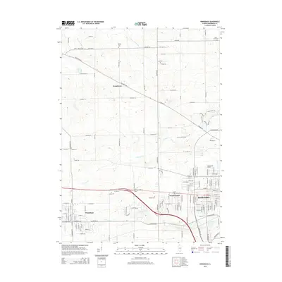
2015 Map of Winnebago
USGS Topo · Published 2015About this map
The suburban edge of western Rockford meets the agricultural plains of Winnebago County in this 2015 update. The landscape is defined by the dendritic drainage of N Fork Kent Cr and S Fork Kent Cr, which flow eastward toward the city center. While the southeastern quadrant shows the dense residential grids of Westmoreland and northern Rockford, the western half remains largely rural, anchored by the village of Winnebago.
Find a feature on this map
70 named features on this map. Tap any name to fly to it.
Don’t see what you’re looking for? This feature index may not catch every label — zoom into the map to look around manually.
Map Details
Editions of this 2015 Winnebago Map
This is the sole edition of this map. No revisions or reprints were ever made.
Other maps of this area

1917 · Kings
USGS Topo · 1:62,500

1918 · Rockford
USGS Topo · 1:62,500

1918 · Kings
USGS Topo · 1:62,500

1922 · Oregon
USGS Topo · 1:62,500

1924 · Oregon
USGS Topo · 1:62,500

1932 · Pecatonica
USGS Topo · 1:62,500

1936 · Pecatonica
USGS Topo · 1:62,500

1938 · Rockford
USGS Topo · 1:62,500

1949 · Camp Grant
USGS Topo · 1:24,000

1949 · Rockford
USGS Topo · 1:24,000