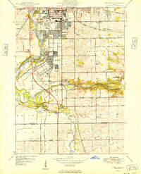
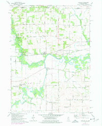
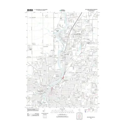
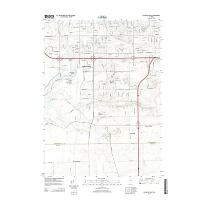
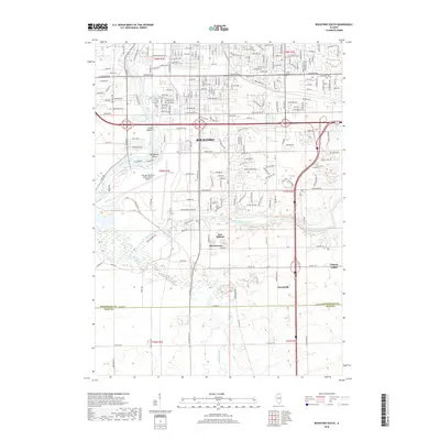
1949 Map of Camp Grant
USGS Topo · Published 1949About this map
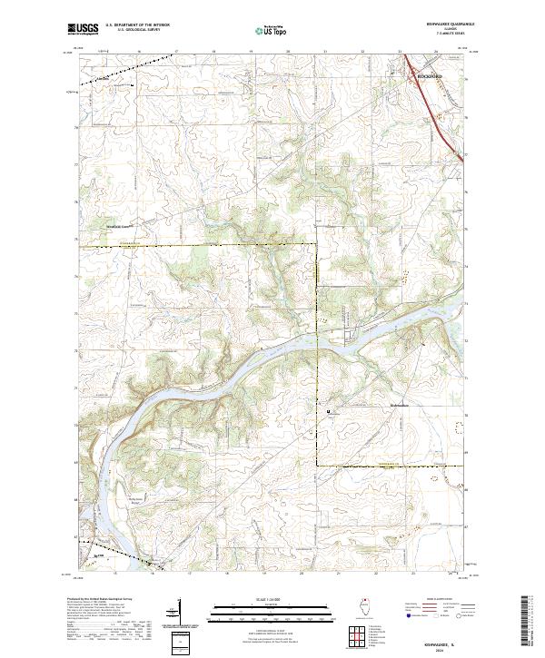
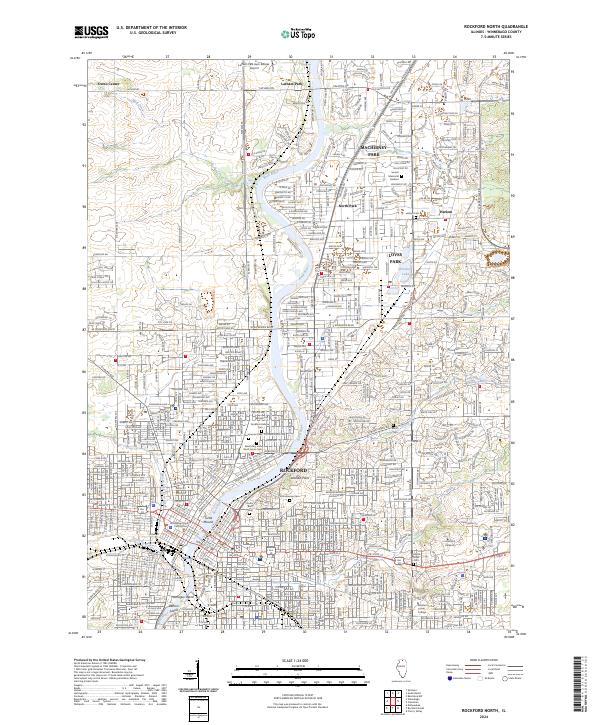
Camp Grant dominates the riverfront south of Rockford in this late 1940s survey, illustrating a landscape defined by military infrastructure and public land. The confluence of the Rock River and Kishwaukee River forms the geographic heart of the quadrangle, punctuated by Blackhawk Island and several protected areas including the Kishwaukee Forest Preserve and Killbuck Forest Preserve.
Find a feature on this map
38 named features on this map. Tap any name to fly to it.
Don’t see what you’re looking for? This feature index may not catch every label — zoom into the map to look around manually.
Map Details
Editions of this 1949 Camp Grant Map
This is the sole edition of this map. No revisions or reprints were ever made.
Historical Maps of Rockford Through Time
27 maps found
1949 Camp Grant
Winnebago County, IL
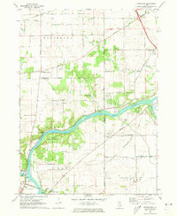
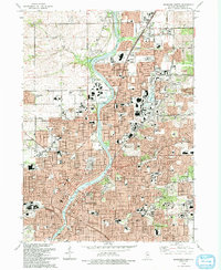
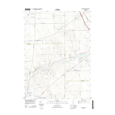
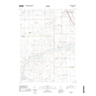
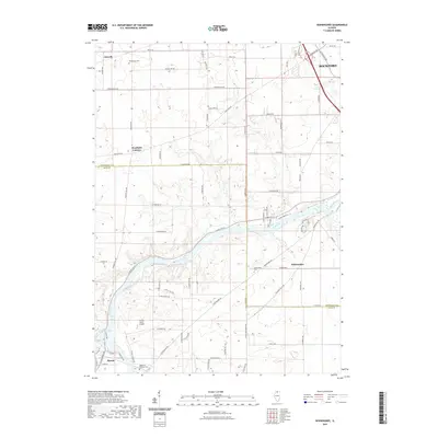
1971 Kishwaukee
Winnebago County, IL
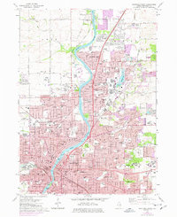
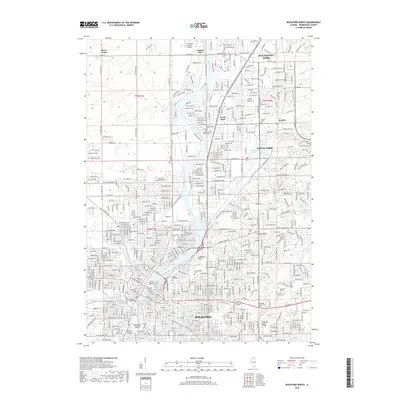
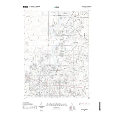
1971 Rockford North
Winnebago County, IL
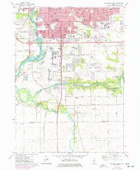
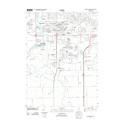
1971 Rockford South
Winnebago County, IL
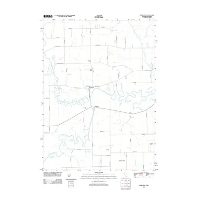
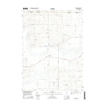
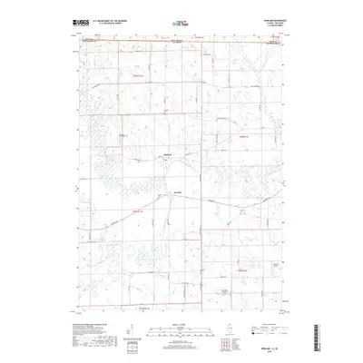
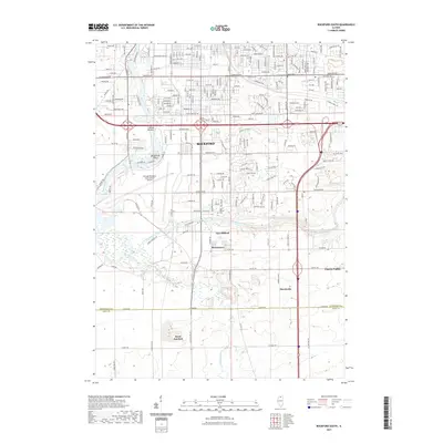
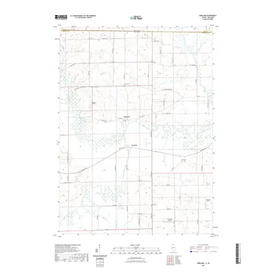
1971 Shirland
Winnebago County, IL
1993 Rockford North
Winnebago County, IL
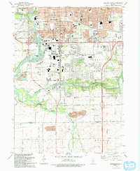
1993 Rockford South
Winnebago County, IL
2012 Kishwaukee
Winnebago County, IL
2012 Rockford North
Winnebago County, IL
2012 Rockford South
Winnebago County, IL
2012 Shirland
Winnebago County, IL
2015 Kishwaukee
Winnebago County, IL

2015 Rockford North
Winnebago County, IL
2015 Rockford South
Winnebago County, IL
2015 Shirland
Winnebago County, IL
2018 Kishwaukee
Winnebago County, IL
2018 Rockford North
Winnebago County, IL
2018 Rockford South
Winnebago County, IL
2018 Shirland
Winnebago County, IL
2021 Kishwaukee
Winnebago County, IL
2021 Rockford North
Winnebago County, IL
2021 Rockford South
Winnebago County, IL
2021 Shirland
Winnebago County, IL
2024 Kishwaukee
Winnebago County, IL
2024 Rockford North
Winnebago County, IL
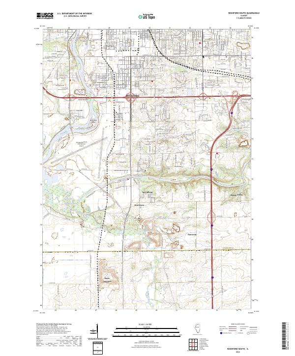
2024 Rockford South
Winnebago County, IL
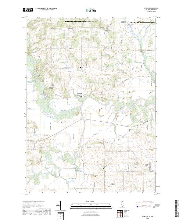
2024 Shirland
Winnebago County, IL
Featured Locations
- Cherry Valley Township, IL
- Cleveland Subdivision, Rockford Township
- New Milford, Rockford Township
- Rockford, Rockford Township
- Davis Junction, Scott Township