Old Maps of Benson, Illinois for Genealogy
Trace your family roots with 14 historic maps of Benson. These high-res maps reveal old neighborhoods, homesites, landmarks, and streets — helping you uncover where your ancestors lived and how the area evolved over time.
- Explore historic neighborhoods: Identify where your relatives may have lived in the 1800s or 1900s.
- Compare maps over time: Trace the changes in streets, buildings, and landmarks for multi-generational research.
- Perfect for genealogy & ancestry research: Used by family historians and researchers to map out lineage and migration.
These maps are an incredible resource for exploring your personal connection to Benson's past.
Benson, IL maps
(14)- 1955 Map of Minonk, 1956 Print
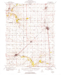 1955 Minonk1956 Print · USGSWoodford and Marshall counties at mid-century reveal a thriving rail-and-coal economy across the Illinois prairie. Family researchers and historians can trace lineage at Mennonite Ch, find old Mine Dumps, or locate vanished landmarks like Spring Hill Sch.
 - 1958 Map of Peoria, 1969 Print
 1958 Peoria1969 Print · USGSCentral Illinois thrived as a hub of education and transport during the late sixties, as the new interstate system began to reshape the prairie. Genealogists and historians can trace local landmarks like Springdale Cem, Bradley University, and the sprawling grounds of Chanute AFB.4 unique versions available
 - 1961 Map of Peoria
 1961 Peoria1961 Print · USGSCentral Illinois thrived at the intersection of river trade and rail power during the late fifties. Genealogists and local historians can trace the rail networks of the Illinois Central and Wabash, alongside landmarks like Chanute AFB and Weldon Springs State Park.
 - 1963 Map of Peoria
 1963 Peoria1963 Print · USGSCentral Illinois thrived as a rail and highway crossroads during the early sixties, centered on the bustling Illinois River valley. Genealogists and historians can trace the mid-century layout of Peoria, locate the grounds of Chanute Air Force Base, and follow historic lines like the Toledo Peoria and Western Railway.
 - 1983 Map of Benson, 1984 Print
 1983 Benson1984 Print · USGSCentral Illinois prairie life and rail networks are well-documented here in the early eighties. Genealogists can trace family plots at St John Cem and St Marys Cem, while following the path of the Illinois Central Gulf through Panola.
 - 1985 Map of Peoria
 1985 Peoria1985 Print · USGSThe Illinois River valley and the Tri-County area are captured here in the mid-1980s as industry and infrastructure reshaped the heart of the state. Researchers can trace the grounds of Jubilee College, locate the Stark Mine near Elmwood, or follow the busy tracks of the Norfolk and Western Railroad.
 - 1989 Map of Peoria
 1989 Peoria1989 Print · USGSThe Illinois River valley thrived as a regional center of industry, education, and transport during the late eighties. Researchers can trace the extensive rail networks of the Peoria and Pekin Union Railway or locate landmarks like Bradley University and the Peoria Air National Guard Base.
 - 1990 Map of Peoria
 1990 Peoria1990 Print · USGSCentral Illinois at the start of the nineties reveals a landscape of industrial river towns and sprawling university campuses. Researchers can trace the legacy of major institutions like Chanute Air Force Base and the University of Illinois alongside regional landmarks such as Sand Ridge State Forest.
 - 1995 Map of Benson, 1996 Print
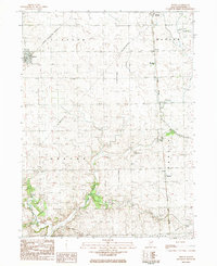
 1995 Benson1996 Print · USGSThe Benson area and the townships of Clayton and Greene are shown here in the mid-1990s as a quiet prairie landscape. Researchers can locate family-named sites like Hummel Clayton Cem, the Jr High Sch in Benson, and the rural Townhall in Greene.
 - 2012 Map of Benson, 2012 Print
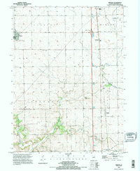
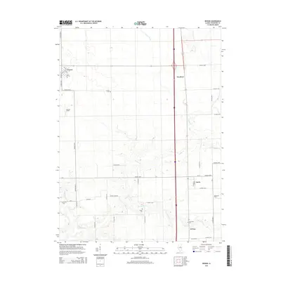
 2012 Benson2012 Print · USGSCovers Benson, including El Paso, Panola, and other nearby areas
 - 2015 Map of Benson, 2015 Print
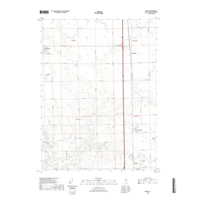
 2015 Benson2015 Print · USGSCovers Benson, including El Paso, Panola, and other nearby areas
 - 2018 Map of Benson, 2018 Print
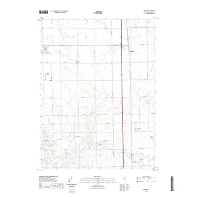
 2018 Benson2018 Print · USGSCovers Benson, including El Paso, Panola, and other nearby areas
 - 2021 Map of Benson, 2021 Print
 2021 Benson2021 Print · USGSCovers Benson, including El Paso, Panola, and other nearby areas
 - 2024 Map of Benson, 2024 Print
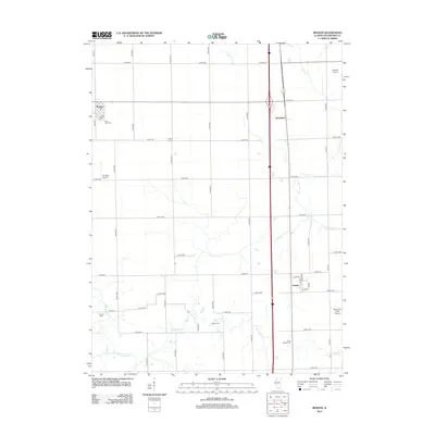
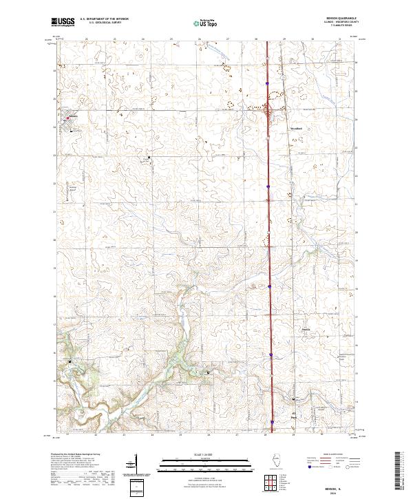 2024 Benson2024 Print · USGSWoodford County’s agricultural heartland is documented here in the early twenty-first century, showing the enduring grid of rural life. Researchers can trace local heritage through Saint Johns Cem, Barnstorm Field, and the historic settlements of Benson and Panola.
End of results
Showing maps 1-14 of 14
Top cities near Benson
- Eureka historical maps
- El Paso historical maps
- Metamora historical maps
- Minonk historical maps
- Roanoke historical maps
- Cazenovia historical maps
See more
Frequently asked questions
- What are the different types of historical maps available for Benson?
- What is the oldest map of Benson?
- Where can I purchase historical maps of Benson for my home or office?
- Where can I download high-res historical maps of Benson?
- Are there historical topographic maps available for Benson?
- Is there historical aerial imagery available for Benson?
- Where are historical maps of Benson sourced from?