Old Maps of Coppess Corner, Indiana
Explore 10 old maps of Coppess Corner, spanning from 1911 to today. These high-resolution historic maps reveal how streets, neighborhoods, landmarks, and natural features evolved over time — perfect for genealogy, metal detecting, research, and local history exploration.
What you can do with these maps:
- See how Coppess Corner changed over time: Compare historical maps to modern-day views to trace roads, homesites, rail lines & more.
- View detailed metadata: Each map includes creators, publishers, year, scale, and archive source.
- Overlay maps with satellite & LiDAR: Visualize the past alongside modern tools to explore terrain & human change.
- Trusted historical sources: Maps sourced from the USGS, Library of Congress, and other archives.
- Access maps your way: View online, download high-res files, or order prints for personal or research use.
Start exploring old maps of Coppess Corner to uncover forgotten places, hidden landmarks, and the deep history beneath your feet.
Coppess Corner, IN maps
(10)- 1911 Map of Berne
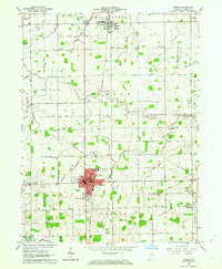
 1911 Berne1911 Print · USGSThe Ohio-Indiana borderlands come to life in this pre-war survey of the rural landscape between the St. Marys and Wabash rivers. Genealogists can trace family footprints through numerous district sites like Duck Creek School No 4, St Anthony, and Zion Church.
 - 1953 Map of Muncie, 1966 Print
 1953 Muncie1966 Print · USGSIndiana and Ohio borderlands thrive in the early fifties, showing a landscape defined by manufacturing cities and an intensive railroad network. Genealogists can trace family roots across the Indiana-Ohio line through Muncie, Celina, and Portland via the Pennsylvania railroad.5 unique versions available
 - 1956 Map of Muncie
 1956 Muncie1956 Print · USGSEastern Indiana and western Ohio are shown at a peak of rail-driven industry in the mid-fifties. Genealogists and rail historians can trace the paths of the Pennsylvania RR through Muncie or locate landmarks like Lake Saint Marys (Grand Lake Reservoir) and Frances Slocum State Forest.
 - 1962 Map of Berne, 1964 Print
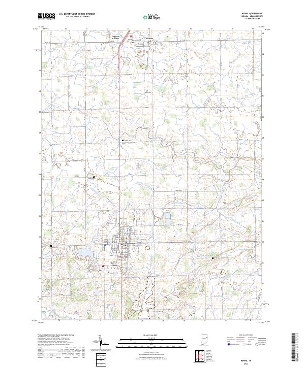
 1962 Berne1964 Print · USGSLife in central Adams County during the early sixties revolved around the agricultural centers of Berne and Monroe. Researchers can find numerous family-named landmarks like Graber Cem and Smith Cem, alongside the Pennsylvania RR corridor.3 unique versions available
 - 1986 Map of Lima
 1986 Lima1986 Print · USGSWest Ohio and East Indiana are captured here in the mid-1980s, showcasing a landscape of productive farmland and industrial transit hubs. Genealogists and historians can trace the development of Lima and Van Wert or locate landmarks like Woodland Chapel and the Lima Ordnance Modification Center.3 unique versions available
 - 2010 Map of Berne, 2010 Print
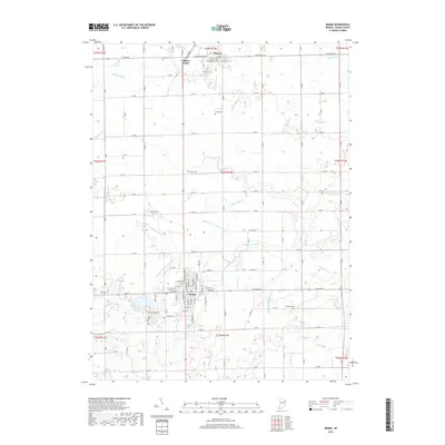
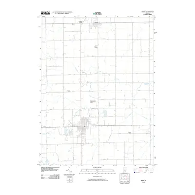 2010 Berne2010 Print · USGSCovers Coppess Corner, including Berne, Monroe, and other nearby areas
 - 2013 Map of Berne, 2013 Print
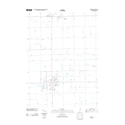 2013 Berne2013 Print · USGSCovers Coppess Corner, including Berne, Monroe, and other nearby areas
 - 2016 Map of Berne, 2016 Print
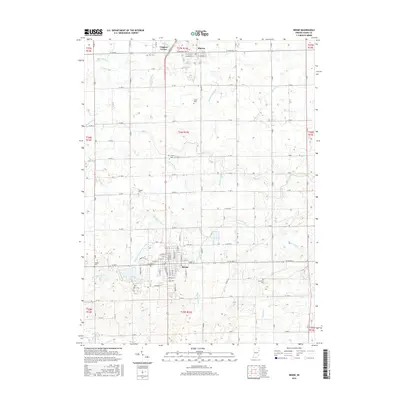 2016 Berne2016 Print · USGSCovers Coppess Corner, including Berne, Monroe, and other nearby areas
 - 2019 Map of Berne, 2019 Print
 2019 Berne2019 Print · USGSCovers Coppess Corner, including Berne, Monroe, and other nearby areas
 - 2022 Map of Berne, 2022 Print
 2022 Berne2022 Print · USGSThe rural landscape of Adams County comes alive in this modern survey of Berne and Monroe. Genealogists can trace family heritage through numerous burial grounds like Ray Cem and Graber Cem while following the path of the Wabash River.
End of results
Showing maps 1-10 of 10
Top cities near Coppess Corner
- Fort Wayne historical maps
- Bluffton historical maps
- Decatur historical maps
- Berne historical maps
- Ossian historical maps
- Geneva historical maps
See more
Frequently asked questions
- What are the different types of historical maps available for Coppess Corner?
- What is the oldest map of Coppess Corner?
- Where can I purchase historical maps of Coppess Corner for my home or office?
- Where can I download high-res historical maps of Coppess Corner?
- Are there historical topographic maps available for Coppess Corner?
- Is there historical aerial imagery available for Coppess Corner?
- Where are historical maps of Coppess Corner sourced from?