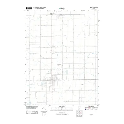
2010 Map of Berne
USGS Topo · Published 2010About this map
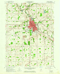
The city of Berne serves as the central hub of this eastern Indiana landscape, characterized by a highly organized grid of rural roads and an extensive network of drainage channels. The agricultural character of the region is evident in the numerous named waterways, including Wittmer Number One Ditch, Habegger Ditch, and Smith Shoemaker Ditch, which manage the water flow across the flat terrain towards the Wabash River in the southwest.
Find a feature on this map
64 named features on this map. Tap any name to fly to it.
Don’t see what you’re looking for? This feature index may not catch every label — zoom into the map to look around manually.
Map Details
Editions of this 2010 Berne Map
This is the sole edition of this map. No revisions or reprints were ever made.
Other maps of this area

1911 · Berne
USGS Topo · 1:48,000

1953 · Muncie
USGS Topo · 1:250,000

1956 · Muncie
USGS Topo · 1:250,000
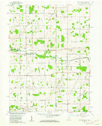
1960 · New Corydon
USGS Topo · 1:24,000
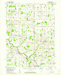
1960 · Wren
USGS Topo · 1:24,000
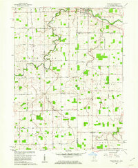
1960 · Willshire
USGS Topo · 1:24,000

1962 · Preble
USGS Topo · 1:24,000

1962 · Berne
USGS Topo · 1:24,000
1962 · Decatur
USGS Topo · 1:24,000

1962 · Linn Grove
USGS Topo · 1:24,000