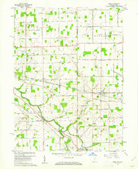
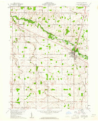
1960 Map of Wren
USGS Topo · Published 1962About this map
The St Marys River winds through the borderlands of Indiana and Ohio, anchoring a mid-century landscape of agricultural grid roads and small-town junctions. At Pleasant Mills, the river is crossed by a notable Covered Bridge, while the Erie Lackawanna and New York Chicago and St Louis railroads define the industrial corridors of the era. The settlement of Wren and the village of Willshire serve as local centers, surrounded by a network of rural landmarks that provide significant value for genealogical research.
Find a feature on this map
33 named features on this map. Tap any name to fly to it.
Don’t see what you’re looking for? This feature index may not catch every label — zoom into the map to look around manually.
Map Details
Editions of this 1960 Wren Map
Other maps of this area

1911 · Berne
USGS Topo · 1:48,000

1914 · Celina
USGS Topo · 1:62,500

1914 · Van Wert
USGS Topo · 1:62,500

1944 · Van Wert
USGS Topo · 1:62,500

1944 · Celina
USGS Topo · 1:62,500

1953 · Muncie
USGS Topo · 1:250,000

1956 · Muncie
USGS Topo · 1:250,000
1960 · Convoy
USGS Topo · 1:24,000

1960 · Dixon
USGS Topo · 1:24,000
1960 · Rockford
USGS Topo · 1:24,000