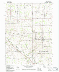
1960 Map of Wren
USGS Topo · Published 1994About this map
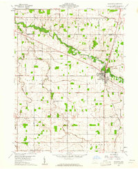
The St Marys River winds through the heart of this landscape, anchoring the settlements of Pleasant Mills and Willshire. This 1960 era survey reveals a well-established grid of rural infrastructure, including a prominent Covered Bridge and the Decatur Hi-Way Landing Field to the west. Local genealogy is well-preserved through several named burial grounds such as Old Mt Tabor Cem, Mc Clure Cem, and Fletcher Cem. The map illustrates a rural economy organized around these waterways and the intersecting networks of Harrison Willshire Road and Ohio City Road. Institutional life is evidenced by Calvary Evangelical Ch and Wren Ch, which served the community of Wren and surrounding townships. This documentation captures the area's agricultural and transit character before late-20th-century modernization significantly altered the footprint of these small crossroads communities.
Find a feature on this map
40 named features on this map. Tap any name to fly to it.
Don’t see what you’re looking for? This feature index may not catch every label — zoom into the map to look around manually.
Map Details
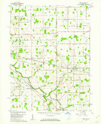
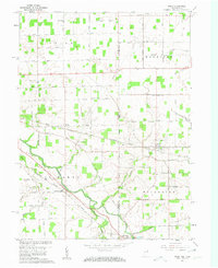
Editions of this 1960 Wren Map
Other maps of this area

1911 · Berne
USGS Topo · 1:48,000

1914 · Celina
USGS Topo · 1:62,500

1914 · Van Wert
USGS Topo · 1:62,500

1944 · Van Wert
USGS Topo · 1:62,500

1944 · Celina
USGS Topo · 1:62,500

1953 · Muncie
USGS Topo · 1:250,000

1956 · Muncie
USGS Topo · 1:250,000
1960 · Convoy
USGS Topo · 1:24,000

1960 · Dixon
USGS Topo · 1:24,000
1960 · Rockford
USGS Topo · 1:24,000