
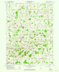
1962 Map of Linn Grove
USGS Topo · Published 1964About this map
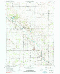
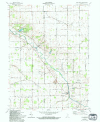
The Wabash River meanders through the central landscape of this 1962 survey, defining the development of small river-oriented settlements like Vera Cruz, Riverside, and Linn Grove. This portion of Indiana, spanning the border of Wells and Adams counties, is heavily characterized by its drainage engineering, including the Hierly Ditch, Moser Ditch, and Breiner DITCH, which reflect the region's agricultural intensification in the early 1960s.
Find a feature on this map
33 named features on this map. Tap any name to fly to it.
Don’t see what you’re looking for? This feature index may not catch every label — zoom into the map to look around manually.
Map Details
Editions of this 1962 Linn Grove Map
3 editions found
Other maps of this area

1911 · Berne
USGS Topo · 1:48,000

1953 · Muncie
USGS Topo · 1:250,000

1956 · Muncie
USGS Topo · 1:250,000

1962 · Uniondale
USGS Topo · 1:24,000

1962 · Preble
USGS Topo · 1:24,000

1962 · Berne
USGS Topo · 1:24,000

1962 · Petroleum
USGS Topo · 1:24,000
1962 · Decatur
USGS Topo · 1:24,000
1962 · Geneva
USGS Topo · 1:24,000
1962 · Domestic
USGS Topo · 1:24,000