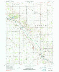
1962 Map of Linn Grove
USGS Topo · Published 1990About this map
The Wabash River winds through this section of the Indiana countryside, anchoring a landscape shaped by small settlements and an extensive network of drainage projects. The village of Linn Grove sits along the river's southern bank, while the small community of Vera Cruz and the nearby Riverside area occupy a bend further upstream. A notable recreational landmark, the Ouabache State Recreation Area, features Kunkel Lake and a Lookout Tower, providing a distinct contrast to the surrounding agricultural grid. Genealogists will find a high density of rural burial sites, including St Johns Cem, Linn Cem, and Moser Cem. The terrain is defined by a systematic hydraulic infrastructure, evidenced by numerous named channels like Joint Ditch and Hierly Ditch, which manage the flow through the French and Nottingham townships.
Find a feature on this map
36 named features on this map. Tap any name to fly to it.
Don’t see what you’re looking for? This feature index may not catch every label — zoom into the map to look around manually.
Map Details
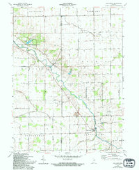
Editions of this 1962 Linn Grove Map
3 editions found
Other maps of this area

1911 · Berne
USGS Topo · 1:48,000

1953 · Muncie
USGS Topo · 1:250,000

1956 · Muncie
USGS Topo · 1:250,000

1962 · Uniondale
USGS Topo · 1:24,000

1962 · Preble
USGS Topo · 1:24,000

1962 · Berne
USGS Topo · 1:24,000

1962 · Petroleum
USGS Topo · 1:24,000
1962 · Decatur
USGS Topo · 1:24,000

1962 · Linn Grove
USGS Topo · 1:24,000
1962 · Geneva
USGS Topo · 1:24,000