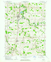
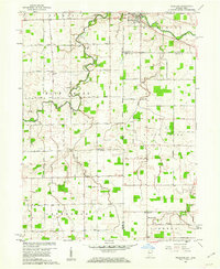
1962 Map of Geneva
USGS Topo · Published 1964About this map
Geneva serves as the focal point for this early 1960s survey, situated along the Pennsylvania railroad line near the winding Wabash River. The area is deeply tied to the literary and conservation legacy of the region, notably featuring the Limberlost State Memorial and the Limberlost State Game Reserve. These sites preserve the memory of the wetlands that once dominated the landscape before the extensive channelization represented by the numerous ditches, such as Limberlost Ditch and Davidson Ditch, transformed the territory for agriculture.
Find a feature on this map
61 named features on this map. Tap any name to fly to it.
Don’t see what you’re looking for? This feature index may not catch every label — zoom into the map to look around manually.
Map Details
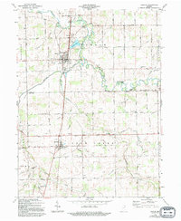
Editions of this 1962 Geneva Map
2 editions found
Other maps of this area

1911 · Berne
USGS Topo · 1:48,000

1915 · Fort Recovery
USGS Topo · 1:48,000

1918 · Fort Recovery
USGS Topo · 1:62,500

1953 · Muncie
USGS Topo · 1:250,000

1956 · Muncie
USGS Topo · 1:250,000

1960 · Fort Recovery
USGS Topo · 1:24,000

1960 · Blaine
USGS Topo · 1:24,000
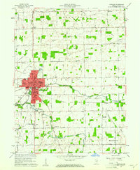
1960 · Portland
USGS Topo · 1:24,000
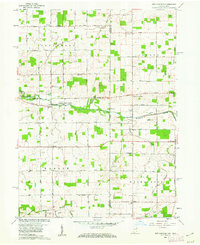
1960 · New Corydon
USGS Topo · 1:24,000
1960 · Willshire
USGS Topo · 1:24,000