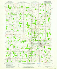
1960 Map of Fort Recovery
USGS Topo · Published 1961About this map
The historical Fort Site stands at the heart of this borderland survey, marking the site of the village of Fort Recovery where the New York Chicago and St Louis Railroad intersects the village center. This 1960 era landscape is defined by the Indiana Ohio state line, which splits the map between Jay and Mercer counties. The land is heavily divided by the Old Indian Treaty Road and the Treaty Line, reflecting the early frontier history of the Old Northwest. Numerous burial sites including Old Pioneer Cem, Spring Hill Cem, and Green Mound Cem are documented alongside the Wabash River and its many tributaries like Stony Creek and Limberlost Creek. Small settlements like Bellefountain and Salamonia dot the agricultural grid, while several Oil Wells indicate the local extraction economy during the mid-century.
Find a feature on this map
81 named features on this map. Tap any name to fly to it.
Don’t see what you’re looking for? This feature index may not catch every label — zoom into the map to look around manually.
Map Details
Editions of this 1960 Fort Recovery Map
2 editions found
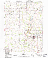
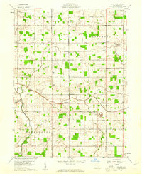
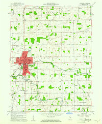
Other maps of this area

1908 · St. Henry
USGS Topo · 1:62,500

1911 · Berne
USGS Topo · 1:48,000

1914 · Celina
USGS Topo · 1:62,500

1915 · Fort Recovery
USGS Topo · 1:48,000

1918 · Fort Recovery
USGS Topo · 1:62,500

1944 · Celina
USGS Topo · 1:62,500

1953 · Muncie
USGS Topo · 1:250,000

1956 · Muncie
USGS Topo · 1:250,000
1960 · Erastus
USGS Topo · 1:24,000
1960 · Portland
USGS Topo · 1:24,000