
1962 Map of Petroleum
USGS Topo · Published 1964About this map
The Salamonie River winds through the southern landscape of this 1962 survey, which documents a rural Indiana region spanning the borders of Wells, Blackford, and Jay Counties. Small agricultural hubs and crossroads like Petroleum, Nottingham, Fiat, and Balbec are dispersed across the township lands of Harrison and Penn. The local infrastructure of the early 1960s is preserved here, featuring local landmarks such as Petroleum Sch, Union Chapel, and the Gilead Ch near the banks of Beaver Creek. Traces of the region's namesake industry are visible through scattered Oil Wells, particularly concentrated near the settlement of Petroleum. Significant local genealogy markers include Bloxsom Cem and a network of family-named roads such as Godfrey Road and McClain Road that connected these farming communities before modern highway expansion.
Find a feature on this map
39 named features on this map. Tap any name to fly to it.
Don’t see what you’re looking for? This feature index may not catch every label — zoom into the map to look around manually.
Map Details
Editions of this 1962 Petroleum Map
This is the sole edition of this map. No revisions or reprints were ever made.
Other maps of this area

1953 · Muncie
USGS Topo · 1:250,000

1956 · Muncie
USGS Topo · 1:250,000

1960 · Pennville
USGS Topo · 1:24,000

1960 · Hartford City East
USGS Topo · 1:24,000

1960 · Blaine
USGS Topo · 1:24,000

1962 · Montpelier
USGS Topo · 1:24,000

1962 · Liberty Center
USGS Topo · 1:24,000

1962 · Linn Grove
USGS Topo · 1:24,000
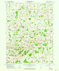
1962 · Domestic
USGS Topo · 1:24,000
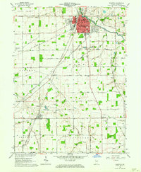
1962 · Bluffton
USGS Topo · 1:24,000