
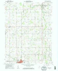
1960 Map of Pennville
USGS Topo · Published 1961About this map
The Salamonie River meanders across the northeast corner of this 1960 landscape, where the settlement of Pennville serves as a primary hub for the surrounding township of Harrison. To the southwest, the industrial footprint of Dunkirk is anchored by the Pennsylvania Railroad and various utility infrastructures, including a large Substation and Sewage Disp facility. The area is defined by an extensive network of drainage ditches and runs, such as Wire Run and Crooked Creek, which carve through the agricultural blocks of Knox and Richland townships.
Find a feature on this map
67 named features on this map. Tap any name to fly to it.
Don’t see what you’re looking for? This feature index may not catch every label — zoom into the map to look around manually.
Map Details
Editions of this 1960 Pennville Map
2 editions found
Other maps of this area

1953 · Muncie
USGS Topo · 1:250,000

1956 · Muncie
USGS Topo · 1:250,000

1960 · Hartford City East
USGS Topo · 1:24,000

1960 · Blaine
USGS Topo · 1:24,000

1960 · Eaton
USGS Topo · 1:24,000

1960 · Ridgeville
USGS Topo · 1:24,000
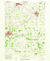
1960 · Redkey
USGS Topo · 1:24,000

1962 · Montpelier
USGS Topo · 1:24,000

1962 · Petroleum
USGS Topo · 1:24,000
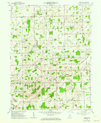
1962 · Domestic
USGS Topo · 1:24,000