
1960 Map of Eaton
USGS Topo · Published 1961About this map
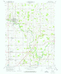
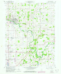
The Mississinewa River winds through this 1960 landscape, serving as a geographic anchor for the town of Eaton and the small settlement of Granville. This era reveals a well-developed agricultural and transportation network in Delaware County, where the New York Chicago and St Louis Railroad runs parallel to the St Louis and Chicago Road. The map provides a detailed view of local infrastructure, from the Radio Tower Tank Farm to the mid-century Drive-in Theater located south of Eden.
Find a feature on this map
61 named features on this map. Tap any name to fly to it.
Don’t see what you’re looking for? This feature index may not catch every label — zoom into the map to look around manually.
Map Details
Editions of this 1960 Eaton Map
3 editions found
Other maps of this area

1952 · Muncie East
USGS Topo · 1:24,000

1952 · Farmland
USGS Topo · 1:24,000

1952 · Muncie West
USGS Topo · 1:24,000

1953 · Muncie
USGS Topo · 1:250,000

1956 · Muncie
USGS Topo · 1:250,000

1960 · Pennville
USGS Topo · 1:24,000

1960 · Hartford City East
USGS Topo · 1:24,000

1960 · Wheeling
USGS Topo · 1:24,000
1960 · Redkey
USGS Topo · 1:24,000

1960 · Hartford City West
USGS Topo · 1:24,000