Old Maps of Monroeville, Indiana for Academic Research
Study the evolution of Monroeville with 15 high-resolution historic maps. Whether you're teaching, researching, or modeling changes in land use, these maps provide essential visual documentation of urban, environmental, and geographic change.
- Analyze long-term change: Track patterns in development, transportation, and natural features.
- Ideal for environmental or urban studies: Support academic projects with primary historical map data.
- Use in the classroom or lab: Educators and researchers rely on these maps to bring historical context to life.
These maps are a powerful tool for teaching, research, and visualizing how Monroeville has changed over the decades.
Monroeville, IN maps
(15)- 1953 Map of Muncie, 1966 Print
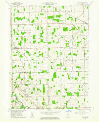
 1953 Muncie1966 Print · USGSIndiana and Ohio borderlands thrive in the early fifties, showing a landscape defined by manufacturing cities and an intensive railroad network. Genealogists can trace family roots across the Indiana-Ohio line through Muncie, Celina, and Portland via the Pennsylvania railroad.5 unique versions available
 - 1956 Map of Muncie
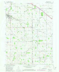
 1956 Muncie1956 Print · USGSEastern Indiana and western Ohio are shown at a peak of rail-driven industry in the mid-fifties. Genealogists and rail historians can trace the paths of the Pennsylvania RR through Muncie or locate landmarks like Lake Saint Marys (Grand Lake Reservoir) and Frances Slocum State Forest.
 - 1960 Map of Dixon, 1961 Print
 1960 Dixon1961 Print · USGSThe Indiana-Ohio borderlands come into focus in the early sixties, showing a landscape shaped by rural townships and the CONRAIL railroad. Local historians can trace family roots at Odd Fellows Cem and Alpha Cem or locate old community centers like Mentzer Ch.5 unique versions available
 - 1961 Map of Hoagland, 1963 Print
 1961 Hoagland1963 Print · USGSNortheast Indiana's agricultural heartland is documented here in the early sixties, centered on the village of Hoagland. Researchers can trace family history through numerous rural landmarks like Massilon Cem, St Johns Sch, and the Marquardt Ch.3 unique versions available
 - 1986 Map of Lima
 1986 Lima1986 Print · USGSWest Ohio and East Indiana are captured here in the mid-1980s, showcasing a landscape of productive farmland and industrial transit hubs. Genealogists and historians can trace the development of Lima and Van Wert or locate landmarks like Woodland Chapel and the Lima Ordnance Modification Center.3 unique versions available
 - 2010 Map of Hoagland, 2010 Print
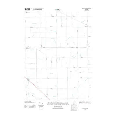
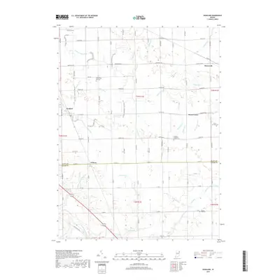
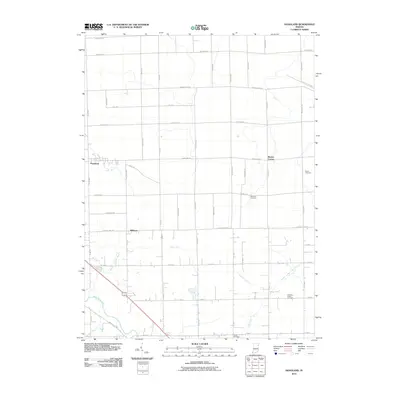 2010 Hoagland2010 Print · USGSCovers Monroeville, including Williams, Hoagland, and other nearby areas
 - 2010 Map of Dixon, 2010 Print
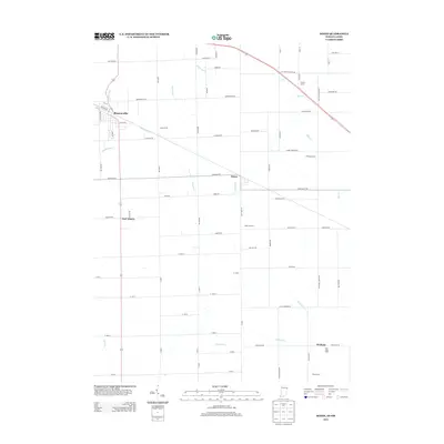
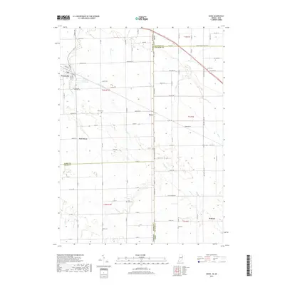
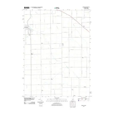 2010 Dixon2010 Print · USGSCovers Monroeville, including Dixon, East Liberty, and other nearby areas
 - 2013 Map of Hoagland, 2013 Print
 2013 Hoagland2013 Print · USGSCovers Monroeville, including Williams, Hoagland, and other nearby areas
 - 2013 Map of Dixon, 2013 Print
 2013 Dixon2013 Print · USGSCovers Monroeville, including Dixon, East Liberty, and other nearby areas
 - 2016 Map of Hoagland, 2016 Print
 2016 Hoagland2016 Print · USGSCovers Monroeville, including Williams, Hoagland, and other nearby areas
 - 2016 Map of Dixon, 2016 Print
 2016 Dixon2016 Print · USGSCovers Monroeville, including Dixon, East Liberty, and other nearby areas
 - 2019 Map of Hoagland, 2019 Print
 2019 Hoagland2019 Print · USGSCovers Monroeville, including Williams, Hoagland, and other nearby areas
 - 2019 Map of Dixon, 2019 Print
 2019 Dixon2019 Print · USGSCovers Monroeville, including Dixon, East Liberty, and other nearby areas
 - 2022 Map of Hoagland, 2022 Print
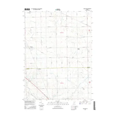
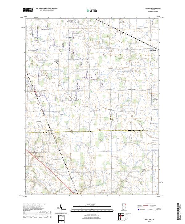 2022 Hoagland2022 Print · USGSEastern Allen County is mapped here in the early 2020s, showing a meticulously drained agricultural landscape. Genealogists can trace family roots at Saint-Johns Lutheran Flat Rock Cem, Alpha Cem, and Pleasant Valley Cem.
 - 2022 Map of Dixon, 2022 Print
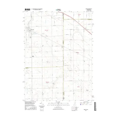
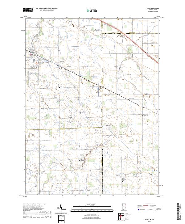 2022 Dixon2022 Print · USGSThe Indiana and Ohio borderlands come alive in this detailed record of rural life and small-town organization. Genealogists can trace family names through numerous sites like Clark Chapel Cem, Bethel Cem, and the village of Monroeville.
End of results
Showing maps 1-15 of 15
Top cities near Monroeville
- Fort Wayne historical maps
- New Haven historical maps
- Decatur historical maps
- Antwerp historical maps
- Woodburn historical maps
- Payne historical maps
See more
Frequently asked questions
- What are the different types of historical maps available for Monroeville?
- What is the oldest map of Monroeville?
- Where can I purchase historical maps of Monroeville for my home or office?
- Where can I download high-res historical maps of Monroeville?
- Are there historical topographic maps available for Monroeville?
- Is there historical aerial imagery available for Monroeville?
- Where are historical maps of Monroeville sourced from?