Old Maps of Lebanon, Indiana for Hiking & Exploration
Hike through history with 17 historic maps of Lebanon. Explore old trails, ghost towns, and forgotten backroads — perfect for outdoor adventurers and local explorers.
- Rediscover forgotten places: Map out old mining camps, roads, and footpaths that no longer exist on modern maps.
- Layer with modern tools: Combine with LiDAR or satellite views to plan hikes through historical terrain.
- Made for exploration: Popular among hikers, overlanders, and local history lovers.
Use these maps to find adventure and explore the hidden past of Lebanon.
Lebanon, IN maps
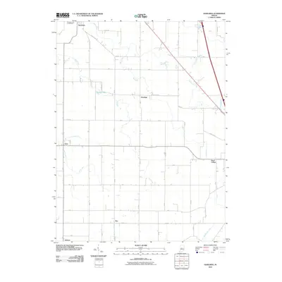
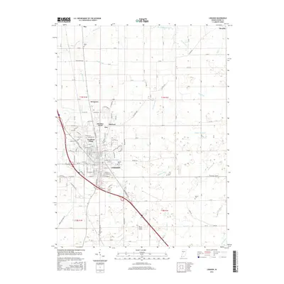
(17)- 1953 Map of Lebanon, 1955 Print
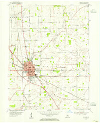 1953 Lebanon1955 Print · USGSThe Boone County seat thrives in the mid-1950s as a vital crossroads of the Pennsylvania and New York Central rail lines. Genealogists can locate family names at Oak Hill Cemetery or trace old school districts like Lindbergh Sch and Harney Sch.
 - 1953 Map of Danville, 1965 Print
 1953 Danville1965 Print · USGSIndiana and Illinois crossroads come to life in this mid-century survey as the interstate era begins to reshape the river-and-rail landscape. Genealogists and collectors can trace the historic paths of the Nickel Plate railroad or locate smaller communities like Veedersburg, Goodland, and Bismarck.3 unique versions available
 - 1955 Map of Danville
 1955 Danville1955 Print · USGSThe Indiana-Illinois borderlands during the mid-fifties reveal a landscape of thriving rail hubs and university towns. Researchers can trace the legacy of Purdue University, the Tippecanoe Battlefield, and the path of the Pennsylvania RR.
 - 1956 Map of Danville
 1956 Danville1956 Print · USGSMid-century Indiana and Illinois are captured here as the river-and-rail economy evolved into the modern highway era. Researchers can trace ancestral roots and old transport lines through Logansport, Battle Ground, and the dams at Lake Shafer.
 - 1961 Map of Hazelrigg, 1963 Print
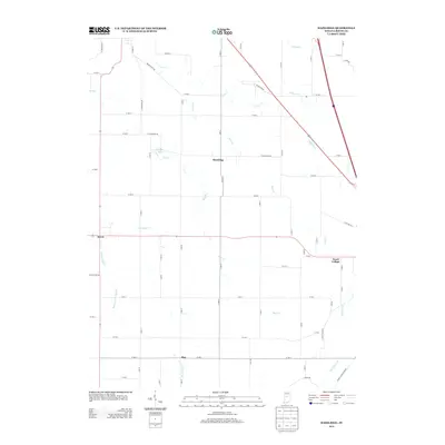
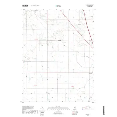
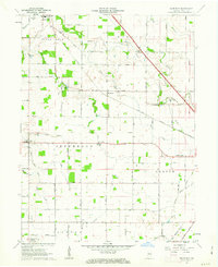 1961 Hazelrigg1963 Print · USGSBoone County's agricultural and rail-oriented landscape is captured here in the early sixties, showing the vital connection between small towns and the New York Central Railroad. Genealogists and historians can locate family sites near Thorntown, Hazelrigg, and Dover, or trace landmarks like the Township Sch and Pleasant View Cem.2 unique versions available
 - 1963 Map of Lebanon, 1965 Print
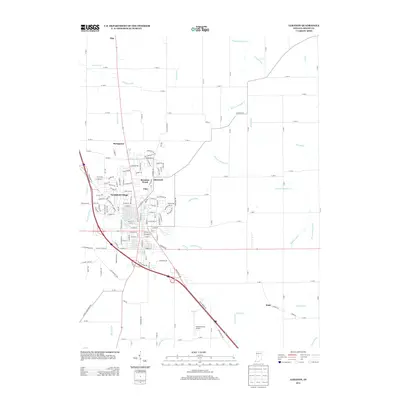
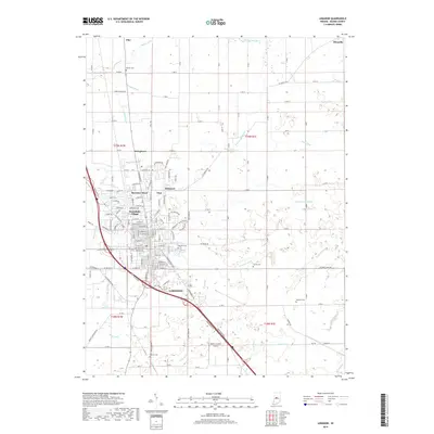
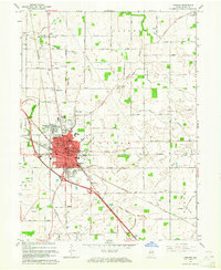 1963 Lebanon1965 Print · USGSLebanon and the surrounding Boone County farmland are captured in the early sixties as suburban growth began to branch out from the historic city core. Genealogists and local historians can trace family locations near Oak Hill Cemetery, Elizaville, and rural landmarks like Bethel Ch.3 unique versions available
 - 1984 Map of Lafayette, 1985 Print
 1984 Lafayette1985 Print · USGSNorth-central Indiana thrives in the 1980s as a hub of higher education, industry, and agriculture centered on the Wabash River. Genealogists and historians can locate family sites near Darrough Chapel, Oak Hill Cem, or the small crossroads of Thorntown and Colfax.2 unique versions available
 - 2010 Map of Lebanon, 2010 Print
 2010 Lebanon2010 Print · USGSCovers Lebanon, including Ulen, Pike, and other nearby areas
 - 2010 Map of Hazelrigg, 2010 Print
 2010 Hazelrigg2010 Print · USGSCovers Lebanon, including Thorntown, Advance, and other nearby areas
 - 2013 Map of Hazelrigg, 2013 Print
 2013 Hazelrigg2013 Print · USGSCovers Lebanon, including Thorntown, Advance, and other nearby areas
 - 2013 Map of Lebanon, 2013 Print
 2013 Lebanon2013 Print · USGSCovers Lebanon, including Ulen, Pike, and other nearby areas
 - 2016 Map of Hazelrigg, 2016 Print
 2016 Hazelrigg2016 Print · USGSCovers Lebanon, including Thorntown, Advance, and other nearby areas
 - 2016 Map of Lebanon, 2016 Print
 2016 Lebanon2016 Print · USGSCovers Lebanon, including Ulen, Pike, and other nearby areas
 - 2019 Map of Lebanon, 2019 Print
 2019 Lebanon2019 Print · USGSCovers Lebanon, including Ulen, Pike, and other nearby areas
 - 2019 Map of Hazelrigg, 2019 Print
 2019 Hazelrigg2019 Print · USGSCovers Lebanon, including Thorntown, Advance, and other nearby areas
 - 2022 Map of Lebanon, 2022 Print
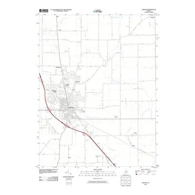
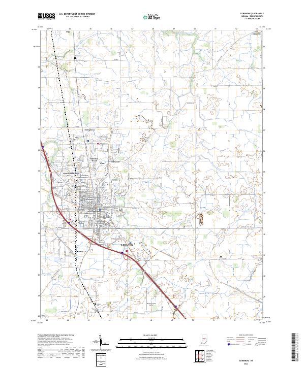 2022 Lebanon2022 Print · USGSLebanon and its surrounding townships are shown here as the county seat continues to grow alongside its deep agricultural roots. Trace family lineage at Oak Hill Cem and follow the rail-to-trail conversion of the Big Four Trl.
 - 2022 Map of Hazelrigg, 2022 Print
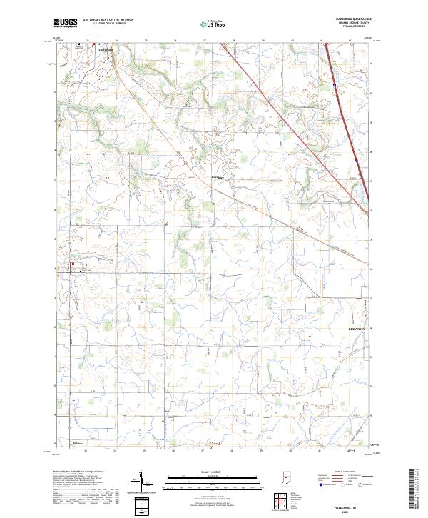 2022 Hazelrigg2022 Print · USGSBoone County farmland is captured here in the early 2020s, showing the intersection of historic rail corridors and rural life. Genealogists can locate Maple Lawn Cem and Dover Cem or trace the Big Four Trl past Hazelrigg.
End of results
Showing maps 1-17 of 17
Top cities near Lebanon
- Indianapolis historical maps
- Brownsburg historical maps
- Frankfort historical maps
- Zionsville historical maps
- Pittsboro historical maps
- Thorntown historical maps
See more
Top neighborhoods of Lebanon
Frequently asked questions
- What are the different types of historical maps available for Lebanon?
- What is the oldest map of Lebanon?
- Where can I purchase historical maps of Lebanon for my home or office?
- Where can I download high-res historical maps of Lebanon?
- Are there historical topographic maps available for Lebanon?
- Is there historical aerial imagery available for Lebanon?
- Where are historical maps of Lebanon sourced from?