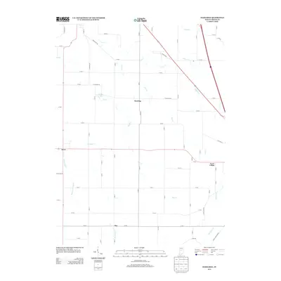
2013 Map of Hazelrigg
USGS Topo · Published 2013About this map
Hazelrigg and Dover anchor this rural Boone County landscape, illustrating a classic Midwestern pattern of small unincorporated settlements connected by a strictly gridded road system. The area is defined by its complex drainage network, where natural waterways like Wolf Cr and Prairie Cr are supplemented by man-made infrastructure such as Higgins Ditch and Shaw Ditch. This integration of natural and engineered water management is central to the region's agricultural productivity. To the east, Hazel College and the crossroads of Max provide further evidence of the historical community clusters that once dotted the Indiana countryside. The presence of Serum Plant Rd near Prairie Cr hints at specialized regional industries, while Norman Lake offers a rare break in the predominant pattern of creeks and farm fields.
Find a feature on this map
43 named features on this map. Tap any name to fly to it.
Don’t see what you’re looking for? This feature index may not catch every label — zoom into the map to look around manually.
Map Details
Editions of this 2013 Hazelrigg Map
This is the sole edition of this map. No revisions or reprints were ever made.
Other maps of this area

1953 · Fayette
USGS Topo · 1:24,000

1953 · Lizton
USGS Topo · 1:24,000

1953 · Lebanon
USGS Topo · 1:24,000

1953 · Danville
USGS Topo · 1:250,000

1953 · Indianapolis
USGS Topo · 1:250,000

1955 · Danville
USGS Topo · 1:250,000

1956 · Danville
USGS Topo · 1:250,000

1956 · Indianapolis
USGS Topo · 1:250,000

1957 · Indianapolis
USGS Topo · 1:250,000

1957 · New Ross
USGS Topo · 1:24,000