Old Maps of Cass County, Indiana
Explore 22 old maps of Cass County, spanning from 1951 to today. These high-resolution historic maps reveal how streets, neighborhoods, landmarks, and natural features evolved over time — perfect for genealogy, metal detecting, research, and local history exploration.
What you can do with these maps:
- See how Cass County changed over time: Compare historical maps to modern-day views to trace roads, homesites, rail lines & more.
- View detailed metadata: Each map includes creators, publishers, year, scale, and archive source.
- Overlay maps with satellite & LiDAR: Visualize the past alongside modern tools to explore terrain & human change.
- Trusted historical sources: Maps sourced from the USGS, Library of Congress, and other archives.
- Access maps your way: View online, download high-res files, or order prints for personal or research use.
Start exploring old maps of Cass County to uncover forgotten places, hidden landmarks, and the deep history beneath your feet.
Cass County, IN maps
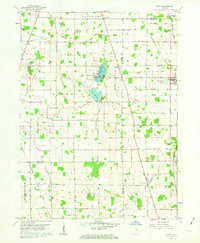
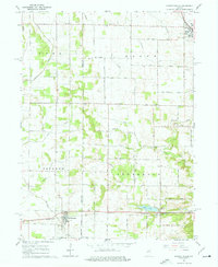
(22)- 1951 Map of Onward
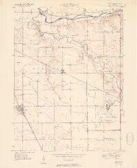 1951 Onward1951 Print · USGSCovers Cass County, including Onward, Lewisburg, and other nearby areas2 unique versions available
 - 1951 Map of Twelve Mile
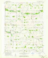
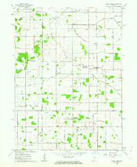
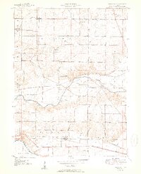 1951 Twelve Mile1951 Print · USGSCovers Cass County, including Peru, Twelve Mile, and other nearby areas2 unique versions available
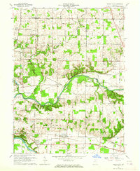
 - 1953 Map of Danville, 1965 Print
 1953 Danville1965 Print · USGSCovers Cass County, including Carmel, Fishers, and other nearby areas3 unique versions available
 - 1955 Map of Danville
 1955 Danville1955 Print · USGSCovers Cass County, including Carmel, Fishers, and other nearby areas
 - 1955 Map of Logansport, 1957 Print
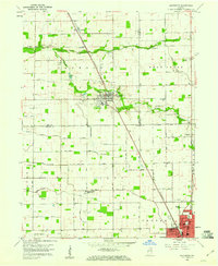
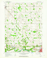
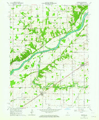
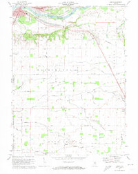
 1955 Logansport1957 Print · USGSCovers Cass County, including Logansport, Old Adamsboro, and other nearby areas
 - 1955 Map of Anoka, 1957 Print
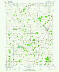
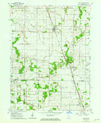
 1955 Anoka1957 Print · USGSCovers Cass County, including Logansport, Poundstone Corner, and other nearby areas
 - 1956 Map of Danville
 1956 Danville1956 Print · USGSCovers Cass County, including Carmel, Fishers, and other nearby areas
 - 1959 Map of Galveston, 1960 Print
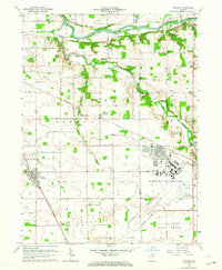
 1959 Galveston1960 Print · USGSCovers Cass County, including Kokomo, Galveston, and other nearby areas3 unique versions available
 - 1959 Map of Young America, 1961 Print
 1959 Young America1961 Print · USGSCovers Cass County, including Kappa Corner, Young America, and other nearby areas2 unique versions available
 - 1960 Map of Lucerne, 1963 Print
 1960 Lucerne1963 Print · USGSCovers Cass County, including Logansport, Royal Center, and other nearby areas2 unique versions available
 - 1960 Map of Fulton, 1963 Print
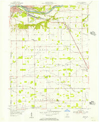
 1960 Fulton1963 Print · USGSCovers Cass County, including Fulton, Marshtown, and other nearby areas2 unique versions available
 - 1960 Map of Macy, 1963 Print
 1960 Macy1963 Print · USGSCovers Cass County, including Macy, Green Oak, and other nearby areas3 unique versions available
 - 1960 Map of Grass Creek, 1964 Print
 1960 Grass Creek1964 Print · USGSCovers Cass County, including Grass Creek, Fulton County, and other nearby areas3 unique versions available
 - 1962 Map of Burrows, 1963 Print
 1962 Burrows1963 Print · USGSCovers Cass County, including Flax, Rockfield, and other nearby areas3 unique versions available
 - 1962 Map of Star City, 1964 Print
 1962 Star City1964 Print · USGSCovers Cass County, including Thornhope, Star City, and other nearby areas
 - 1962 Map of Burnettsville, 1964 Print
 1962 Burnettsville1964 Print · USGSCovers Cass County, including Royal Center, Burnettsville, and other nearby areas2 unique versions available
 - 1962 Map of Clymers, 1964 Print
 1962 Clymers1964 Print · USGSCovers Cass County, including Logansport, Clymers, and other nearby areas3 unique versions available
 - 1963 Map of Twelve Mile, 1964 Print
 1963 Twelve Mile1964 Print · USGSCovers Cass County, including Peru, Twelve Mile, and other nearby areas4 unique versions available
 - 1963 Map of Onward, 1964 Print
 1963 Onward1964 Print · USGSCovers Cass County, including Onward, Lewisburg, and other nearby areas3 unique versions available
 - 1972 Map of Anoka, 1974 Print
 1972 Anoka1974 Print · USGSCovers Cass County, including Logansport, Poundstone Corner, and other nearby areas3 unique versions available
 - 1972 Map of Logansport, 1974 Print
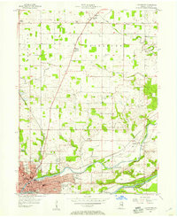
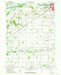
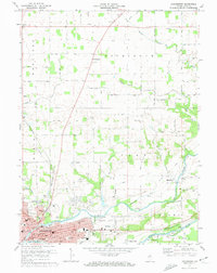 1972 Logansport1974 Print · USGSCovers Cass County, including Logansport, Old Adamsboro, and other nearby areas2 unique versions available
 - 1985 Map of Logansport
 1985 Logansport1985 Print · USGSCovers Cass County, including Kokomo, Logansport, and other nearby areas2 unique versions available
End of results
Showing maps 1-22 of 22
Top cities of Cass County
- Logansport historical maps
- Galveston historical maps
- Royal Center historical maps
- Onward historical maps
Frequently asked questions
- What are the different types of historical maps available for Cass County?
- What is the oldest map of Cass County?
- Where can I purchase historical maps of Cass County for my home or office?
- Where can I download high-res historical maps of Cass County?
- Are there historical topographic maps available for Cass County?
- Is there historical aerial imagery available for Cass County?
- Where are historical maps of Cass County sourced from?