Old Maps of Clinton County, Indiana for Academic Research
Study the evolution of Clinton County with 88 high-resolution historic maps. Whether you're teaching, researching, or modeling changes in land use, these maps provide essential visual documentation of urban, environmental, and geographic change.
- Analyze long-term change: Track patterns in development, transportation, and natural features.
- Ideal for environmental or urban studies: Support academic projects with primary historical map data.
- Use in the classroom or lab: Educators and researchers rely on these maps to bring historical context to life.
These maps are a powerful tool for teaching, research, and visualizing how Clinton County has changed over the decades.
Clinton County, IN maps
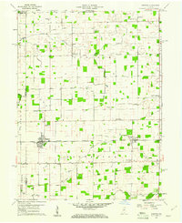
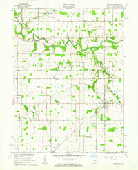
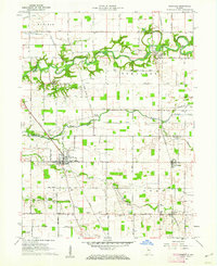
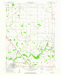
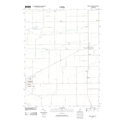
(88)- 1953 Map of Danville, 1965 Print
 1953 Danville1965 Print · USGSIndiana and Illinois crossroads come to life in this mid-century survey as the interstate era begins to reshape the river-and-rail landscape. Genealogists and collectors can trace the historic paths of the Nickel Plate railroad or locate smaller communities like Veedersburg, Goodland, and Bismarck.3 unique versions available
 - 1955 Map of Danville
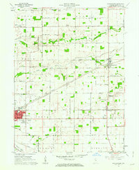
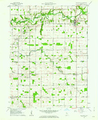
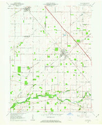
 1955 Danville1955 Print · USGSThe Indiana-Illinois borderlands during the mid-fifties reveal a landscape of thriving rail hubs and university towns. Researchers can trace the legacy of Purdue University, the Tippecanoe Battlefield, and the path of the Pennsylvania RR.
 - 1956 Map of Danville
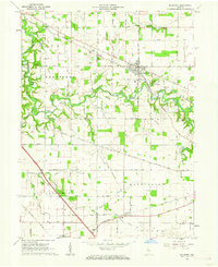
 1956 Danville1956 Print · USGSMid-century Indiana and Illinois are captured here as the river-and-rail economy evolved into the modern highway era. Researchers can trace ancestral roots and old transport lines through Logansport, Battle Ground, and the dams at Lake Shafer.
 - 1960 Map of Kempton, 1961 Print
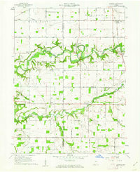
 1960 Kempton1961 Print · USGSCentral Indiana's agricultural heartland is documented here in the early sixties, showing the vital rail-and-canal network. Trace family roots at Kempton Cem or explore the rural clusters of Groomsville and Normanda along the New York Chicago and St Louis railroad.2 unique versions available
 - 1961 Map of Michigantown, 1962 Print
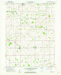
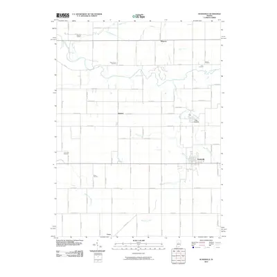
 1961 Michigantown1962 Print · USGSClinton County at the start of the sixties reveals a transition from traditional farming life to a more connected regional network. Genealogists can trace family landmarks like Hopewell Ch, Paris Cem, and the small community of Beard along the northern roads.2 unique versions available
 - 1961 Map of Mulberry, 1962 Print
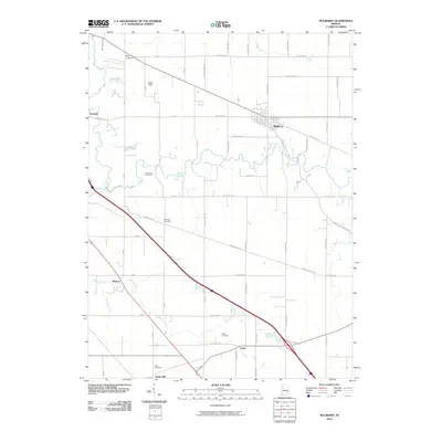
 1961 Mulberry1962 Print · USGSClinton and Tippecanoe counties are shown in the early sixties as a productive agricultural region anchored by the railroad. Genealogists and historians can trace numerous rural family burial grounds like Baker Cem and Newcomer Cem, or locate the Clover Leaf Ch near the village of Fickle.3 unique versions available
 - 1961 Map of Pyrmont, 1962 Print
 1961 Pyrmont1962 Print · USGSThe rural borderlands of Tippecanoe, Carroll, and Clinton counties are captured here in the early sixties as a patchwork of productive farmland and creek valleys. Researchers can locate numerous family burial sites and rural landmarks, from St Johns Cem and Linn Cem to the unique topography of The Mound.2 unique versions available
 - 1961 Map of Russiaville, 1962 Print
 1961 Russiaville1962 Print · USGSThe crossroads of Russiaville and the winding Wildcat Creek define this Howard County landscape in the early sixties. Genealogists can trace family roots through numerous sites like Old Prophet Cem, Howard Ch, and the settlement of New London.3 unique versions available
 - 1961 Map of Sheridan, 1962 Print
 1961 Sheridan1962 Print · USGSSheridan and the surrounding Indiana farm country are captured here at the start of the 1960s, showing a landscape defined by rail and early aviation. Researchers can trace the MONON line through town or locate family sites at Crown Hill Cem, Wiles Cem, and Hills Ch.3 unique versions available
 - 1961 Map of Mechanicsburg, 1962 Print
 1961 Mechanicsburg1962 Print · USGSMid-century Boone and Clinton County life is centered around the creek-side village of Mechanicsburg and the agricultural hub of Cyclone. Researchers can trace the path of the Monon Railroad or locate local landmarks like Bethel Ch and Garrett Cem.2 unique versions available
 - 1961 Map of Hillisburg, 1962 Print
 1961 Hillisburg1962 Print · USGSClinton and Howard counties show a landscape of rail-connected grain hubs and rural cemeteries in the early 1960s. Genealogists can locate family burial plots at Prairie Chapel Cem and Bacon Cem or trace the early paths of the St Louis and Chicago Road.2 unique versions available
 - 1961 Map of Rossville, 1962 Print
 1961 Rossville1962 Print · USGSClinton and Carroll Counties thrive as a rail-connected farming hub in the early sixties. Researchers can trace ancestral roots at Mt Hope Cem or follow the historic grain and milling economy at Adams Mill and the PENNSYLVANIA railroad depots.2 unique versions available
 - 1961 Map of Burlington, 1962 Print
 1961 Burlington1962 Print · USGSCarroll and Clinton counties are captured here in the early sixties, showing a landscape defined by the winding Wildcat Creek and small rural intersections. Researchers can locate numerous historic burial grounds like Old Chaney Cem and Hye Park Cem or the rural Koro Church.3 unique versions available
 - 1961 Map of Frankfort, 1963 Print
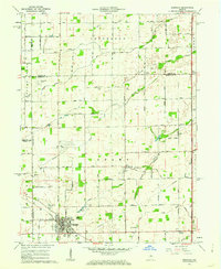
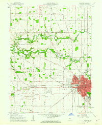 1961 Frankfort1963 Print · USGSThe rail-driven growth of central Indiana is on full display here in the early sixties, showing the crossroads of three major lines. Researchers can trace family history through sites like Pleasant Hill Ch, Deniston Siding, and the Greenlawn Memorial Park.3 unique versions available
 - 1961 Map of Kirklin, 1963 Print
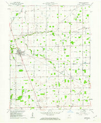 1961 Kirklin1963 Print · USGSCentral Indiana farmland thrives in the early sixties, centered on the rail-linked village of Kirklin. Researchers can trace rural life through family-named landmarks like Bogan Cem, Sedwick Chapel, and the historic MONON railroad corridor.2 unique versions available
 - 1962 Map of Thorntown, 1963 Print
 1962 Thorntown1963 Print · USGSThorntown and the surrounding Boone County farmland are captured in the early sixties as a network of rail-side settlements and rural parishes. Genealogists and local historians can trace family-named landmarks like Maple Lawn Cem, Kinder Ch, and the Old Indian Treaty Boundary.3 unique versions available
 - 1962 Map of Colfax, 1963 Print
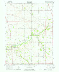
 1962 Colfax1963 Print · USGSColfax and the surrounding rural townships are shown here in the early sixties at a peak of mid-century rail activity. Genealogists can trace family connections through numerous local burial sites including Union Cem, Shilo Cem, and Plainview Cem near the banks of Sugar Creek.2 unique versions available
 - 1984 Map of Lafayette, 1985 Print
 1984 Lafayette1985 Print · USGSNorth-central Indiana thrives in the 1980s as a hub of higher education, industry, and agriculture centered on the Wabash River. Genealogists and historians can locate family sites near Darrough Chapel, Oak Hill Cem, or the small crossroads of Thorntown and Colfax.2 unique versions available
 - 2010 Map of Colfax, 2010 Print
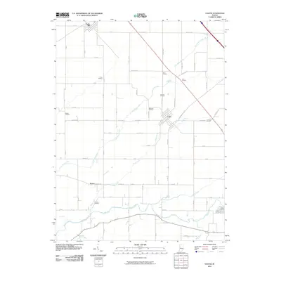 2010 Colfax2010 Print · USGSCovers Clinton County, including Colfax, Clarks Hill, and other nearby areas
 - 2010 Map of Sheridan, 2010 Print
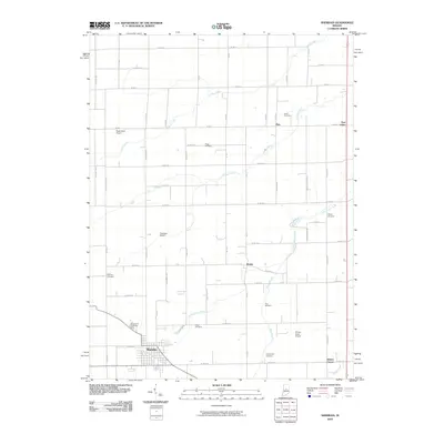 2010 Sheridan2010 Print · USGSCovers Clinton County, including Sheridan, Ekin, and other nearby areas
 - 2010 Map of Michigantown, 2010 Print
 2010 Michigantown2010 Print · USGSCovers Clinton County, including Frankfort, Michigantown, and other nearby areas
 - 2010 Map of Mulberry, 2010 Print
 2010 Mulberry2010 Print · USGSCovers Clinton County, including Mulberry, Clarks Hill, and other nearby areas
 - 2010 Map of Kempton, 2010 Print
 2010 Kempton2010 Print · USGSCovers Clinton County, including Kempton, Tetersburg, and other nearby areas
 - 2010 Map of Russiaville, 2010 Print
 2010 Russiaville2010 Print · USGSCovers Clinton County, including Russiaville, Ridgeway, and other nearby areas
 - 2010 Map of Thorntown, 2010 Print
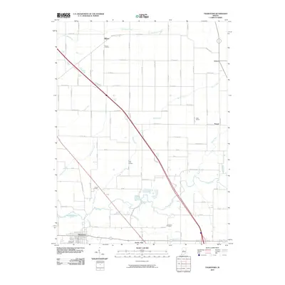 2010 Thorntown2010 Print · USGSCovers Clinton County, including Thorntown, Manson, and other nearby areas
Showing maps 1-25 of 88
Top cities of Clinton County
- Frankfort historical maps
- Rossville historical maps
- Mulberry historical maps
- Forest historical maps
- Colfax historical maps
- Kirklin historical maps
See more
Frequently asked questions
- What are the different types of historical maps available for Clinton County?
- What is the oldest map of Clinton County?
- Where can I purchase historical maps of Clinton County for my home or office?
- Where can I download high-res historical maps of Clinton County?
- Are there historical topographic maps available for Clinton County?
- Is there historical aerial imagery available for Clinton County?
- Where are historical maps of Clinton County sourced from?