2020s Maps of Crawford County, Indiana
Explore 14 historic maps of Crawford County from the 2020s. These maps offer a rare glimpse into what life looked like during the 2020s — showing old roads, neighborhoods, homes, and landmarks that have changed or disappeared over time.
Whether you're researching your family's past, planning a metal detecting trip, or studying how Crawford County's landscape evolved across the 2020s, these high-resolution maps are a powerful tool for exploring the history of this region.
- Focus on a specific era: All maps on this page are from the 2020s, giving you a focused view of this time period.
- See what’s changed: Compare century-old streets, trails, and buildings to today's modern landscape using overlays and satellite layers.
- Research with precision: Use these maps for genealogy, historical research, land use analysis, or educational projects.
- View, download, or print: Maps are fully viewable online in high resolution, and can be downloaded or printed for your own records.
Start exploring Crawford County's history through authentic maps from the 2020s. This is your window into the past.
Crawford County, IN maps
(14)- 2022 Map of Valeene, 2022 Print
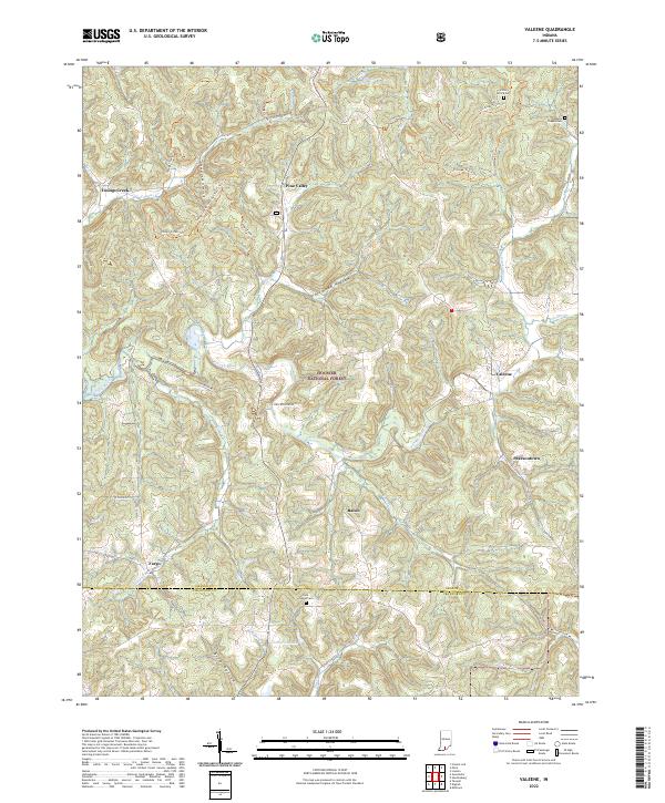 2022 Valeene2022 Print · USGSThe rural uplands of Orange County are shown in detail here, where the Patoka River meets the protected woods of the Hoosier National Forest. Trace family histories and local routes through communities like Valeene and Bacon, or locate historic sites such as the Little Africa Cem.
 - 2022 Map of Alton, 2022 Print
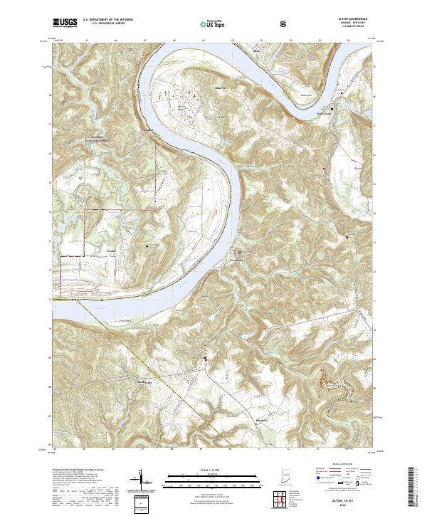 2022 Alton2022 Print · USGSThe Ohio River oxbow dominates this landscape at the Indiana-Kentucky border, where riverfront hamlets and upland forests meet. Researchers can trace family history through sites like Saint Theresa Cem and the Flannery Family Cem or explore the terrain of Jarbo Sinks and Little Bend.
 - 2022 Map of Beechwood, 2022 Print
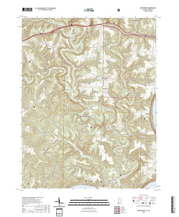 2022 Beechwood2022 Print · USGSCrawford County and the forest lands of southern Indiana are shown here just as the new decade began. Researchers can trace numerous family burial grounds like Bloom Riddle Cem and Wiseman Cem or locate the riverside settlement of Fredonia.
 - 2022 Map of Milltown, 2022 Print
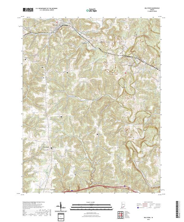 2022 Milltown2022 Print · USGSCrawford County's rural uplands and the winding Blue River valley are shown here in the early twenty-first century. Genealogists and local historians can locate numerous burial sites and small settlements, such as Batman Ridge Cem, Hogtown, and Carefree.
 - 2022 Map of English, 2022 Print
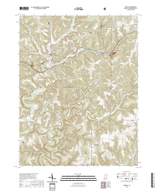 2022 English2022 Print · USGSCrawford County's wooded hills and small valley settlements are captured here in the early twenty-first century. Genealogists and local historians can locate many family landmarks, from the Crawford County Courthouse in English to the Dillman Cem and Grantsburg Cem.
 - 2022 Map of Hardinsburg, 2022 Print
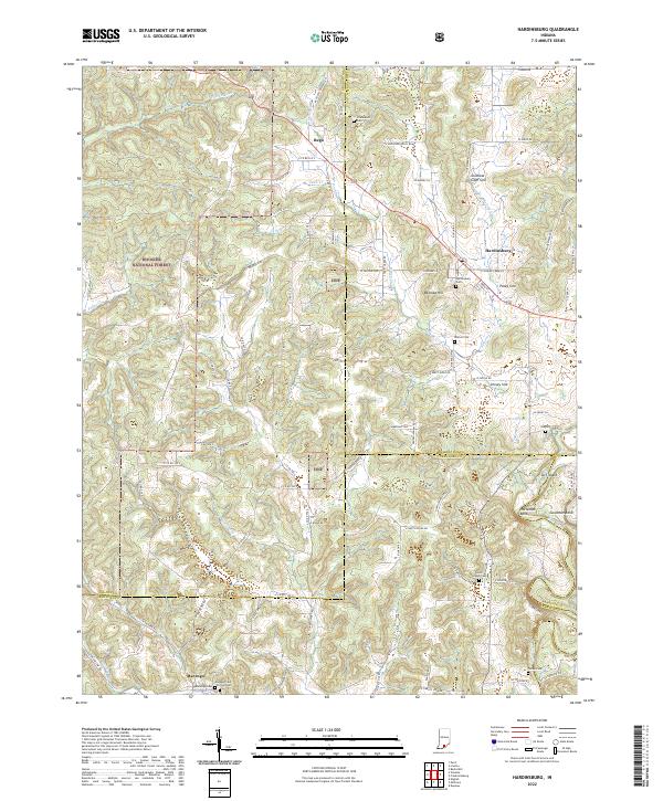 2022 Hardinsburg2022 Print · USGSSouthern Indiana's karst landscape is captured in high detail during the early 2020s, showing the rural communities near the Hoosier National Forest. Researchers can trace family roots at Hardinsburg Cemetery, Totten Cemetery, or the old settlement of Rego.
 - 2022 Map of Taswell, 2022 Print
 2022 Taswell2022 Print · USGSCrawford County's wooded ridges and small crossroads settlements are captured here in the early twenty-first century. Genealogists and local historians can locate many rural burial sites, including Eckerty Cemetery and Bethany Union Cemetery, alongside landmarks like Hemlock Cliffs and Doolittle Mills.
 - 2022 Map of Greenbrier, 2022 Print
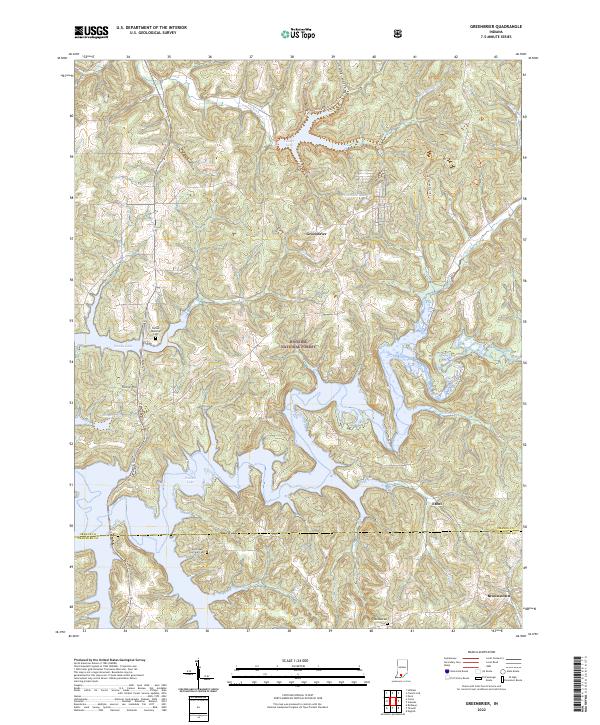 2022 Greenbrier2022 Print · USGSThe intricate shoreline of Patoka Lake and the deep woods of the Hoosier National Forest define this corner of southern Indiana. Genealogists and local historians can locate old burial grounds like Jericho Cem and small communities such as Greenbrier or Ethel.
 - 2022 Map of Birdseye, 2022 Print
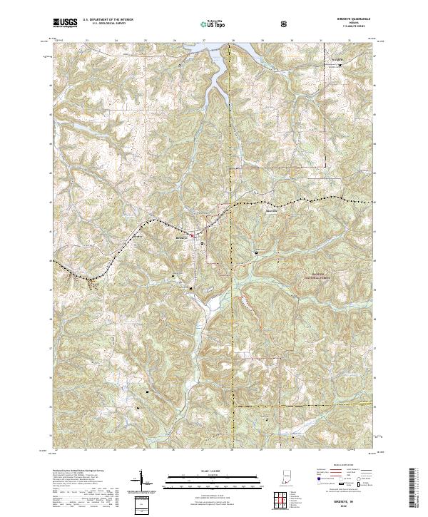 2022 Birdseye2022 Print · USGSSouthern Indiana's forested hills and the headwaters of the Anderson River define this area as it appeared in the early 2020s. Genealogists and local historians can trace legacy sites like Birdseye Cem, Blunk Cem, and the small community of Wickliffe.
 - 2022 Map of Branchville, 2022 Print
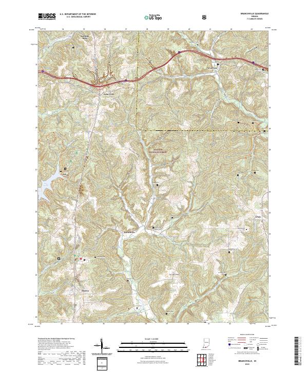 2022 Branchville2022 Print · USGSSouthern Indiana's forested ridges and hollows are captured here as they appeared in 2022, centering on the rural communities of Perry and Crawford counties. Genealogists can locate numerous small burial sites like Luxemburger Cem and Keysacker Cem alongside the historic Doolittle Mills.
 - 2022 Map of Cuzco, 2022 Print
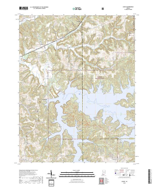 2022 Cuzco2022 Print · USGSSouthern Indiana's reservoir landscape is on full display in this modern survey of the area around Patoka Lake. Researchers can trace the rural layout of Cuzco and Norton, find the Swift Cem, and explore trails winding through the Hoosier National Forest.
 - 2022 Map of Fredericksburg, 2022 Print
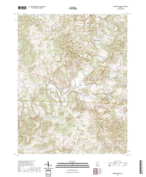 2022 Fredericksburg2022 Print · USGSFredericksburg and the surrounding hills of Washington and Harrison Counties are mapped here in the early twenty-first century. Genealogists and local historians can trace family-named landmarks like Hancock Hill, Stout Hill, and the Reno Cem.
 - 2022 Map of Depauw, 2022 Print
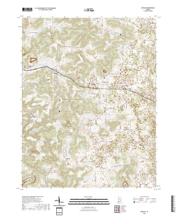 2022 Depauw2022 Print · USGSHarrison County settlement patterns and ridge-top life are documented here in the early 2020s. Genealogists and local historians can trace family locations through Saint Bernard Catholic Cem and rural centers like Little Saint Louis and Moberly.
 - 2022 Map of Leavenworth, 2022 Print
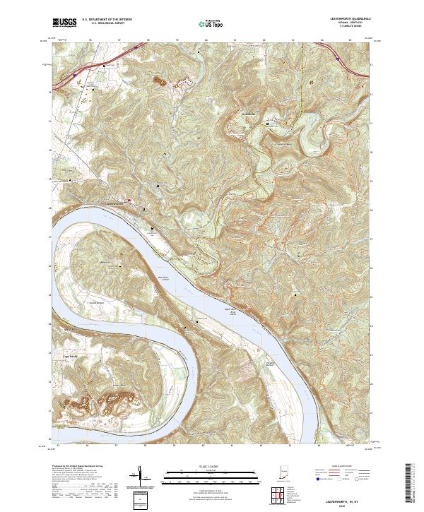 2022 Leavenworth2022 Print · USGSThe Indiana-Kentucky borderlands along the Ohio River come to life here during the early twenty-first century. Genealogists and local historians can trace family roots at the Foster Family Cemetery or explore the river bottoms of Round Bottom and Paradise Bottom.
End of results
Showing maps 1-14 of 14
Top cities of Crawford County
Frequently asked questions
- What are the different types of historical maps available for Crawford County?
- What is the oldest map of Crawford County?
- Where can I purchase historical maps of Crawford County for my home or office?
- Where can I download high-res historical maps of Crawford County?
- Are there historical topographic maps available for Crawford County?
- Is there historical aerial imagery available for Crawford County?
- Where are historical maps of Crawford County sourced from?