2000s (21st Century) Maps of Odon, Indiana
Explore 10 historic maps of Odon from the 2000s (21st Century). These maps offer a rare glimpse into what life looked like during the 2000s — showing old roads, neighborhoods, homes, and landmarks that have changed or disappeared over time.
Whether you're researching your family's past, planning a metal detecting trip, or studying how Odon's landscape evolved across the 2000s, these high-resolution maps are a powerful tool for exploring the history of this region.
- Focus on a specific era: All maps on this page are from the 2000s, giving you a focused view of this time period.
- See what’s changed: Compare century-old streets, trails, and buildings to today's modern landscape using overlays and satellite layers.
- Research with precision: Use these maps for genealogy, historical research, land use analysis, or educational projects.
- View, download, or print: Maps are fully viewable online in high resolution, and can be downloaded or printed for your own records.
Start exploring Odon's history through authentic maps from the 2000s. This is your window into the past.
Odon, IN maps
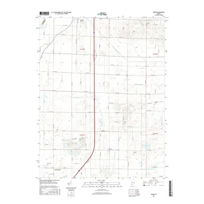
(10)- 2010 Map of Epsom, 2010 Print
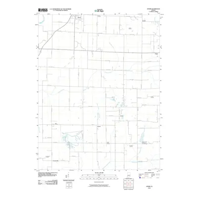 2010 Epsom2010 Print · USGSCovers Odon, including Elnora, Epsom, and other nearby areas
 - 2010 Map of Odon, 2010 Print
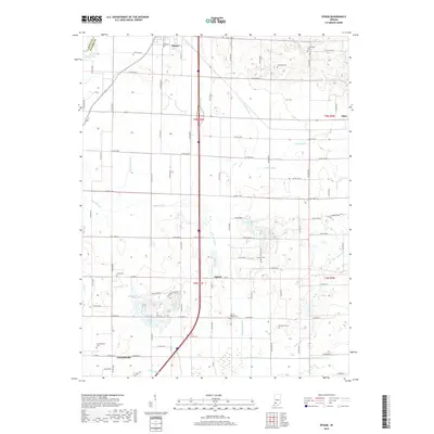
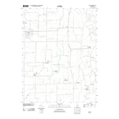 2010 Odon2010 Print · USGSCovers Odon, including Bramble, Raglesville, and other nearby areas
 - 2013 Map of Odon, 2013 Print
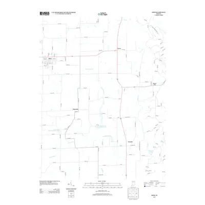 2013 Odon2013 Print · USGSCovers Odon, including Bramble, Raglesville, and other nearby areas
 - 2013 Map of Epsom, 2013 Print
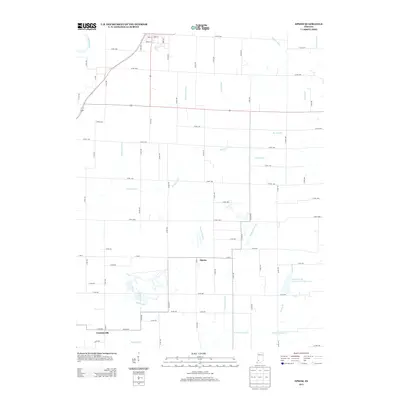 2013 Epsom2013 Print · USGSCovers Odon, including Elnora, Epsom, and other nearby areas
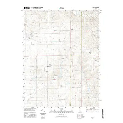
 - 2016 Map of Epsom, 2016 Print
 2016 Epsom2016 Print · USGSCovers Odon, including Elnora, Epsom, and other nearby areas
 - 2016 Map of Odon, 2016 Print
 2016 Odon2016 Print · USGSCovers Odon, including Bramble, Raglesville, and other nearby areas
 - 2019 Map of Odon, 2019 Print
 2019 Odon2019 Print · USGSCovers Odon, including Bramble, Raglesville, and other nearby areas
 - 2019 Map of Epsom, 2019 Print
 2019 Epsom2019 Print · USGSCovers Odon, including Elnora, Epsom, and other nearby areas
 - 2022 Map of Odon, 2022 Print
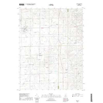
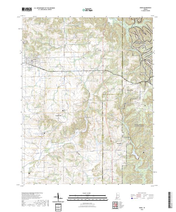 2022 Odon2022 Print · USGSDaviess and Martin Counties are shown in the early 2020s, documenting a landscape defined by traditional farming and rural hamlets. Genealogists and local historians can trace family roots through sites like Raglesville Cem, Kilgore Cem, and the small settlement of Bramble.
 - 2022 Map of Epsom, 2022 Print
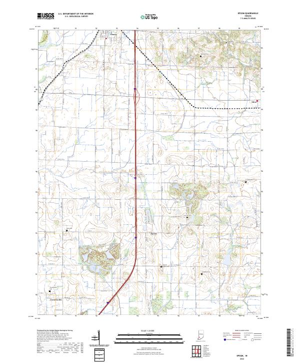 2022 Epsom2022 Print · USGSDaviess County farmland in the early 2020s is shaped by a complex system of drainage ditches and rural settlements. Researchers can locate many local burial sites, including Talbotts Chapel Cem and Cornettsville Cem, along with the crossroads of Epsom.
End of results
Showing maps 1-10 of 10
Top cities near Odon
- Washington historical maps
- Linton historical maps
- Loogootee historical maps
- Bloomfield historical maps
- Shoals historical maps
- Lyons historical maps
See more
Frequently asked questions
- What are the different types of historical maps available for Odon?
- What is the oldest map of Odon?
- Where can I purchase historical maps of Odon for my home or office?
- Where can I download high-res historical maps of Odon?
- Are there historical topographic maps available for Odon?
- Is there historical aerial imagery available for Odon?
- Where are historical maps of Odon sourced from?