Old Maps of Odon, Indiana for Hiking & Exploration
Hike through history with 21 historic maps of Odon. Explore old trails, ghost towns, and forgotten backroads — perfect for outdoor adventurers and local explorers.
- Rediscover forgotten places: Map out old mining camps, roads, and footpaths that no longer exist on modern maps.
- Layer with modern tools: Combine with LiDAR or satellite views to plan hikes through historical terrain.
- Made for exploration: Popular among hikers, overlanders, and local history lovers.
Use these maps to find adventure and explore the hidden past of Odon.
Odon, IN maps
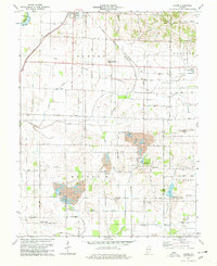
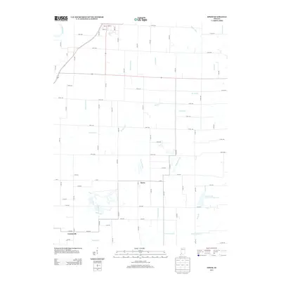
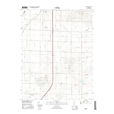
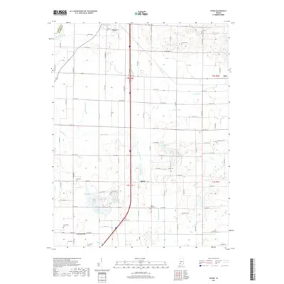
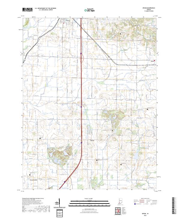
(21)- 1943 Map of Epsom
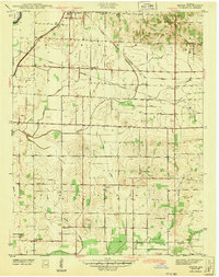 1943 Epsom1943 Print · USGSDaviess County during the early 1940s is captured here through its intricate ditch systems and crossing rail lines. Genealogists can locate family landmarks like Tolberts Chapel Cem and Cornettsville or trace the path of the New York Central.2 unique versions available
 - 1950 Map of Odon, 1953 Print
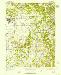 1950 Odon1953 Print · USGSDaviess and Martin counties are captured here in the early fifties, showing a region of quiet agricultural towns and developing industry. Researchers can find many family landmarks, including Walnut Hill Cem, Union Chapel, and the settlement of Raglesville.2 unique versions available
 - 1956 Map of Vincennes, 1967 Print
 1956 Vincennes1967 Print · USGSSouthern Indiana and the Illinois borderlands are captured here in the mid-fifties, showing the region's dense network of river towns and rail lines. Researchers can trace historic river crossings along the Wabash River or locate landmarks like Wyandotte Cave and Lincoln State Park.4 unique versions available
 - 1957 Map of Vincennes
 1957 Vincennes1957 Print · USGSSouthwest Indiana and the Illinois borderlands come alive in the late 1950s, a period of heavy rail traffic and expanding state forests. Genealogists and historians can trace the riverfronts and rail lines of Vincennes, New Harmony, and the vast Crane Naval Ammunition Depot.
 - 1957 Map of Epsom, 1958 Print
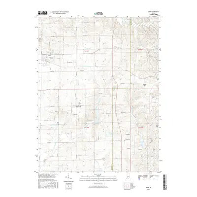
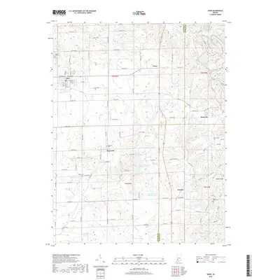
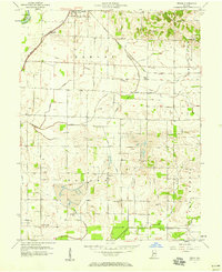 1957 Epsom1958 Print · USGSDaviess County was undergoing an industrial transition in the late fifties as coal mining and oil production moved into its rural townships. Genealogists and historians can trace family locations through Epsom, Cornettsville, and remote sites like Ochiltree Cem or Bethel Ch.
 - 1958 Map of Vincennes
 1958 Vincennes1958 Print · USGSSouthern Indiana and the Illinois borderlands are captured during a mid-century period of heavy rail traffic and military activity. Researchers can trace the sprawling bounds of the Crane Naval Ammunition Depot or locate historic settlements like New Harmony and French Lick.2 unique versions available
 - 1974 Map of Odon, 1976 Print
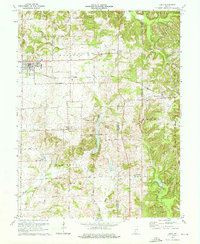 1974 Odon1976 Print · USGSDaviess and Martin counties are captured here in the mid-seventies, showing a rural landscape defined by small farming hamlets and the Chicago Milwaukee St Paul and Pacific line. Researchers can trace family roots through several country sites like Walnut Hill Cem, Shiloh Ch, and the settlement of Raglesville.2 unique versions available
 - 1978 Map of Epsom, 1979 Print
 1978 Epsom1979 Print · USGSDaviess County in the late seventies is a landscape of active coal mining and intersectional rail lines. Researchers can trace family history through numerous rural burial sites like Tolberts Chapel Cem and Fairview Cem or locate the old North Bogard Sch.2 unique versions available
 - 1986 Map of Bedford
 1986 Bedford1986 Print · USGSSouthern Indiana in the mid-eighties remains a landscape of deep forests, limestone quarries, and vital rail junctions. Genealogists and historians can trace the rural networks connecting French Lick, the Crane Naval Weapons Support Center, and the historic Becks Mill.
 - 1986 Map of Vincennes
 1986 Vincennes1986 Print · USGSThe Wabash River valley in the mid-1980s shows a landscape defined by deep-rooted river towns and heavy industry. Researchers can trace the legacy of regional rail lines like the Conrail system or locate landmarks such as Vincennes University and St Francisville Church.2 unique versions available
 - 1990 Map of Bedford, 1991 Print
 1990 Bedford1991 Print · USGSSouthern Indiana in the early nineties reveals a complex landscape of military reservations, resort towns, and heavy industry. Genealogists and historians can trace family sites like Old Union Cem and Trinity Springs or locate the limestone quarries surrounding Oolitic.
 - 2010 Map of Epsom, 2010 Print
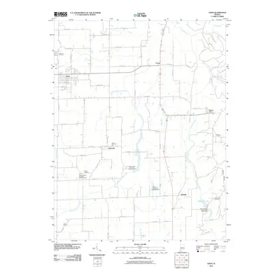
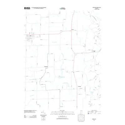
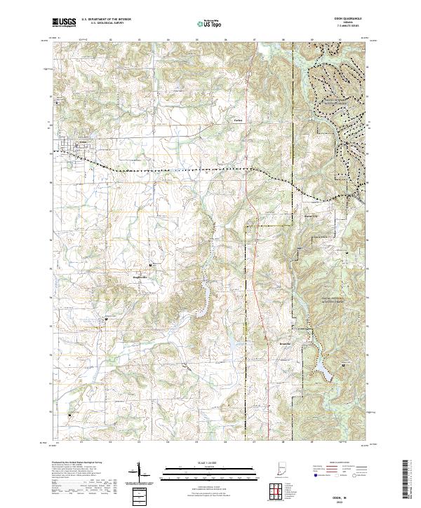
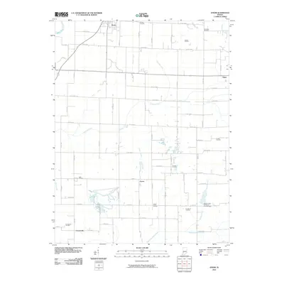 2010 Epsom2010 Print · USGSCovers Odon, including Elnora, Epsom, and other nearby areas
 - 2010 Map of Odon, 2010 Print
 2010 Odon2010 Print · USGSCovers Odon, including Bramble, Raglesville, and other nearby areas
 - 2013 Map of Odon, 2013 Print
 2013 Odon2013 Print · USGSCovers Odon, including Bramble, Raglesville, and other nearby areas
 - 2013 Map of Epsom, 2013 Print
 2013 Epsom2013 Print · USGSCovers Odon, including Elnora, Epsom, and other nearby areas
 - 2016 Map of Epsom, 2016 Print
 2016 Epsom2016 Print · USGSCovers Odon, including Elnora, Epsom, and other nearby areas
 - 2016 Map of Odon, 2016 Print
 2016 Odon2016 Print · USGSCovers Odon, including Bramble, Raglesville, and other nearby areas
 - 2019 Map of Odon, 2019 Print
 2019 Odon2019 Print · USGSCovers Odon, including Bramble, Raglesville, and other nearby areas
 - 2019 Map of Epsom, 2019 Print
 2019 Epsom2019 Print · USGSCovers Odon, including Elnora, Epsom, and other nearby areas
 - 2022 Map of Odon, 2022 Print
 2022 Odon2022 Print · USGSDaviess and Martin Counties are shown in the early 2020s, documenting a landscape defined by traditional farming and rural hamlets. Genealogists and local historians can trace family roots through sites like Raglesville Cem, Kilgore Cem, and the small settlement of Bramble.
 - 2022 Map of Epsom, 2022 Print
 2022 Epsom2022 Print · USGSDaviess County farmland in the early 2020s is shaped by a complex system of drainage ditches and rural settlements. Researchers can locate many local burial sites, including Talbotts Chapel Cem and Cornettsville Cem, along with the crossroads of Epsom.
End of results
Showing maps 1-21 of 21
Top cities near Odon
- Washington historical maps
- Linton historical maps
- Loogootee historical maps
- Bloomfield historical maps
- Shoals historical maps
- Lyons historical maps
See more
Frequently asked questions
- What are the different types of historical maps available for Odon?
- What is the oldest map of Odon?
- Where can I purchase historical maps of Odon for my home or office?
- Where can I download high-res historical maps of Odon?
- Are there historical topographic maps available for Odon?
- Is there historical aerial imagery available for Odon?
- Where are historical maps of Odon sourced from?