
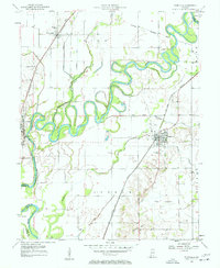
1943 Map of Epsom
USGS Topo · Published 1943About this map
Elnora and Epsom anchor a landscape defined by organized drainage and early twentieth-century rail lines in Daviess County. The area is heavily marked by an extensive network of man-made waterways like Epsom Ditch, Tract Ditch, and Hays Ditch, which redirect water toward the White River and Smothers Creek. This systematic engineering reflects the transition of this territory into productive farmland, a process supported by the dual presence of the New York Central and Chicago Milwaukee St Paul and Pacific railroads.
Find a feature on this map
30 named features on this map. Tap any name to fly to it.
Don’t see what you’re looking for? This feature index may not catch every label — zoom into the map to look around manually.
Map Details
Editions of this 1943 Epsom Map
2 editions found

Other maps of this area

1943 · Lyons
USGS Topo · 1:24,000

1943 · Sandborn
USGS Topo · 1:24,000

1943 · Plainville
USGS Topo · 1:24,000

1944 · Montgomery
USGS Topo · 1:24,000

1944 · Washington
USGS Topo · 1:24,000

1950 · Odon
USGS Topo · 1:24,000

1956 · Loogootee
USGS Topo · 1:24,000

1956 · Vincennes
USGS Topo · 1:250,000

1957 · Vincennes
USGS Topo · 1:250,000
1957 · Plainville
USGS Topo · 1:24,000