Old Maps of Washington, Indiana for Hiking & Exploration
Hike through history with 19 historic maps of Washington. Explore old trails, ghost towns, and forgotten backroads — perfect for outdoor adventurers and local explorers.
- Rediscover forgotten places: Map out old mining camps, roads, and footpaths that no longer exist on modern maps.
- Layer with modern tools: Combine with LiDAR or satellite views to plan hikes through historical terrain.
- Made for exploration: Popular among hikers, overlanders, and local history lovers.
Use these maps to find adventure and explore the hidden past of Washington.
Washington, IN maps
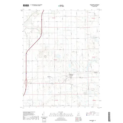
(19)- 1944 Map of Montgomery
 1944 Montgomery1944 Print · USGSDaviess County during the mid-1940s reveals a landscape defined by small-town life and the busy Baltimore and Ohio rail line. Researchers can locate family landmarks like St Peters Cem, Black Oak, and numerous rural schools including Ryan Sch.2 unique versions available
 - 1944 Map of Washington
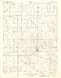
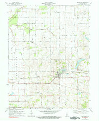
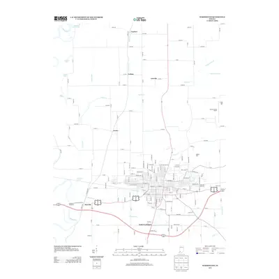
 1944 Washington1944 Print · USGSMid-century Washington and its neighboring Daviess County settlements are shown at their industrial peak as a central railroad crossroads. Genealogists and researchers can trace local families through many rural landmarks, including Hyatt Capehart P.O., St Johns Cem, and the Sugarland Sch.2 unique versions available
 - 1956 Map of Vincennes, 1967 Print
 1956 Vincennes1967 Print · USGSSouthern Indiana and the Illinois borderlands are captured here in the mid-fifties, showing the region's dense network of river towns and rail lines. Researchers can trace historic river crossings along the Wabash River or locate landmarks like Wyandotte Cave and Lincoln State Park.4 unique versions available
 - 1957 Map of Vincennes
 1957 Vincennes1957 Print · USGSSouthwest Indiana and the Illinois borderlands come alive in the late 1950s, a period of heavy rail traffic and expanding state forests. Genealogists and historians can trace the riverfronts and rail lines of Vincennes, New Harmony, and the vast Crane Naval Ammunition Depot.
 - 1957 Map of Montgomery, 1958 Print
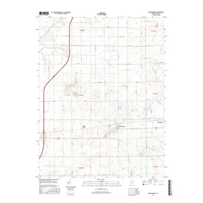
 1957 Montgomery1958 Print · USGSDaviess County during the late 1950s shows a landscape of small railway towns and scattered oil extraction sites. Genealogists can locate family landmarks like Stoll Cem, Antioch Ch, and the rural Parsons Sch along the Baltimore and Ohio line.
 - 1957 Map of Washington, 1958 Print
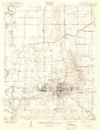
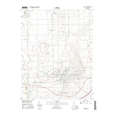
 1957 Washington1958 Print · USGSDaviess County's rail and river economy is on full display during the late 1950s, centered on the bustling hub of WASHINGTON. Researchers can trace old family sites and civic roots at St Johns Cem, Sugarland Ch, and the BALTIMORE AND OHIO RAILROAD corridor.4 unique versions available
 - 1958 Map of Vincennes
 1958 Vincennes1958 Print · USGSSouthern Indiana and the Illinois borderlands are captured during a mid-century period of heavy rail traffic and military activity. Researchers can trace the sprawling bounds of the Crane Naval Ammunition Depot or locate historic settlements like New Harmony and French Lick.2 unique versions available
 - 1979 Map of Montgomery
 1979 Montgomery1979 Print · USGSDaviess County farmland and small-town life are captured in the late seventies along the busy Baltimore and Ohio railroad. Genealogists can trace local roots through rural landmarks like St Peters Cem, Berea Ch, and the Pleasant View Sch.
 - 1986 Map of Vincennes
 1986 Vincennes1986 Print · USGSThe Wabash River valley in the mid-1980s shows a landscape defined by deep-rooted river towns and heavy industry. Researchers can trace the legacy of regional rail lines like the Conrail system or locate landmarks such as Vincennes University and St Francisville Church.2 unique versions available
 - 2010 Map of Washington, 2010 Print
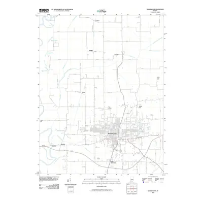 2010 Washington2010 Print · USGSCovers Washington, including Lettsville, Jordan, and other nearby areas
 - 2010 Map of Montgomery, 2010 Print
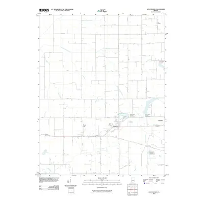 2010 Montgomery2010 Print · USGSCovers Washington, including Montgomery, Cannelburg, and other nearby areas
 - 2013 Map of Montgomery, 2013 Print
 2013 Montgomery2013 Print · USGSCovers Washington, including Montgomery, Cannelburg, and other nearby areas
 - 2013 Map of Washington, 2013 Print
 2013 Washington2013 Print · USGSCovers Washington, including Lettsville, Jordan, and other nearby areas
 - 2016 Map of Montgomery, 2016 Print
 2016 Montgomery2016 Print · USGSCovers Washington, including Montgomery, Cannelburg, and other nearby areas
 - 2016 Map of Washington, 2016 Print
 2016 Washington2016 Print · USGSCovers Washington, including Lettsville, Jordan, and other nearby areas
 - 2019 Map of Washington, 2019 Print
 2019 Washington2019 Print · USGSCovers Washington, including Lettsville, Jordan, and other nearby areas
 - 2019 Map of Montgomery, 2019 Print
 2019 Montgomery2019 Print · USGSCovers Washington, including Montgomery, Cannelburg, and other nearby areas
 - 2022 Map of Montgomery, 2022 Print
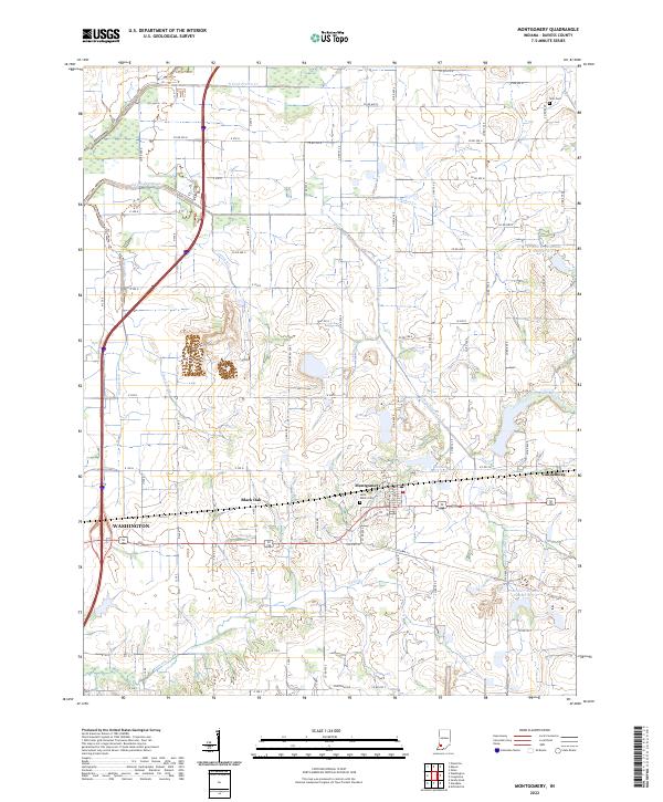 2022 Montgomery2022 Print · USGSDaviess County farmland and small-town centers appear in detail in this contemporary survey of southwestern Indiana. Genealogists and local historians can trace family sites at Saint Peters Cem or explore the settlements of Montgomery and Cannelburg.
 - 2022 Map of Washington, 2022 Print
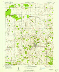
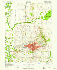
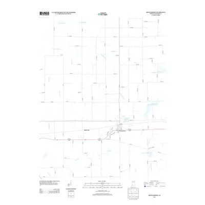
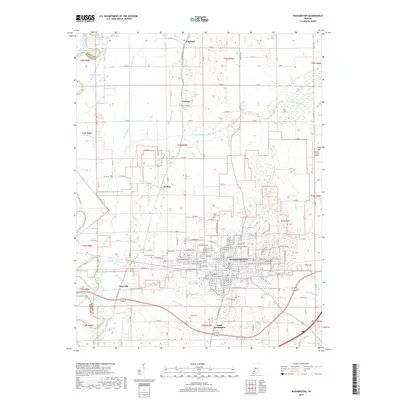
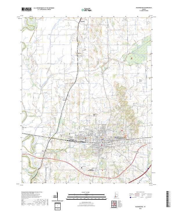 2022 Washington2022 Print · USGSDaviess County during the early twenty-first century reveals a landscape defined by the intersection of the Washington city grid and the White River basin. Researchers can trace family history at Hawkins Cem or Colbert Cem and locate rural landmarks like Sefert Hill.
End of results
Showing maps 1-19 of 19
Top cities near Washington
- Jasper historical maps
- Bicknell historical maps
- Petersburg historical maps
- Odon historical maps
- Elnora historical maps
- Monroe City historical maps
See more
Frequently asked questions
- What are the different types of historical maps available for Washington?
- What is the oldest map of Washington?
- Where can I purchase historical maps of Washington for my home or office?
- Where can I download high-res historical maps of Washington?
- Are there historical topographic maps available for Washington?
- Is there historical aerial imagery available for Washington?
- Where are historical maps of Washington sourced from?