Old Maps of Clay Township, Indiana for Hiking & Exploration
Hike through history with 29 historic maps of Clay Township. Explore old trails, ghost towns, and forgotten backroads — perfect for outdoor adventurers and local explorers.
- Rediscover forgotten places: Map out old mining camps, roads, and footpaths that no longer exist on modern maps.
- Layer with modern tools: Combine with LiDAR or satellite views to plan hikes through historical terrain.
- Made for exploration: Popular among hikers, overlanders, and local history lovers.
Use these maps to find adventure and explore the hidden past of Clay Township.
Clay Township, IN maps
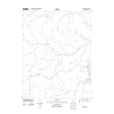
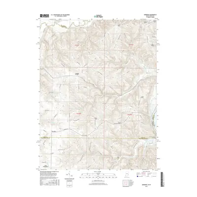
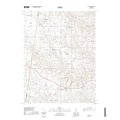
(29)- 1943 Map of Aberdeen
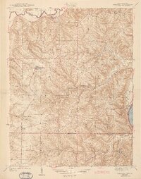 1943 Aberdeen1943 Print · USGSSoutheastern Indiana's river hills are captured here just before mid-century, showing a landscape of ridge-top farms and creek-side settlements. Researchers can locate family landmarks like Gillespie Cem, Bascom Corner, and several schools including Fisher Sch.2 unique versions available
 - 1953 Map of Aberdeen, 1955 Print
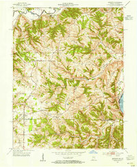 1953 Aberdeen1955 Print · USGSSoutheastern Indiana's rural character is preserved here in the early fifties, showing the upland ridges above the OHIO RIVER. Genealogists and historians can trace family locations near Aberdeen, Bovard Cem, and the Cass-Union Sch along the county lines.2 unique versions available
 - 1953 Map of Cincinnati, 1965 Print
 1953 Cincinnati1965 Print · USGSThe Ohio River valley and the industrial heartland of Indiana and Ohio are captured here during the mid-century peak of rail and river commerce. Genealogists and historians can trace connections between Cincinnati and outlying military sites like Camp Atterbury and Bakalar AFB.3 unique versions available
 - 1956 Map of Louisville, 1971 Print
 1956 Louisville1971 Print · USGSThe Ohio River valley and the Kentucky Bluegrass are captured here during a period of rapid mid-century growth and industrial activity. Genealogists and historians can trace rail-centered towns and military land use at Fort Knox and the Jefferson Proving Ground.2 unique versions available
 - 1957 Map of Cincinnati
 1957 Cincinnati1957 Print · USGSThe Ohio River valley and its surrounding highlands thrived during the mid-fifties industrial peak, centered on the bustling Cincinnati and Dayton metropolitan hubs. Researchers can trace the extensive rail networks and military sites like Wright-Patterson AFB and Camp Atterbury.
 - 1958 Map of Dillsboro, 1960 Print
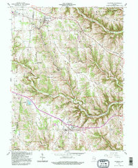
 1958 Dillsboro1960 Print · USGSSoutheast Indiana's ridge-and-hollow terrain is meticulously detailed here in the late fifties, showing the interplay between small-town life and the rail corridor. Trace family histories at South Sparta Ch or Forest Hill Cem, and follow the line of the Baltimore and Ohio RR.3 unique versions available
 - 1959 Map of Bear Branch, 1960 Print
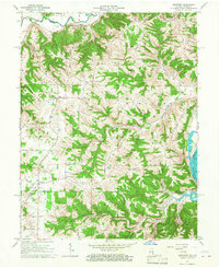
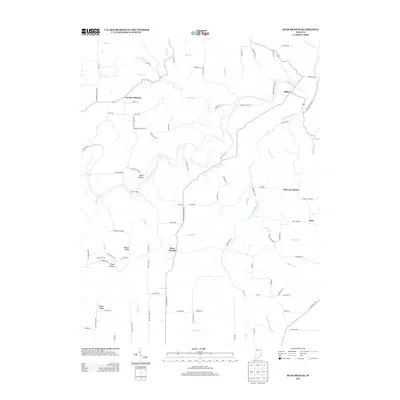
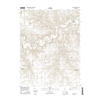
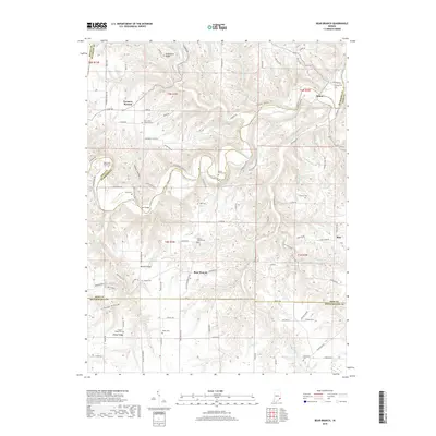
 1959 Bear Branch1960 Print · USGSSoutheastern Indiana's rural townships are captured in the late fifties as a network of creek-side settlements and ridge-top farms. Genealogists and historians can trace dozens of family landmarks like Mt Hebron Cem, the Freedom Sch, and the winding path of Laughery Creek.3 unique versions available
 - 1964 Map of Louisville
 1964 Louisville1964 Print · USGSThe Ohio River valley and Kentucky Bluegrass are captured in the mid-1960s, showing a region balanced between industrial growth and its agrarian roots. Genealogists and historians can trace the development of county seats like Shelbyville and Paris, or locate established institutions such as Georgetown College and Bernheim Forest.
 - 1965 Map of Aberdeen, 1967 Print
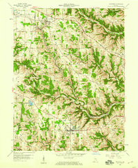
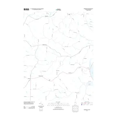
 1965 Aberdeen1967 Print · USGSThe hills of Ohio and Switzerland counties are captured here in the mid-1960s, showing a landscape of high ridges and narrow creek bottoms. Genealogists can trace family landmarks and local centers like Aberdeen, Salem Ch, and the Grant Brothers Cem.3 unique versions available
 - 1986 Map of Greensburg
 1986 Greensburg1986 Print · USGSSoutheastern Indiana in the mid-eighties shows a balance of growing industrial centers and deeply rooted rural communities. Family historians can trace landmarks like the Highland Center School, South Park Cemetery, and the Bartholomew County Courthouse among the river forks.2 unique versions available
 - 1986 Map of Madison
 1986 Madison1986 Print · USGSSouthern Indiana and Northern Kentucky are shown here in the mid-eighties, centered on the river corridor and the sprawling Jefferson Proving Ground. Genealogists and historians can trace rail lines like the Seaboard System and locate river towns from Madison to Bethlehem.
 - 1986 Map of Falmouth
 1986 Falmouth1986 Print · USGSNorthern Kentucky and the Ohio River valley are shown here in the mid-1980s, highlighting the region's complex river-and-rail geography. Genealogists and researchers can trace the roads connecting Big Bone Lick, Zion Church, and river towns like Falmouth and Augusta.2 unique versions available
 - 1990 Map of Madison, 1991 Print
 1990 Madison1991 Print · USGSThe Ohio River valley and the southern Indiana plains are documented here in the final decade of the twentieth century. Genealogists and historians can trace family-named crossroads and established rail towns like Dudleytown, Austin, and Crothersville along the P C RR line.
 - 1992 Map of Dillsboro, 1995 Print
 1992 Dillsboro1995 Print · USGSSoutheast Indiana's ridge-and-hollow country is captured here during the late twentieth century as it appeared before major modern development. Genealogists can locate numerous burial sites including Forest Hill Cem and Oakdale Cem, while historians can trace the path of the B & O rail line.
 - 2010 Map of Bear Branch, 2010 Print
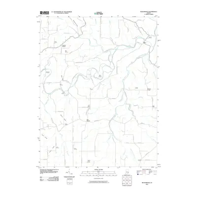 2010 Bear Branch2010 Print · USGSCovers Clay Township, including Farmers Retreat, Bear Branch, and other nearby areas
 - 2010 Map of Dillsboro, 2010 Print
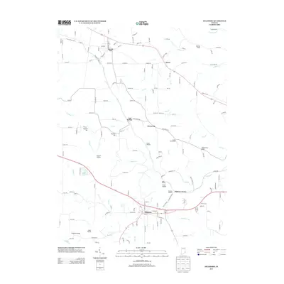
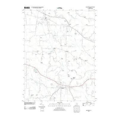 2010 Dillsboro2010 Print · USGSCovers Clay Township, including Sparta, Milan, and other nearby areas
 - 2011 Map of Aberdeen, 2011 Print
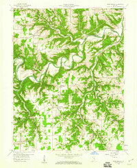
 2011 Aberdeen2011 Print · USGSCovers Clay Township, including Cofield Corner, Hartford, and other nearby areas
 - 2013 Map of Dillsboro, 2013 Print
 2013 Dillsboro2013 Print · USGSCovers Clay Township, including Sparta, Milan, and other nearby areas
 - 2013 Map of Bear Branch, 2013 Print
 2013 Bear Branch2013 Print · USGSCovers Clay Township, including Farmers Retreat, Bear Branch, and other nearby areas
 - 2013 Map of Aberdeen, 2013 Print
 2013 Aberdeen2013 Print · USGSCovers Clay Township, including Cofield Corner, Hartford, and other nearby areas
 - 2016 Map of Bear Branch, 2016 Print
 2016 Bear Branch2016 Print · USGSCovers Clay Township, including Farmers Retreat, Bear Branch, and other nearby areas
 - 2016 Map of Aberdeen, 2016 Print
 2016 Aberdeen2016 Print · USGSCovers Clay Township, including Cofield Corner, Hartford, and other nearby areas
 - 2016 Map of Dillsboro, 2016 Print
 2016 Dillsboro2016 Print · USGSCovers Clay Township, including Sparta, Milan, and other nearby areas
 - 2019 Map of Bear Branch, 2019 Print
 2019 Bear Branch2019 Print · USGSCovers Clay Township, including Farmers Retreat, Bear Branch, and other nearby areas
 - 2019 Map of Dillsboro, 2019 Print
 2019 Dillsboro2019 Print · USGSCovers Clay Township, including Sparta, Milan, and other nearby areas
Showing maps 1-25 of 29
Top cities near Clay Township
- Lawrenceburg historical maps
- Greendale historical maps
- Aurora historical maps
- Sparta historical maps
- Rising Sun historical maps
- Versailles historical maps
See more
Top neighborhoods of Clay Township
Frequently asked questions
- What are the different types of historical maps available for Clay Township?
- What is the oldest map of Clay Township?
- Where can I purchase historical maps of Clay Township for my home or office?
- Where can I download high-res historical maps of Clay Township?
- Are there historical topographic maps available for Clay Township?
- Is there historical aerial imagery available for Clay Township?
- Where are historical maps of Clay Township sourced from?