Old Maps of Washington Township, Indiana for Academic Research
Study the evolution of Washington Township with 42 high-resolution historic maps. Whether you're teaching, researching, or modeling changes in land use, these maps provide essential visual documentation of urban, environmental, and geographic change.
- Analyze long-term change: Track patterns in development, transportation, and natural features.
- Ideal for environmental or urban studies: Support academic projects with primary historical map data.
- Use in the classroom or lab: Educators and researchers rely on these maps to bring historical context to life.
These maps are a powerful tool for teaching, research, and visualizing how Washington Township has changed over the decades.
Washington Township, IN maps
(42)- 1915 Map of Lawrenceburg
 1915 Lawrenceburg1915 Print · USGSThe tri-state river junction between Indiana, Ohio, and Kentucky is captured just before the first World War during a peak era of rail expansion. Researchers can trace the legacy of local transit through Simmonson Station, the Suspension Bridge, and the tracks of the Electric line.
 - 1928 Map of Lawrenceburg, 1962 Print
 1928 Lawrenceburg1962 Print · USGSThe tri-state river valley at the end of the Roaring Twenties shows a landscape shaped by the Ohio River and bustling rail junctions. Researchers can trace historic ferries like the Lawrenceburg Ferry and find family-named landmarks like Commissary Corner or the Bullittsburg Ch.
 - 1932 Map of Lawrenceburg
 1932 Lawrenceburg1932 Print · USGSThe tri-state confluence of Indiana, Ohio, and Kentucky comes alive in this early 1930s survey of the river valleys. Genealogists can trace family roots through rural landmarks like Eighteenmile House, Bullittsville Ch, and the Woolper Sch.3 unique versions available
 - 1943 Map of Aberdeen
 1943 Aberdeen1943 Print · USGSSoutheastern Indiana's river hills are captured here just before mid-century, showing a landscape of ridge-top farms and creek-side settlements. Researchers can locate family landmarks like Gillespie Cem, Bascom Corner, and several schools including Fisher Sch.2 unique versions available
 - 1943 Map of Aurora
 1943 Aurora1943 Print · USGSDearborn County as it appeared in the early 1940s shows a landscape where river commerce and rail lines defined the growth of Aurora. Genealogists and local historians can trace rural schoolhouses like Worley Sch, country churches such as Mt Tabor Ch, and the original Baltimore and Ohio rail route.2 unique versions available
 - 1953 Map of Aberdeen, 1955 Print
 1953 Aberdeen1955 Print · USGSSoutheastern Indiana's rural character is preserved here in the early fifties, showing the upland ridges above the OHIO RIVER. Genealogists and historians can trace family locations near Aberdeen, Bovard Cem, and the Cass-Union Sch along the county lines.2 unique versions available
 - 1953 Map of Aurora, 1955 Print
 1953 Aurora1955 Print · USGSThe Ohio River valley near Aurora was a bustling corridor of rail and river commerce in the early 1950s. Genealogists and local historians can locate early landmarks such as the Riverview Cemetery and trace the paths of the Baltimore and Ohio railroad through Wilmington.2 unique versions available
 - 1953 Map of Cincinnati, 1965 Print
 1953 Cincinnati1965 Print · USGSThe Ohio River valley and the industrial heartland of Indiana and Ohio are captured here during the mid-century peak of rail and river commerce. Genealogists and historians can trace connections between Cincinnati and outlying military sites like Camp Atterbury and Bakalar AFB.3 unique versions available
 - 1956 Map of Louisville, 1971 Print
 1956 Louisville1971 Print · USGSThe Ohio River valley and the Kentucky Bluegrass are captured here during a period of rapid mid-century growth and industrial activity. Genealogists and historians can trace rail-centered towns and military land use at Fort Knox and the Jefferson Proving Ground.2 unique versions available
 - 1957 Map of Cincinnati
 1957 Cincinnati1957 Print · USGSThe Ohio River valley and its surrounding highlands thrived during the mid-fifties industrial peak, centered on the bustling Cincinnati and Dayton metropolitan hubs. Researchers can trace the extensive rail networks and military sites like Wright-Patterson AFB and Camp Atterbury.
 - 1958 Map of Dillsboro, 1960 Print
 1958 Dillsboro1960 Print · USGSSoutheast Indiana's ridge-and-hollow terrain is meticulously detailed here in the late fifties, showing the interplay between small-town life and the rail corridor. Trace family histories at South Sparta Ch or Forest Hill Cem, and follow the line of the Baltimore and Ohio RR.3 unique versions available
 - 1959 Map of Bear Branch, 1960 Print
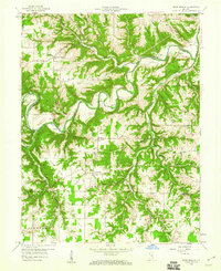 1959 Bear Branch1960 Print · USGSSoutheastern Indiana's rural townships are captured in the late fifties as a network of creek-side settlements and ridge-top farms. Genealogists and historians can trace dozens of family landmarks like Mt Hebron Cem, the Freedom Sch, and the winding path of Laughery Creek.3 unique versions available
 - 1964 Map of Louisville
 1964 Louisville1964 Print · USGSThe Ohio River valley and Kentucky Bluegrass are captured in the mid-1960s, showing a region balanced between industrial growth and its agrarian roots. Genealogists and historians can trace the development of county seats like Shelbyville and Paris, or locate established institutions such as Georgetown College and Bernheim Forest.
 - 1965 Map of Aberdeen, 1967 Print
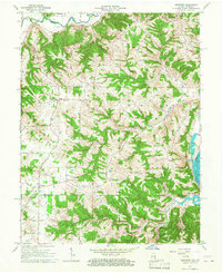 1965 Aberdeen1967 Print · USGSThe hills of Ohio and Switzerland counties are captured here in the mid-1960s, showing a landscape of high ridges and narrow creek bottoms. Genealogists can trace family landmarks and local centers like Aberdeen, Salem Ch, and the Grant Brothers Cem.3 unique versions available
 - 1966 Map of Aurora, 1967 Print
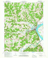 1966 Aurora1967 Print · USGSThe Ohio River valley and the busy Baltimore and Ohio rail line dominate the Dearborn County landscape during the mid-sixties. Genealogists and local historians can locate the old community of Wilmington, the industrial docks at Aurora, and historic sites like Mt Sinai Ch.
 - 1981 Map of Aurora, 1982 Print
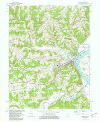 1981 Aurora1982 Print · USGSThe Indiana-Kentucky borderlands come alive in this early 1980s survey of the riverfront corridor between Aurora and Lawrenceburg. Researchers can trace the path of the Baltimore and Ohio Railroad and locate rural landmarks like Mt Tabor Ch and Kirschs Corner.2 unique versions available
 - 1986 Map of Cincinnati
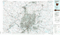 1986 Cincinnati1986 Print · USGSGreater Cincinnati and its tri-state surrounds are captured here in the mid-eighties as suburban growth reached into the neighboring hills and river valleys. Researchers can trace the development of transit hubs like Greater Cincinnati International Airport and historic sites such as Spring Grove Cemetery.3 unique versions available
 - 1986 Map of Greensburg
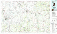 1986 Greensburg1986 Print · USGSSoutheastern Indiana in the mid-eighties shows a balance of growing industrial centers and deeply rooted rural communities. Family historians can trace landmarks like the Highland Center School, South Park Cemetery, and the Bartholomew County Courthouse among the river forks.2 unique versions available
 - 1986 Map of Madison
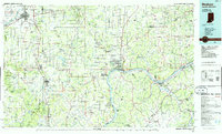 1986 Madison1986 Print · USGSSouthern Indiana and Northern Kentucky are shown here in the mid-eighties, centered on the river corridor and the sprawling Jefferson Proving Ground. Genealogists and historians can trace rail lines like the Seaboard System and locate river towns from Madison to Bethlehem.
 - 1986 Map of Falmouth
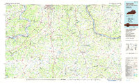 1986 Falmouth1986 Print · USGSNorthern Kentucky and the Ohio River valley are shown here in the mid-1980s, highlighting the region's complex river-and-rail geography. Genealogists and researchers can trace the roads connecting Big Bone Lick, Zion Church, and river towns like Falmouth and Augusta.2 unique versions available
 - 1990 Map of Madison, 1991 Print
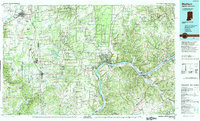 1990 Madison1991 Print · USGSThe Ohio River valley and the southern Indiana plains are documented here in the final decade of the twentieth century. Genealogists and historians can trace family-named crossroads and established rail towns like Dudleytown, Austin, and Crothersville along the P C RR line.
 - 1992 Map of Dillsboro, 1995 Print
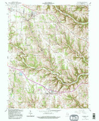 1992 Dillsboro1995 Print · USGSSoutheast Indiana's ridge-and-hollow country is captured here during the late twentieth century as it appeared before major modern development. Genealogists can locate numerous burial sites including Forest Hill Cem and Oakdale Cem, while historians can trace the path of the B & O rail line.
 - 2010 Map of Aurora, 2010 Print
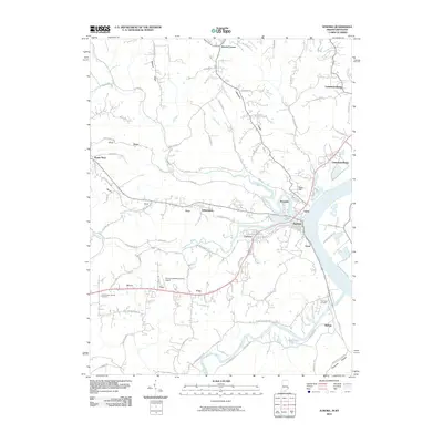 2010 Aurora2010 Print · USGSThe Indiana river towns of Aurora and Lawrenceburg are shown in detail during the early twenty-first century along the winding Ohio River. Researchers can locate local landmarks like Mount Tabor Church Cemetery, the Aurora Casket Company Airport, and the community at Kirschs Corner.
 - 2010 Map of Bear Branch, 2010 Print
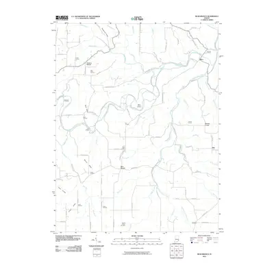 2010 Bear Branch2010 Print · USGSSoutheastern Indiana's agricultural plateaus and deep hollows are captured here as they appeared in the early 21st century. Genealogists can trace family roots through numerous local burial sites, including Saint Johns Cemetery, Conaway Cemetery, and the Bear Creek Cemeteries.
 - 2010 Map of Dillsboro, 2010 Print
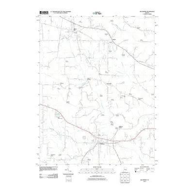 2010 Dillsboro2010 Print · USGSSoutheastern Indiana's rural landscape is captured here during a period of modern stability, showing the enduring layout of township roads and family lands. Genealogists can trace decades of history across numerous sites like Forest Hill Cemetery, Oakdale Cemetery, and Lake Dilldear.
Showing maps 1-25 of 42
Top cities near Washington Township
- Burlington historical maps
- Harrison historical maps
- Lawrenceburg historical maps
- Greendale historical maps
- Aurora historical maps
- Cleves historical maps
See more
Frequently asked questions
- What are the different types of historical maps available for Washington Township?
- What is the oldest map of Washington Township?
- Where can I purchase historical maps of Washington Township for my home or office?
- Where can I download high-res historical maps of Washington Township?
- Are there historical topographic maps available for Washington Township?
- Is there historical aerial imagery available for Washington Township?
- Where are historical maps of Washington Township sourced from?