1900s (20th Century) Maps of Oak Forest, Indiana
Explore 5 historic maps of Oak Forest from the 1900s (20th Century). These maps offer a rare glimpse into what life looked like during the 1900s — showing old roads, neighborhoods, homes, and landmarks that have changed or disappeared over time.
Whether you're researching your family's past, planning a metal detecting trip, or studying how Oak Forest's landscape evolved across the 1900s, these high-resolution maps are a powerful tool for exploring the history of this region.
- Focus on a specific era: All maps on this page are from the 1900s, giving you a focused view of this time period.
- See what’s changed: Compare century-old streets, trails, and buildings to today's modern landscape using overlays and satellite layers.
- Research with precision: Use these maps for genealogy, historical research, land use analysis, or educational projects.
- View, download, or print: Maps are fully viewable online in high resolution, and can be downloaded or printed for your own records.
Start exploring Oak Forest's history through authentic maps from the 1900s. This is your window into the past.
Oak Forest, IN maps
(5)- 1953 Map of Cincinnati, 1965 Print
 1953 Cincinnati1965 Print · USGSThe Ohio River valley and the industrial heartland of Indiana and Ohio are captured here during the mid-century peak of rail and river commerce. Genealogists and historians can trace connections between Cincinnati and outlying military sites like Camp Atterbury and Bakalar AFB.3 unique versions available
 - 1956 Map of Brookville, 1957 Print
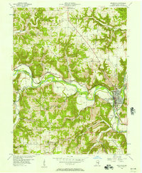 1956 Brookville1957 Print · USGSFranklin County in the mid-1950s was a landscape defined by the convergence of the Whitewater forks and the legacy of the canal era. Researchers can trace historic family burial sites at Maple Grove Cemetery and St Michaels Cem, or locate landmarks like the Whitewater Canal Memorial Lock and Covered Bridge.
 - 1957 Map of Cincinnati
 1957 Cincinnati1957 Print · USGSThe Ohio River valley and its surrounding highlands thrived during the mid-fifties industrial peak, centered on the bustling Cincinnati and Dayton metropolitan hubs. Researchers can trace the extensive rail networks and military sites like Wright-Patterson AFB and Camp Atterbury.
 - 1972 Map of Brookville, 1973 Print
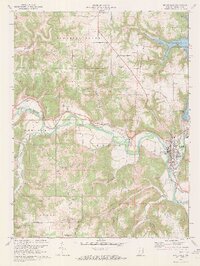 1972 Brookville1973 Print · USGSBrookville and the Whitewater River valley are captured in the early seventies, showing a landscape shaped by both historic canals and modern reservoirs. Researchers can trace family sites at St Michaels Ch and Maple Grove Cem or locate the Whitewater Canal Memorial Lock.3 unique versions available
 - 1986 Map of Greensburg
 1986 Greensburg1986 Print · USGSSoutheastern Indiana in the mid-eighties shows a balance of growing industrial centers and deeply rooted rural communities. Family historians can trace landmarks like the Highland Center School, South Park Cemetery, and the Bartholomew County Courthouse among the river forks.2 unique versions available
End of results
Showing maps 1-5 of 5
Top cities near Oak Forest
- Batesville historical maps
- Logan historical maps
- Brookville historical maps
- Blooming Grove historical maps
- Columbia historical maps
- Sunman historical maps
See more
Frequently asked questions
- What are the different types of historical maps available for Oak Forest?
- What is the oldest map of Oak Forest?
- Where can I purchase historical maps of Oak Forest for my home or office?
- Where can I download high-res historical maps of Oak Forest?
- Are there historical topographic maps available for Oak Forest?
- Is there historical aerial imagery available for Oak Forest?
- Where are historical maps of Oak Forest sourced from?