2020s Maps of Fort Branch, Indiana
Explore 2 historic maps of Fort Branch from the 2020s. These maps offer a rare glimpse into what life looked like during the 2020s — showing old roads, neighborhoods, homes, and landmarks that have changed or disappeared over time.
Whether you're researching your family's past, planning a metal detecting trip, or studying how Fort Branch's landscape evolved across the 2020s, these high-resolution maps are a powerful tool for exploring the history of this region.
- Focus on a specific era: All maps on this page are from the 2020s, giving you a focused view of this time period.
- See what’s changed: Compare century-old streets, trails, and buildings to today's modern landscape using overlays and satellite layers.
- Research with precision: Use these maps for genealogy, historical research, land use analysis, or educational projects.
- View, download, or print: Maps are fully viewable online in high resolution, and can be downloaded or printed for your own records.
Start exploring Fort Branch's history through authentic maps from the 2020s. This is your window into the past.
Fort Branch, IN maps
(2)- 2022 Map of Princeton, 2022 Print
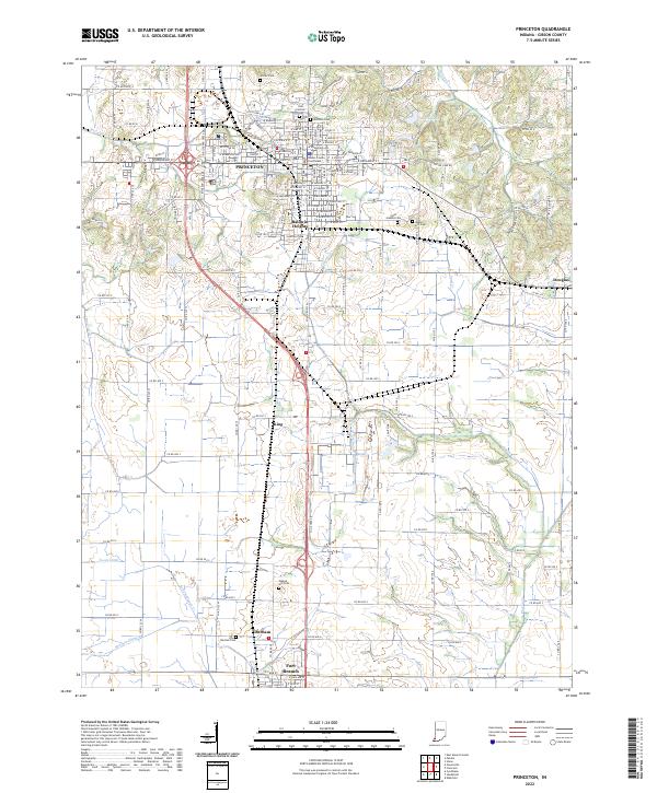 2022 Princeton2022 Print · USGSGibson County at the start of the 2020s shows a landscape of established towns and rural farmsteads tied together by historic drainages. Genealogists can locate family sites at Walnut Hill Cem or Odd Fellows Cem and trace the civic center around the Gibson County Courthouse.
 - 2022 Map of Haubstadt, 2022 Print
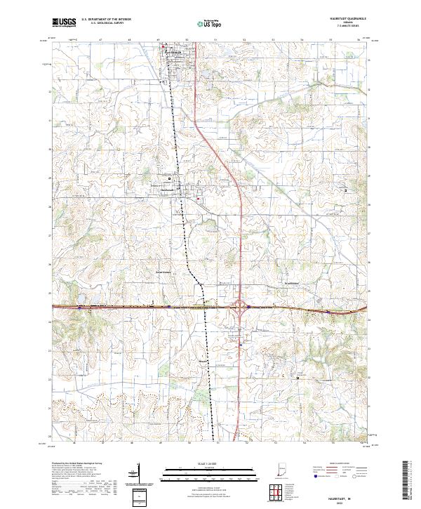 2022 Haubstadt2022 Print · USGSGibson and Vanderburgh counties are shown in this modern survey of southwestern Indiana's farming heartland. Genealogists can locate legacy sites like Saints Peter and Paul Cem and Trinity Parish Cem near the historic CSX rail line.
End of results
Showing maps 1-2 of 2
Top cities near Fort Branch
- Evansville historical maps
- Princeton historical maps
- Mount Carmel historical maps
- Johnson historical maps
- Chandler historical maps
- Oakland City historical maps
See more
Frequently asked questions
- What are the different types of historical maps available for Fort Branch?
- What is the oldest map of Fort Branch?
- Where can I purchase historical maps of Fort Branch for my home or office?
- Where can I download high-res historical maps of Fort Branch?
- Are there historical topographic maps available for Fort Branch?
- Is there historical aerial imagery available for Fort Branch?
- Where are historical maps of Fort Branch sourced from?