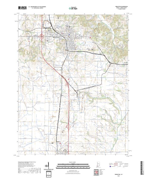
2022 Map of Princeton
USGS Topo · Published 2022About this map
Gibson County Courthouse serves as a central anchor for this part of Southwestern Indiana, where the structured grid of Princeton meets the agricultural expanse of the Wabash Valley. The landscape is defined by its deep roots in local history, evidenced by the numerous burial grounds scattered across the terrain, from Odd Fellows Cem and Archer Cem in the north to Walnut Hill Cem near Fort Branch. These sites, along with smaller settlements like Durham and King, provide essential markers for genealogical research in Gibson County.
Find a feature on this map
120 named features on this map. Tap any name to fly to it.
Don’t see what you’re looking for? This feature index may not catch every label — zoom into the map to look around manually.
Map Details
Editions of this 2022 Princeton Map
This is the sole edition of this map. No revisions or reprints were ever made.
Other maps of this area

1901 · Princeton
USGS Topo · 1:62,500

1901 · Haubstadt
USGS Topo · 1:62,500

1902 · Ditney
USGS Topo · 1:125,000

1902 · Boonville
USGS Topo · 1:62,500

1903 · Haubstadt
USGS Topo · 1:62,500

1903 · Petersburg
USGS Topo · 1:62,500

1903 · Princeton
USGS Topo · 1:62,500

1903 · Patoka
USGS Topo · 1:125,000

1956 · Vincennes
USGS Topo · 1:250,000

1957 · Vincennes
USGS Topo · 1:250,000