Old Maps of Glenwood, Indiana for Metal Detecting
Plan your next treasure hunt with 15 historic maps of Glenwood. Find old homesites, ghost towns, trails, and gathering spots that may be lost to time — perfect for identifying promising metal detecting locations.
- Locate forgotten sites: Uncover places like long-lost settlements, abandoned rail lines, or gathering spots.
- Plan better hunts: Use map overlays combined with LiDAR or satellite views to narrow in on historically rich areas.
- Made for detectorists: Thousands of hobbyists use these maps to discover relics, coins, and hidden history.
Use these historic maps to boost your research and find new opportunities beneath the surface of Glenwood.
Glenwood, IN maps
(15)- 1953 Map of Cincinnati, 1965 Print
 1953 Cincinnati1965 Print · USGSThe Ohio River valley and the industrial heartland of Indiana and Ohio are captured here during the mid-century peak of rail and river commerce. Genealogists and historians can trace connections between Cincinnati and outlying military sites like Camp Atterbury and Bakalar AFB.3 unique versions available
 - 1957 Map of Cincinnati
 1957 Cincinnati1957 Print · USGSThe Ohio River valley and its surrounding highlands thrived during the mid-fifties industrial peak, centered on the bustling Cincinnati and Dayton metropolitan hubs. Researchers can trace the extensive rail networks and military sites like Wright-Patterson AFB and Camp Atterbury.
 - 1959 Map of New Salem, 1960 Print
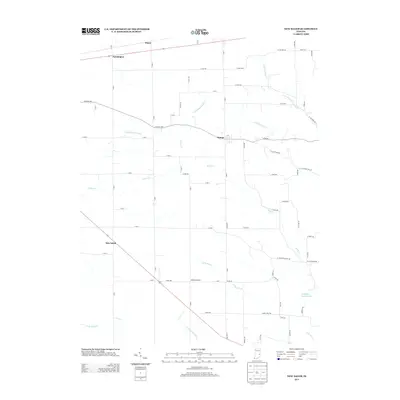
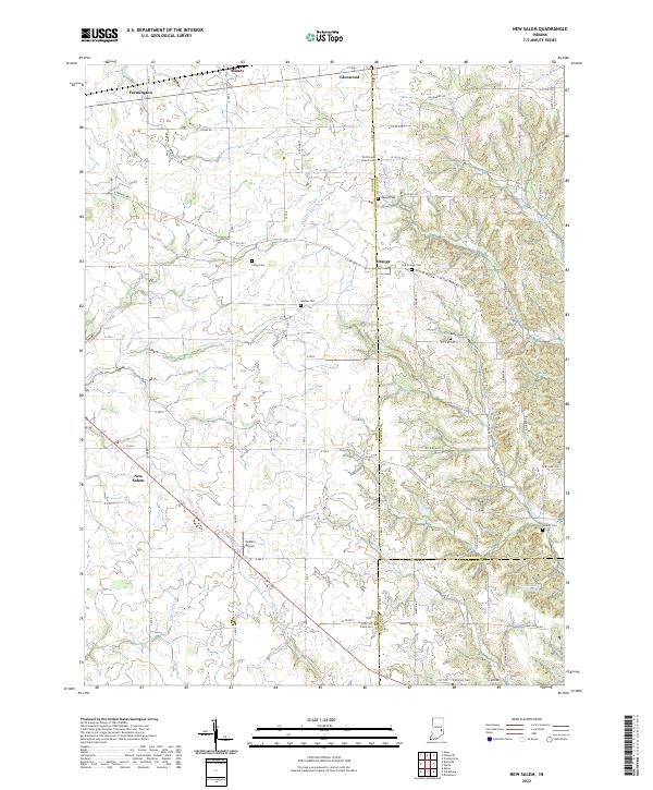
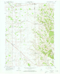 1959 New Salem1960 Print · USGSThe rural landscape of Rush County in the late fifties is defined by its small farming settlements and pioneer-era legacy. Genealogists can trace family roots through numerous burial grounds like Heaton Cem and Orange North Cem or locate the historic Indian Treaty Boundary.3 unique versions available
 - 1959 Map of Falmouth, 1960 Print
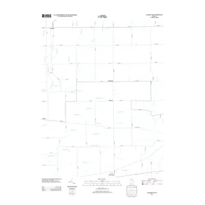
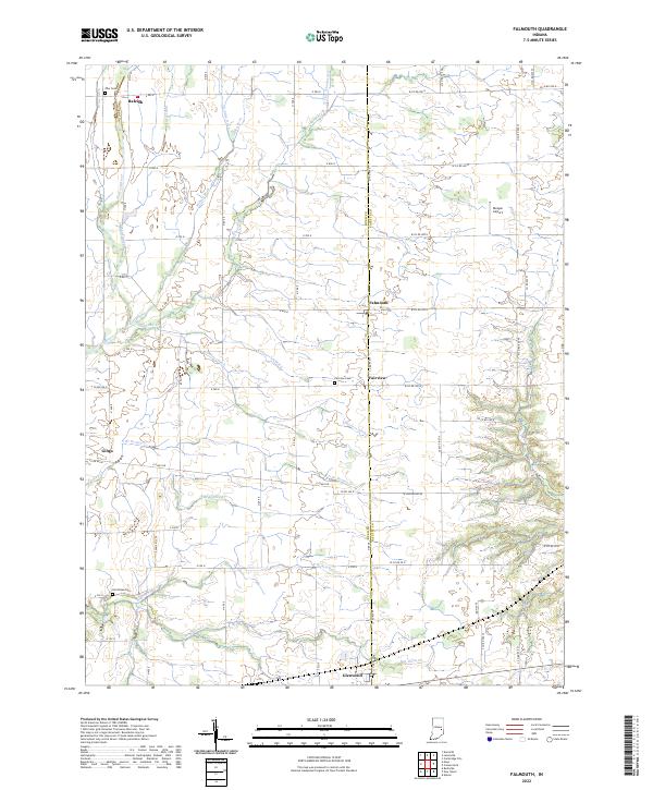
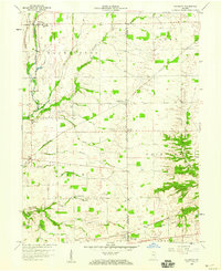 1959 Falmouth1960 Print · USGSRush and Fayette counties appear at the height of the mid-century agricultural era, shaped by the Flatrock River and the Pennsylvania Railroad. Genealogists can trace family footprints at Plum Creek Ch, Hinchman Cem, and the old Township Sch.2 unique versions available
 - 1986 Map of New Castle
 1986 New Castle1986 Print · USGSEast Central Indiana remains a patchwork of thriving county seats and rail-side hamlets in the mid-eighties. Genealogists and historians can locate family landmarks such as East Hill Cemetery, Little Blue River Church, and the transit lines of the CONRAIL railroad.2 unique versions available
 - 2010 Map of Falmouth, 2010 Print
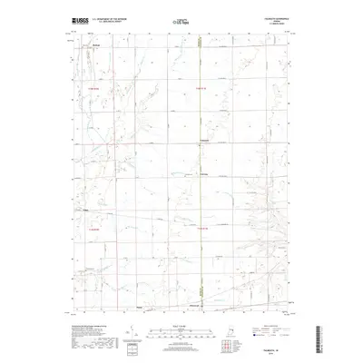
 2010 Falmouth2010 Print · USGSCovers Glenwood, including Fairview, Raleigh, and other nearby areas
 - 2010 Map of New Salem, 2010 Print
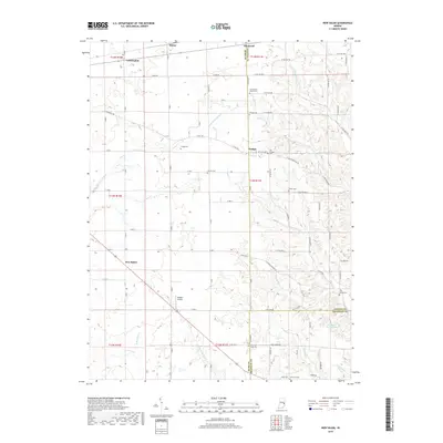
 2010 New Salem2010 Print · USGSCovers Glenwood, including Orange, Farmington, and other nearby areas
 - 2013 Map of New Salem, 2013 Print
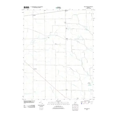
 2013 New Salem2013 Print · USGSCovers Glenwood, including Orange, Farmington, and other nearby areas
 - 2013 Map of Falmouth, 2013 Print
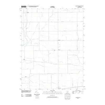
 2013 Falmouth2013 Print · USGSCovers Glenwood, including Fairview, Raleigh, and other nearby areas
 - 2016 Map of New Salem, 2016 Print
 2016 New Salem2016 Print · USGSCovers Glenwood, including Orange, Farmington, and other nearby areas
 - 2016 Map of Falmouth, 2016 Print
 2016 Falmouth2016 Print · USGSCovers Glenwood, including Fairview, Raleigh, and other nearby areas
 - 2019 Map of Falmouth, 2019 Print
 2019 Falmouth2019 Print · USGSCovers Glenwood, including Fairview, Raleigh, and other nearby areas
 - 2019 Map of New Salem, 2019 Print
 2019 New Salem2019 Print · USGSCovers Glenwood, including Orange, Farmington, and other nearby areas
 - 2022 Map of Falmouth, 2022 Print
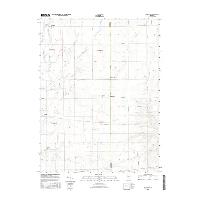
 2022 Falmouth2022 Print · USGSRush and Fayette Counties are shown here during a period of modern agricultural stability, centered on the crossroads village of Falmouth. Genealogists and local historians can trace burial sites like Zion Cemetery and the various branches of Ben Davis Creek.
 - 2022 Map of New Salem, 2022 Print
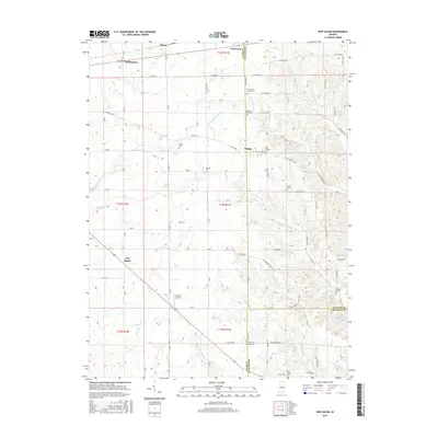
 2022 New Salem2022 Print · USGSRush County farmland and the hills of the Fayette County border meet here in the early 2020s. Genealogists can trace family names through numerous pioneer burial sites including Old Friends Church Cem, Gregg Cem, and the Old Brick Cem near New Salem.
End of results
Showing maps 1-15 of 15
Top cities near Glenwood
- Connersville historical maps
- Rushville historical maps
- Cambridge City historical maps
- Knightstown historical maps
- Columbia historical maps
- Spiceland historical maps
See more
Frequently asked questions
- What are the different types of historical maps available for Glenwood?
- What is the oldest map of Glenwood?
- Where can I purchase historical maps of Glenwood for my home or office?
- Where can I download high-res historical maps of Glenwood?
- Are there historical topographic maps available for Glenwood?
- Is there historical aerial imagery available for Glenwood?
- Where are historical maps of Glenwood sourced from?