Old Maps of Switz City, Indiana for Academic Research
Study the evolution of Switz City with 14 high-resolution historic maps. Whether you're teaching, researching, or modeling changes in land use, these maps provide essential visual documentation of urban, environmental, and geographic change.
- Analyze long-term change: Track patterns in development, transportation, and natural features.
- Ideal for environmental or urban studies: Support academic projects with primary historical map data.
- Use in the classroom or lab: Educators and researchers rely on these maps to bring historical context to life.
These maps are a powerful tool for teaching, research, and visualizing how Switz City has changed over the decades.
Switz City, IN maps
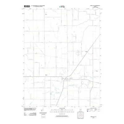
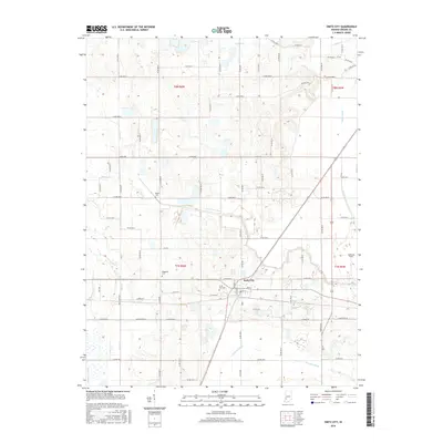
(14)- 1938 Map of Switz City
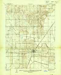 1938 Switz City1938 Print · USGSIn the late 1930s, Switz City functioned as a vital Indiana rail hub where two major lines crossed amidst a landscape shaped by drainage canals. Researchers can locate numerous family burial sites like Bohley Cem or trace early industry at a Coal Mine.
 - 1947 Map of Switz City
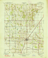 1947 Switz City1947 Print · USGSGreene County was a busy junction of rail and industry in the late 1930s, centered on the crossing of two major lines. Genealogists and researchers can trace family roots at Walker Cem, find the site of School No 6, or locate several historic Coal Mines.
 - 1950 Map of Switz City, 1953 Print
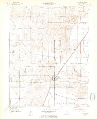 1950 Switz City1953 Print · USGSSwitz City in the early fifties was a vital rail crossroads where the Pennsylvania and Illinois Central lines met. Genealogists can locate numerous family burial sites like Buzan Cem and Miller Cem alongside early coal-industry Strip Mine sites.2 unique versions available
 - 1953 Map of Indianapolis, 1965 Print
 1953 Indianapolis1965 Print · USGSCentral Indiana and the Illinois borderlands are captured in the mid-sixties, showing the growth of Indianapolis and its industrial rail corridors. Genealogists and historians can trace the development of outlying towns like Zionsville or Beech Grove and find landmarks such as Atterbury AAF and Turkey Run State Park.4 unique versions available
 - 1956 Map of Indianapolis
 1956 Indianapolis1956 Print · USGSCentral Indiana in the mid-fifties is captured during a period of industrial growth and military presence. Genealogists and historians can trace the rail networks of the New York Central or locate regional landmarks like Fort Benjamin Harrison and Camp Atterbury.
 - 1957 Map of Indianapolis
 1957 Indianapolis1957 Print · USGSCentral Indiana in the mid-fifties is captured here as a crossroads of major rail lines and nascent federal highways. Genealogists and historians can trace family-named ridges like Poplar Ridge or locate strategic sites like Camp Atterbury and Speedway.2 unique versions available
 - 1962 Map of Indianapolis
 1962 Indianapolis1962 Print · USGSCentral Indiana and the Illinois borderlands are captured here in the early sixties, showing the region's dense rail networks and growing urban centers. Genealogists and historians can locate family-named landmarks and institutions like Crown Hill Cem, Indiana University, and the Indianapolis Motor Speedway.
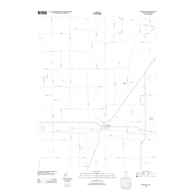
 - 1963 Map of Switz City, 1964 Print
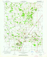 1963 Switz City1964 Print · USGSRail and coal define this Greene County landscape in the early sixties, centered on the strategic crossing at Switz City. Genealogists and researchers can trace family-named burial sites like Buzan Cem and Tally Cem alongside the industrial footprint of the Illinois Central and local Strip Mines.3 unique versions available
 - 1986 Map of Terre Haute
 1986 Terre Haute1986 Print · USGSThe Wabash River valley and the coal-rich hills of West-Central Indiana and East-Central Illinois are shown here in the mid-eighties. Genealogists and local historians can trace family-named corners like Barrick Corner, find rural churches like New Hope Ch, and locate industrial landmarks such as the Thunderbird Mine.2 unique versions available
 - 2010 Map of Switz City, 2010 Print
 2010 Switz City2010 Print · USGSCovers Switz City, including Dixon, Greene County, and other nearby areas
 - 2013 Map of Switz City, 2013 Print
 2013 Switz City2013 Print · USGSCovers Switz City, including Dixon, Greene County, and other nearby areas
 - 2016 Map of Switz City, 2016 Print
 2016 Switz City2016 Print · USGSCovers Switz City, including Dixon, Greene County, and other nearby areas
 - 2019 Map of Switz City, 2019 Print
 2019 Switz City2019 Print · USGSCovers Switz City, including Dixon, Greene County, and other nearby areas
 - 2022 Map of Switz City, 2022 Print
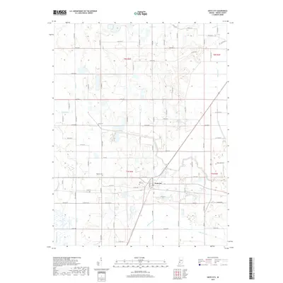
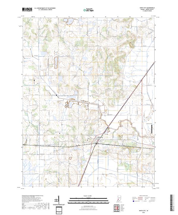 2022 Switz City2022 Print · USGSGreene County agriculture and rural life take center stage here as the modern era preserves the historical layout of local townships. Genealogists can trace family roots at Switz City Cem and Bohley Cem while following the path of Lattas Cr.
End of results
Showing maps 1-14 of 14
Top cities near Switz City
- Linton historical maps
- Bloomfield historical maps
- Jasonville historical maps
- Cass historical maps
- Worthington historical maps
- Odon historical maps
See more
Frequently asked questions
- What are the different types of historical maps available for Switz City?
- What is the oldest map of Switz City?
- Where can I purchase historical maps of Switz City for my home or office?
- Where can I download high-res historical maps of Switz City?
- Are there historical topographic maps available for Switz City?
- Is there historical aerial imagery available for Switz City?
- Where are historical maps of Switz City sourced from?