Old Maps of The Bluffs at Flat Fork, Hamilton County for Hiking & Exploration
Hike through history with 18 historic maps of The Bluffs at Flat Fork. Explore old trails, ghost towns, and forgotten backroads — perfect for outdoor adventurers and local explorers.
- Rediscover forgotten places: Map out old mining camps, roads, and footpaths that no longer exist on modern maps.
- Layer with modern tools: Combine with LiDAR or satellite views to plan hikes through historical terrain.
- Made for exploration: Popular among hikers, overlanders, and local history lovers.
Use these maps to find adventure and explore the hidden past of The Bluffs at Flat Fork.
The Bluffs at Flat Fork, Hamilton County maps
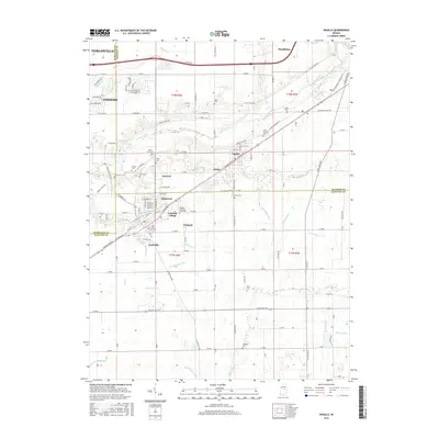
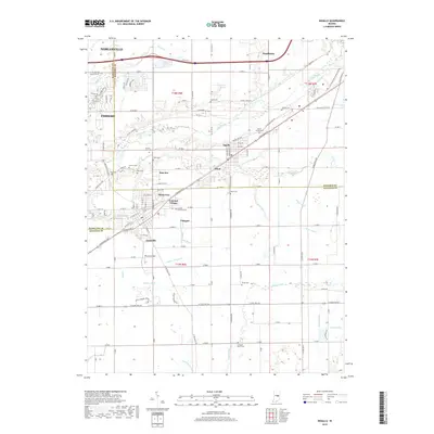
(18)- 1952 Map of Ingalls, 1953 Print
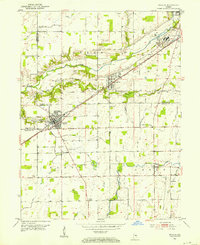 1952 Ingalls1953 Print · USGSCentral Indiana's agricultural and industrial corridor is captured here in the early fifties, following the New York Central line. Genealogists can trace family footprints across dozens of sites like Gravel Lawn Cem, Beech Grove Ch, and the outlying settlement of Eden.
 - 1952 Map of Mc Cordsville, 1953 Print
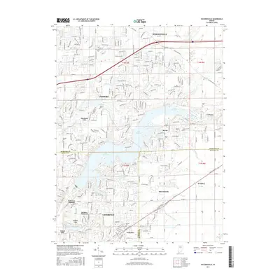
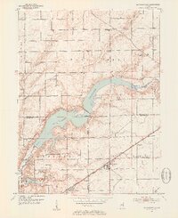 1952 Mc Cordsville1953 Print · USGSCentral Indiana in the early fifties shows the expansion of Geist Reservoir and the established rail lines. Genealogists can trace family landmarks and rural homesteads through McCordsville, Highland Cem, and Bethlehem Ch.2 unique versions available
 - 1953 Map of Cincinnati, 1965 Print
 1953 Cincinnati1965 Print · USGSThe Ohio River valley and the industrial heartland of Indiana and Ohio are captured here during the mid-century peak of rail and river commerce. Genealogists and historians can trace connections between Cincinnati and outlying military sites like Camp Atterbury and Bakalar AFB.3 unique versions available
 - 1957 Map of Cincinnati
 1957 Cincinnati1957 Print · USGSThe Ohio River valley and its surrounding highlands thrived during the mid-fifties industrial peak, centered on the bustling Cincinnati and Dayton metropolitan hubs. Researchers can trace the extensive rail networks and military sites like Wright-Patterson AFB and Camp Atterbury.
 - 1962 Map of Mc Cordsville, 1963 Print
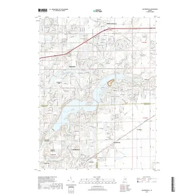
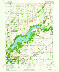 1962 Mc Cordsville1963 Print · USGSThe Geist Reservoir area undergoes a mid-century transformation where rural crossroads meet new lakeside developments. Researchers can trace ancestral sites at Arnett Cem or the rail history of McCordsville along the New York Central line.3 unique versions available
 - 1962 Map of Ingalls, 1963 Print
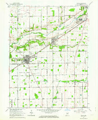 1962 Ingalls1963 Print · USGSAs the mid-century suburban shift began to reach central Indiana, this area saw traditional farming intersect with growing communities and institutional landmarks. Genealogists can trace family names through sites like Hiday Cem, Beech Grove Ch, and the State Reformatory.3 unique versions available
 - 1986 Map of New Castle
 1986 New Castle1986 Print · USGSEast Central Indiana remains a patchwork of thriving county seats and rail-side hamlets in the mid-eighties. Genealogists and historians can locate family landmarks such as East Hill Cemetery, Little Blue River Church, and the transit lines of the CONRAIL railroad.2 unique versions available
 - 1998 Map of Mc Cordsville, 2002 Print
 1998 Mc Cordsville2002 Print · USGSThe growing communities northeast of Indianapolis come into focus here during the late nineties as residential development meets rural heritage. Genealogists and local historians can trace family plots like Arnett Cem or explore the early layouts of Woodbury and McCordsville along the Conrail tracks.
 - 2010 Map of McCordsville, 2010 Print
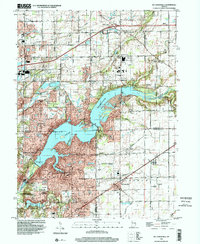
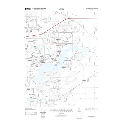
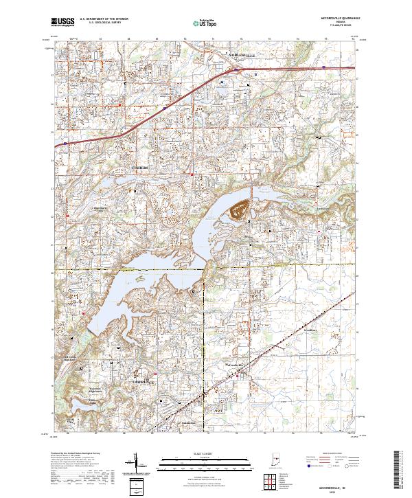
 2010 McCordsville2010 Print · USGSCovers The Bluffs at Flat Fork, including Indianapolis, Fishers, and other nearby areas
 - 2010 Map of Ingalls, 2010 Print
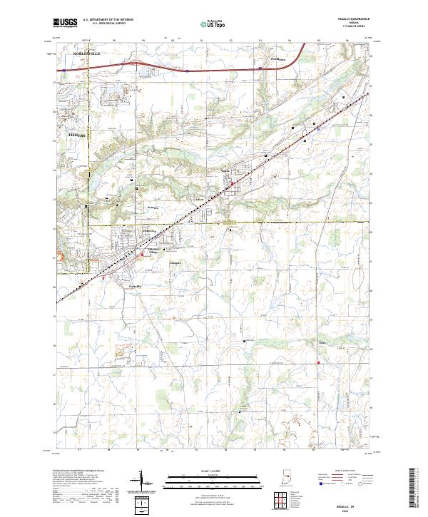
 2010 Ingalls2010 Print · USGSCovers The Bluffs at Flat Fork, including Fishers, Noblesville, and other nearby areas
 - 2013 Map of Ingalls, 2013 Print
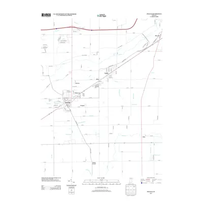 2013 Ingalls2013 Print · USGSCovers The Bluffs at Flat Fork, including Fishers, Noblesville, and other nearby areas
 - 2013 Map of McCordsville, 2013 Print
 2013 McCordsville2013 Print · USGSCovers The Bluffs at Flat Fork, including Indianapolis, Fishers, and other nearby areas
 - 2016 Map of Ingalls, 2016 Print
 2016 Ingalls2016 Print · USGSCovers The Bluffs at Flat Fork, including Fishers, Noblesville, and other nearby areas
 - 2016 Map of McCordsville, 2016 Print
 2016 McCordsville2016 Print · USGSCovers The Bluffs at Flat Fork, including Indianapolis, Fishers, and other nearby areas
 - 2019 Map of McCordsville, 2019 Print
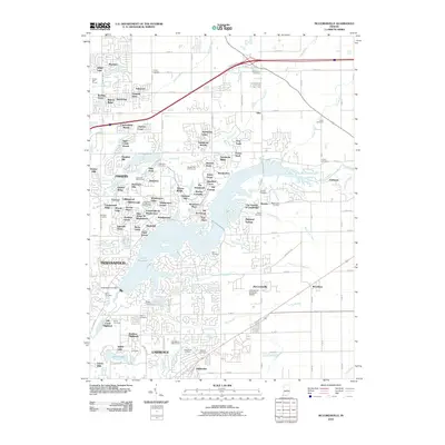
 2019 McCordsville2019 Print · USGSCovers The Bluffs at Flat Fork, including Indianapolis, Fishers, and other nearby areas
 - 2019 Map of Ingalls, 2019 Print
 2019 Ingalls2019 Print · USGSCovers The Bluffs at Flat Fork, including Fishers, Noblesville, and other nearby areas
 - 2022 Map of McCordsville, 2022 Print
 2022 McCordsville2022 Print · USGSThe suburban and lakeside developments northeast of Indianapolis are captured here in the early twenty-first century as the region expanded. Genealogists and local historians can locate numerous family burial sites like Helm Cem and Salem Cem or trace the early paths of Oaklandon and Woodbury.
 - 2022 Map of Ingalls, 2022 Print
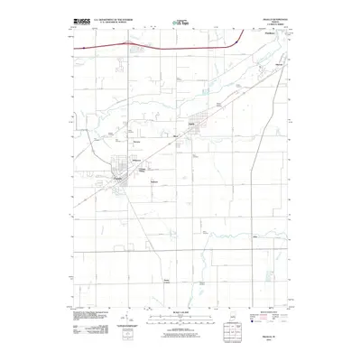
 2022 Ingalls2022 Print · USGSThe Madison and Hancock county line comes alive in this contemporary survey, showing the residential growth of Ingalls and Fortville. Researchers can locate numerous family burial sites like Hiday Cem and Crosley Cem or trace the path of the McFadden Ditch.
End of results
Showing maps 1-18 of 18
Frequently asked questions
- What are the different types of historical maps available for The Bluffs at Flat Fork?
- What is the oldest map of The Bluffs at Flat Fork?
- Where can I purchase historical maps of The Bluffs at Flat Fork for my home or office?
- Where can I download high-res historical maps of The Bluffs at Flat Fork?
- Are there historical topographic maps available for The Bluffs at Flat Fork?
- Is there historical aerial imagery available for The Bluffs at Flat Fork?
- Where are historical maps of The Bluffs at Flat Fork sourced from?