2000s (21st Century) Maps of Corydon, Indiana
Explore 10 historic maps of Corydon from the 2000s (21st Century). These maps offer a rare glimpse into what life looked like during the 2000s — showing old roads, neighborhoods, homes, and landmarks that have changed or disappeared over time.
Whether you're researching your family's past, planning a metal detecting trip, or studying how Corydon's landscape evolved across the 2000s, these high-resolution maps are a powerful tool for exploring the history of this region.
- Focus on a specific era: All maps on this page are from the 2000s, giving you a focused view of this time period.
- See what’s changed: Compare century-old streets, trails, and buildings to today's modern landscape using overlays and satellite layers.
- Research with precision: Use these maps for genealogy, historical research, land use analysis, or educational projects.
- View, download, or print: Maps are fully viewable online in high resolution, and can be downloaded or printed for your own records.
Start exploring Corydon's history through authentic maps from the 2000s. This is your window into the past.
Corydon, IN maps
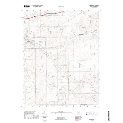
(10)- 2010 Map of Corydon East, 2010 Print
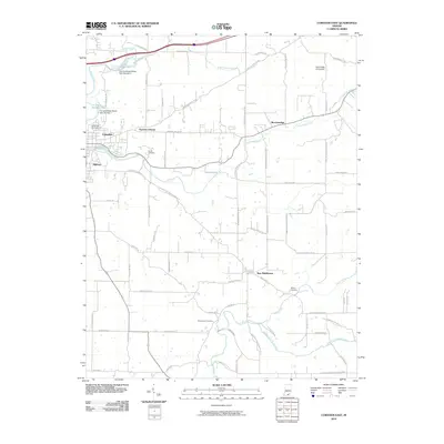 2010 Corydon East2010 Print · USGSCovers Corydon, including New Middletown, Breckenridge, and other nearby areas
 - 2010 Map of Corydon West, 2010 Print
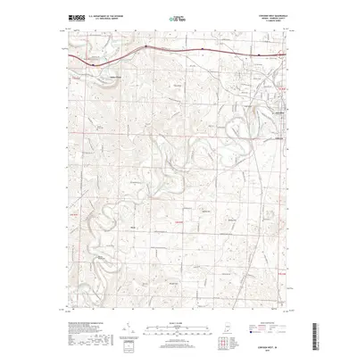
 2010 Corydon West2010 Print · USGSCovers Corydon, including White Cloud, Dixie, and other nearby areas
 - 2013 Map of Corydon East, 2013 Print
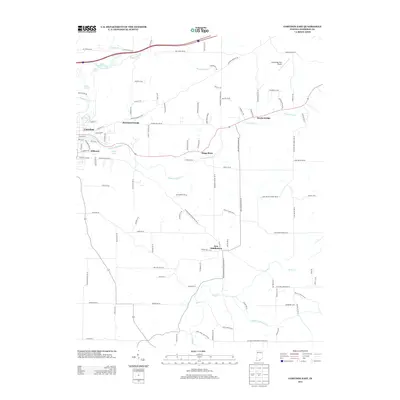 2013 Corydon East2013 Print · USGSCovers Corydon, including New Middletown, Breckenridge, and other nearby areas
 - 2014 Map of Corydon West, 2014 Print
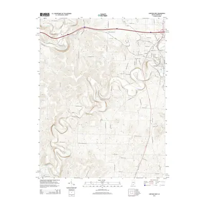 2014 Corydon West2014 Print · USGSCovers Corydon, including White Cloud, Dixie, and other nearby areas
 - 2016 Map of Corydon West, 2016 Print
 2016 Corydon West2016 Print · USGSCovers Corydon, including White Cloud, Dixie, and other nearby areas
 - 2016 Map of Corydon East, 2016 Print
 2016 Corydon East2016 Print · USGSCovers Corydon, including New Middletown, Breckenridge, and other nearby areas
 - 2019 Map of Corydon West, 2019 Print
 2019 Corydon West2019 Print · USGSCovers Corydon, including White Cloud, Dixie, and other nearby areas
 - 2019 Map of Corydon East, 2019 Print
 2019 Corydon East2019 Print · USGSCovers Corydon, including New Middletown, Breckenridge, and other nearby areas
 - 2022 Map of Corydon West, 2022 Print
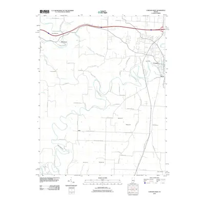
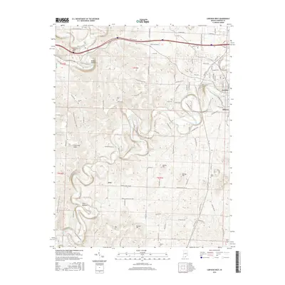
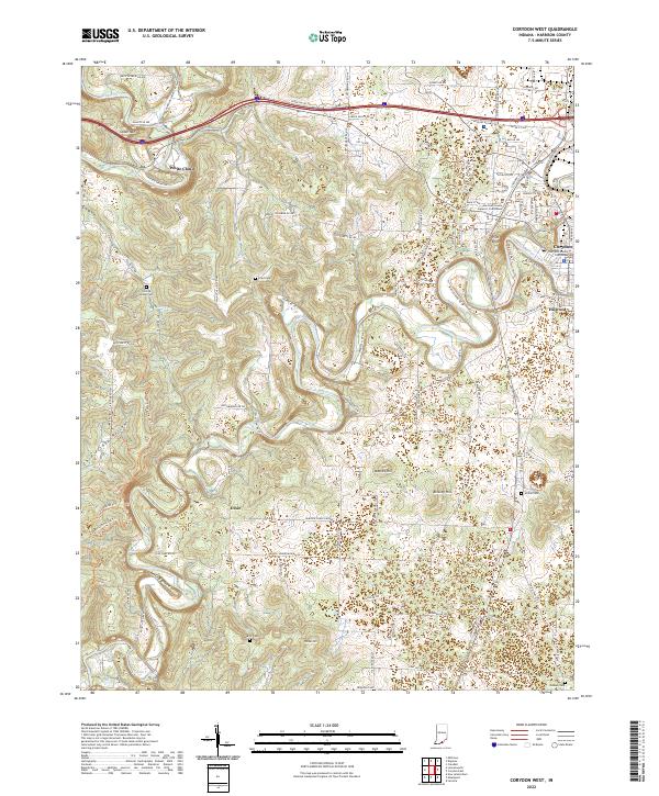 2022 Corydon West2022 Print · USGSHarrison County, Indiana, is captured here in the early twenty-first century as modern roads and trails traverse its historic limestone hills. Researchers can locate numerous family burial sites and landmarks like Conrad Hottel Cem, White Cloud, and the Harrison County Courthouse.
 - 2022 Map of Corydon East, 2022 Print
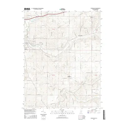
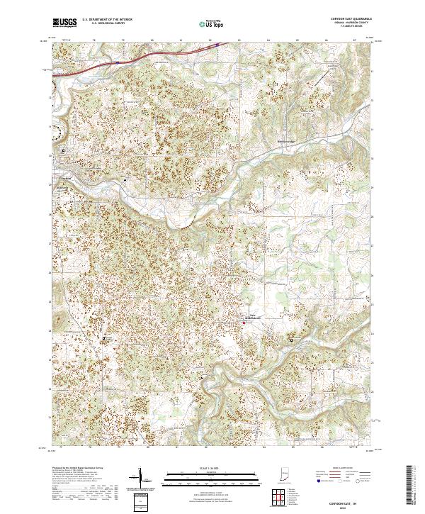 2022 Corydon East2022 Print · USGSHarrison County settlement and rural life are detailed here in the early twenty-first century, centered on the expansion east of Corydon. Local historians can trace family ties at Shuck Cem and Sharon Cem or locate landmarks like Greenridge Airport.
End of results
Showing maps 1-10 of 10
Top cities near Corydon
- Louisville historical maps
- Georgetown historical maps
- Brandenburg historical maps
- Marengo historical maps
- Palmyra historical maps
- Lanesville historical maps
See more
Top neighborhoods of Corydon
Frequently asked questions
- What are the different types of historical maps available for Corydon?
- What is the oldest map of Corydon?
- Where can I purchase historical maps of Corydon for my home or office?
- Where can I download high-res historical maps of Corydon?
- Are there historical topographic maps available for Corydon?
- Is there historical aerial imagery available for Corydon?
- Where are historical maps of Corydon sourced from?