Old Maps of Hillcrest, Corydon for Hiking & Exploration
Hike through history with 14 historic maps of Hillcrest. Explore old trails, ghost towns, and forgotten backroads — perfect for outdoor adventurers and local explorers.
- Rediscover forgotten places: Map out old mining camps, roads, and footpaths that no longer exist on modern maps.
- Layer with modern tools: Combine with LiDAR or satellite views to plan hikes through historical terrain.
- Made for exploration: Popular among hikers, overlanders, and local history lovers.
Use these maps to find adventure and explore the hidden past of Hillcrest.
Hillcrest, Corydon maps
(14)- 1931 Map of Corydon
 1931 Corydon1931 Print · USGSThe Kentucky-Indiana borderlands along the Ohio River are captured here during the late Prohibition era. Local researchers can trace the riverbank settlement of Brandenburg or locate landmarks like the Oak Grove Sch and Hamilton Hill.4 unique versions available
 - 1948 Map of Corydon East
 1948 Corydon East1948 Print · USGSHarrison County's rural heartland is captured here in the late 1940s, centered on the historic seat of Corydon. Researchers can trace old family lines at Warren Cem or locate vanished landmarks like Getz School and Kings Store.2 unique versions available
 - 1950 Map of Corydon, 1959 Print
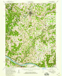 1950 Corydon1959 Print · USGSSouthern Indiana and northern Kentucky are captured here in the mid-fifties, centered on the historic town of Corydon and the banks of the Ohio River. Researchers can trace rural life through sites like Sky Park Airport, St Peters Ch, and the river crossing at Mauckport.
 - 1956 Map of Vincennes, 1967 Print
 1956 Vincennes1967 Print · USGSSouthern Indiana and the Illinois borderlands are captured here in the mid-fifties, showing the region's dense network of river towns and rail lines. Researchers can trace historic river crossings along the Wabash River or locate landmarks like Wyandotte Cave and Lincoln State Park.4 unique versions available
 - 1957 Map of Vincennes
 1957 Vincennes1957 Print · USGSSouthwest Indiana and the Illinois borderlands come alive in the late 1950s, a period of heavy rail traffic and expanding state forests. Genealogists and historians can trace the riverfronts and rail lines of Vincennes, New Harmony, and the vast Crane Naval Ammunition Depot.
 - 1958 Map of Vincennes
 1958 Vincennes1958 Print · USGSSouthern Indiana and the Illinois borderlands are captured during a mid-century period of heavy rail traffic and military activity. Researchers can trace the sprawling bounds of the Crane Naval Ammunition Depot or locate historic settlements like New Harmony and French Lick.2 unique versions available
 - 1966 Map of Corydon East, 1968 Print
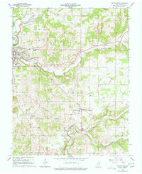 1966 Corydon East1968 Print · USGSHarrison County's rural townships and the historic seat of Corydon are captured here in the mid-1960s during a period of steady community growth. Trace family lineages through numerous local landmarks like Cedar Hill Cem, St Peters Ch, and the isolated Kings Cave.5 unique versions available
 - 1986 Map of Jasper
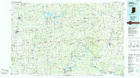 1986 Jasper1986 Print · USGSSouthern Indiana in the 1980s is defined by the expansive Patoka Lake and the dense timber of the Hoosier National Forest. Researchers can trace the Southern RR through the hills or locate historic sites like Saint Meinrad and Sulphur Springs.
 - 1994 Map of Jasper
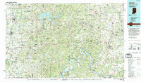 1994 Jasper1994 Print · USGSSouthern Indiana and the Kentucky borderlands are captured here in the mid-nineties, showing a landscape defined by the Ohio River and dense state forests. Genealogists can locate family landmarks like Saint Meinrad Archabbey, Saint Anthony, and the historic Lincoln Boyhood National Memorial.
 - 2010 Map of Corydon East, 2010 Print
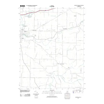 2010 Corydon East2010 Print · USGSIndiana's rural heritage in Harrison County is preserved here just as the new millennium progressed, showing the area's steady growth. Genealogists and local historians can trace family roots through Cedar Hill Cemetery, the community of New Middletown, and the grounds of Harrison Grange.
 - 2013 Map of Corydon East, 2013 Print
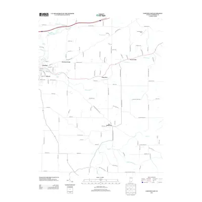 2013 Corydon East2013 Print · USGSHarrison County at the beginning of the 2010s shows a mix of growing residential communities and traditional rural crossroads. Researchers can trace the heritage of local hubs like Kings Store and Harrison Grange or locate family landmarks near Sulphur Spring.
 - 2016 Map of Corydon East, 2016 Print
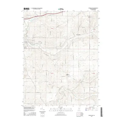 2016 Corydon East2016 Print · USGSHarrison County at the height of the 2010s shows a landscape of small Indiana settlements and rural farmsteads. Genealogists can trace family landmarks like Musselman Cem and Shuck Cem or follow the waters of Indian Creek and Little Indian Cr.
 - 2019 Map of Corydon East, 2019 Print
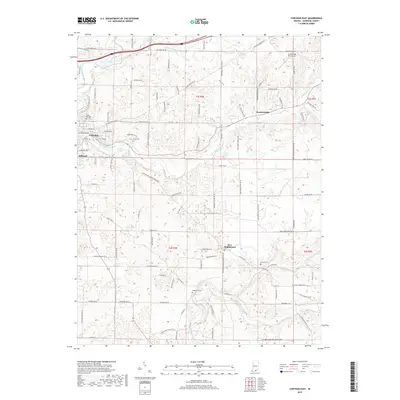 2019 Corydon East2019 Print · USGSHarrison County settlement patterns and water networks are visible in this detailed contemporary survey. Researchers can trace ancestral locations near Corydon and New Middletown, locating family-named sites like Shuck Cem and Musselman Cem.
 - 2022 Map of Corydon East, 2022 Print
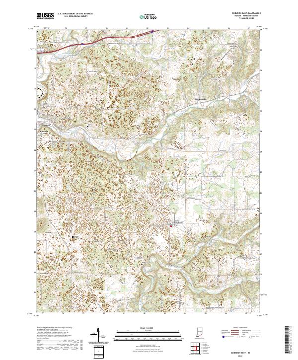 2022 Corydon East2022 Print · USGSHarrison County settlement and rural life are detailed here in the early twenty-first century, centered on the expansion east of Corydon. Local historians can trace family ties at Shuck Cem and Sharon Cem or locate landmarks like Greenridge Airport.
End of results
Showing maps 1-14 of 14
Top cities near Hillcrest
- Louisville historical maps
- Corydon historical maps
- Georgetown historical maps
- Brandenburg historical maps
- Marengo historical maps
- Palmyra historical maps
See more
Frequently asked questions
- What are the different types of historical maps available for Hillcrest?
- What is the oldest map of Hillcrest?
- Where can I purchase historical maps of Hillcrest for my home or office?
- Where can I download high-res historical maps of Hillcrest?
- Are there historical topographic maps available for Hillcrest?
- Is there historical aerial imagery available for Hillcrest?
- Where are historical maps of Hillcrest sourced from?