Old Maps of Hancock Chapel, Indiana for Genealogy
Trace your family roots with 12 historic maps of Hancock Chapel. These high-res maps reveal old neighborhoods, homesites, landmarks, and streets — helping you uncover where your ancestors lived and how the area evolved over time.
- Explore historic neighborhoods: Identify where your relatives may have lived in the 1800s or 1900s.
- Compare maps over time: Trace the changes in streets, buildings, and landmarks for multi-generational research.
- Perfect for genealogy & ancestry research: Used by family historians and researchers to map out lineage and migration.
These maps are an incredible resource for exploring your personal connection to Hancock Chapel's past.
Hancock Chapel, IN maps
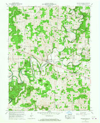
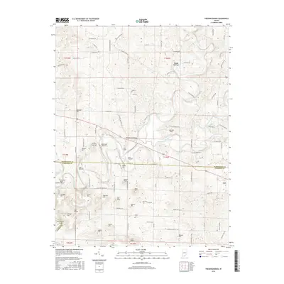
(12)- 1953 Map of Fredericksburg, 1954 Print
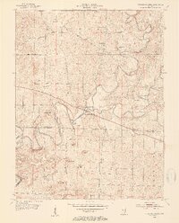 1953 Fredericksburg1954 Print · USGSFredericksburg and the winding Blue River valley are captured here in the early fifties, showing a rural landscape defined by karst topography and river bottoms. Researchers can trace family history at the Roland Voyles Cem, visit Greene Mill, or locate the Adams Sch.2 unique versions available
 - 1956 Map of Vincennes, 1967 Print
 1956 Vincennes1967 Print · USGSSouthern Indiana and the Illinois borderlands are captured here in the mid-fifties, showing the region's dense network of river towns and rail lines. Researchers can trace historic river crossings along the Wabash River or locate landmarks like Wyandotte Cave and Lincoln State Park.4 unique versions available
 - 1957 Map of Vincennes
 1957 Vincennes1957 Print · USGSSouthwest Indiana and the Illinois borderlands come alive in the late 1950s, a period of heavy rail traffic and expanding state forests. Genealogists and historians can trace the riverfronts and rail lines of Vincennes, New Harmony, and the vast Crane Naval Ammunition Depot.
 - 1958 Map of Vincennes
 1958 Vincennes1958 Print · USGSSouthern Indiana and the Illinois borderlands are captured during a mid-century period of heavy rail traffic and military activity. Researchers can trace the sprawling bounds of the Crane Naval Ammunition Depot or locate historic settlements like New Harmony and French Lick.2 unique versions available
 - 1966 Map of Fredericksburg, 1968 Print
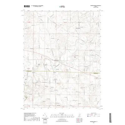
 1966 Fredericksburg1968 Print · USGSThe Blue River corridor in the mid-1960s reveals a landscape shaped by early surveyors and local industry. Genealogists can trace family roots through many rural landmarks, including McIntosh Mill, Kays Chapel, and the historic INDIAN TREATY BOUNDARY.3 unique versions available
 - 1986 Map of Jasper
 1986 Jasper1986 Print · USGSSouthern Indiana in the 1980s is defined by the expansive Patoka Lake and the dense timber of the Hoosier National Forest. Researchers can trace the Southern RR through the hills or locate historic sites like Saint Meinrad and Sulphur Springs.
 - 1994 Map of Jasper
 1994 Jasper1994 Print · USGSSouthern Indiana and the Kentucky borderlands are captured here in the mid-nineties, showing a landscape defined by the Ohio River and dense state forests. Genealogists can locate family landmarks like Saint Meinrad Archabbey, Saint Anthony, and the historic Lincoln Boyhood National Memorial.
 - 2010 Map of Fredericksburg, 2010 Print
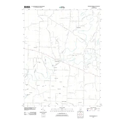 2010 Fredericksburg2010 Print · USGSCovers Hancock Chapel, including Fredericksburg, Organ Springs, and other nearby areas
 - 2013 Map of Fredericksburg, 2013 Print
 2013 Fredericksburg2013 Print · USGSCovers Hancock Chapel, including Fredericksburg, Organ Springs, and other nearby areas
 - 2016 Map of Fredericksburg, 2016 Print
 2016 Fredericksburg2016 Print · USGSCovers Hancock Chapel, including Fredericksburg, Organ Springs, and other nearby areas
 - 2019 Map of Fredericksburg, 2019 Print
 2019 Fredericksburg2019 Print · USGSCovers Hancock Chapel, including Fredericksburg, Organ Springs, and other nearby areas
 - 2022 Map of Fredericksburg, 2022 Print
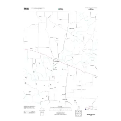
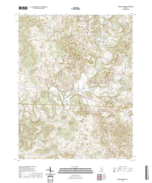 2022 Fredericksburg2022 Print · USGSFredericksburg and the surrounding hills of Washington and Harrison Counties are mapped here in the early twenty-first century. Genealogists and local historians can trace family-named landmarks like Hancock Hill, Stout Hill, and the Reno Cem.
End of results
Showing maps 1-12 of 12
Top cities near Hancock Chapel
- Salem historical maps
- Corydon historical maps
- Georgetown historical maps
- New Pekin historical maps
- Stampers Creek historical maps
- Marengo historical maps
See more
Frequently asked questions
- What are the different types of historical maps available for Hancock Chapel?
- What is the oldest map of Hancock Chapel?
- Where can I purchase historical maps of Hancock Chapel for my home or office?
- Where can I download high-res historical maps of Hancock Chapel?
- Are there historical topographic maps available for Hancock Chapel?
- Is there historical aerial imagery available for Hancock Chapel?
- Where are historical maps of Hancock Chapel sourced from?