2000s (21st Century) Maps of Brownsburg, Indiana
Explore 15 historic maps of Brownsburg from the 2000s (21st Century). These maps offer a rare glimpse into what life looked like during the 2000s — showing old roads, neighborhoods, homes, and landmarks that have changed or disappeared over time.
Whether you're researching your family's past, planning a metal detecting trip, or studying how Brownsburg's landscape evolved across the 2000s, these high-resolution maps are a powerful tool for exploring the history of this region.
- Focus on a specific era: All maps on this page are from the 2000s, giving you a focused view of this time period.
- See what’s changed: Compare century-old streets, trails, and buildings to today's modern landscape using overlays and satellite layers.
- Research with precision: Use these maps for genealogy, historical research, land use analysis, or educational projects.
- View, download, or print: Maps are fully viewable online in high resolution, and can be downloaded or printed for your own records.
Start exploring Brownsburg's history through authentic maps from the 2000s. This is your window into the past.
Brownsburg, IN maps
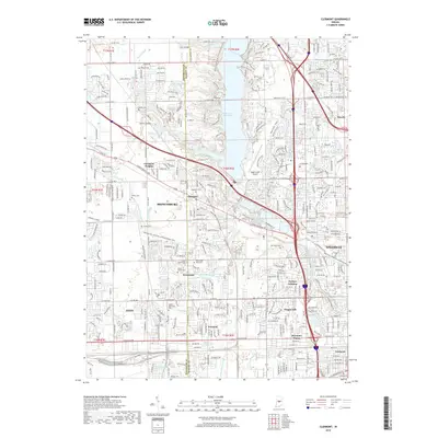
(15)- 2010 Map of Clermont, 2010 Print
 2010 Clermont2010 Print · USGSCovers Brownsburg, including Indianapolis, Plainfield, and other nearby areas
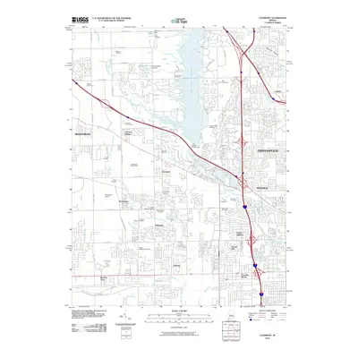
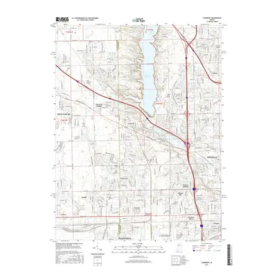
 - 2010 Map of Brownsburg, 2010 Print
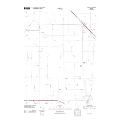
 2010 Brownsburg2010 Print · USGSCovers Brownsburg, including Avon, Danville, and other nearby areas
 - 2010 Map of Fayette, 2010 Print
 2010 Fayette2010 Print · USGSCovers Brownsburg, including Pittsboro, Milledgeville, and other nearby areas
 - 2013 Map of Brownsburg, 2013 Print
 2013 Brownsburg2013 Print · USGSCovers Brownsburg, including Avon, Danville, and other nearby areas
 - 2013 Map of Fayette, 2013 Print
 2013 Fayette2013 Print · USGSCovers Brownsburg, including Pittsboro, Milledgeville, and other nearby areas
 - 2013 Map of Clermont, 2013 Print
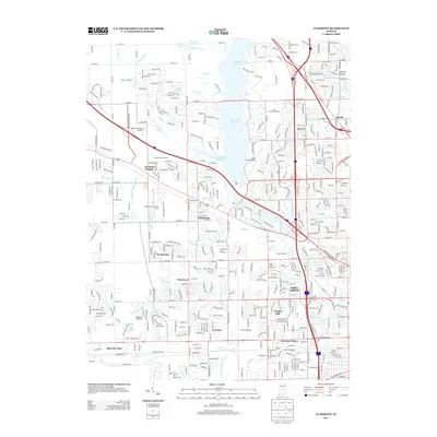 2013 Clermont2013 Print · USGSCovers Brownsburg, including Indianapolis, Plainfield, and other nearby areas
 - 2016 Map of Brownsburg, 2016 Print
 2016 Brownsburg2016 Print · USGSCovers Brownsburg, including Avon, Danville, and other nearby areas
 - 2016 Map of Fayette, 2016 Print
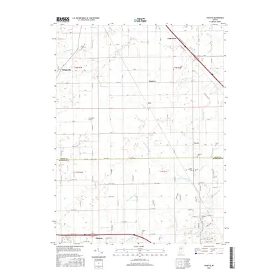 2016 Fayette2016 Print · USGSCovers Brownsburg, including Pittsboro, Milledgeville, and other nearby areas
 - 2016 Map of Clermont, 2016 Print
 2016 Clermont2016 Print · USGSCovers Brownsburg, including Indianapolis, Plainfield, and other nearby areas
 - 2019 Map of Fayette, 2019 Print
 2019 Fayette2019 Print · USGSCovers Brownsburg, including Pittsboro, Milledgeville, and other nearby areas
 - 2019 Map of Brownsburg, 2019 Print
 2019 Brownsburg2019 Print · USGSCovers Brownsburg, including Avon, Danville, and other nearby areas
 - 2019 Map of Clermont, 2019 Print
 2019 Clermont2019 Print · USGSCovers Brownsburg, including Indianapolis, Plainfield, and other nearby areas
 - 2022 Map of Fayette, 2022 Print
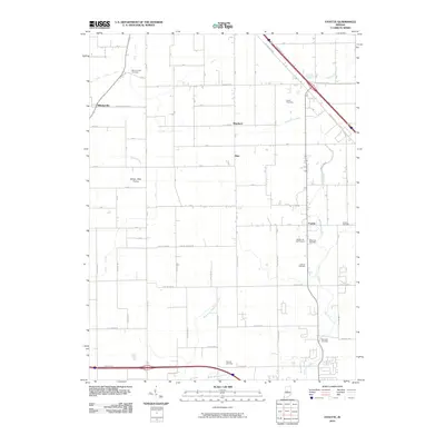
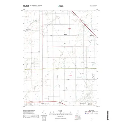
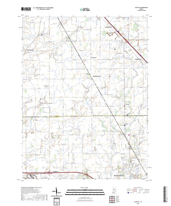 2022 Fayette2022 Print · USGSThe borderlands of Boone and Hendricks counties are captured here during a time of suburban expansion and agricultural continuity. Researchers can trace family sites at Mount Union Cem, locate the old settlement of Fayette, or follow the waters of White Lick Cr.
 - 2022 Map of Clermont, 2022 Print
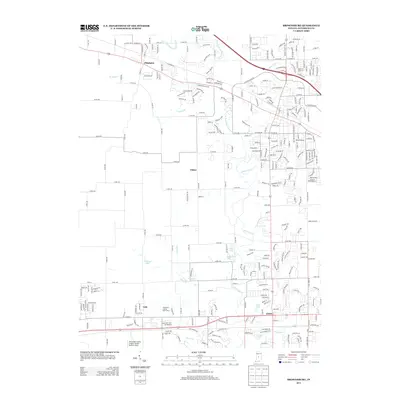
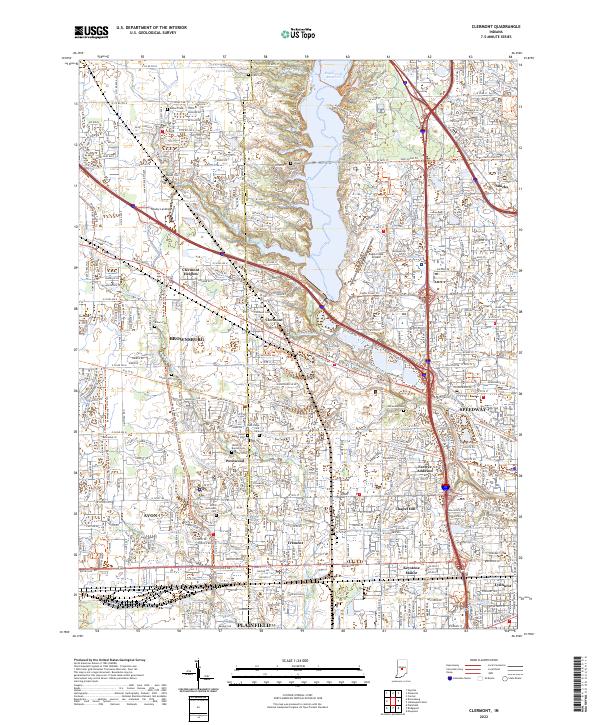 2022 Clermont2022 Print · USGSGreater Indianapolis expands westward in the early 2020s as residential growth surrounds the waters of Eagle Creek Reservoir. Researchers can locate numerous historical burial grounds like Jones Chapel Cem and Old Union Cem among the modern streets of Clermont and Speedway.
 - 2022 Map of Brownsburg, 2022 Print
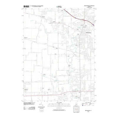
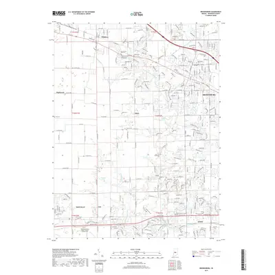
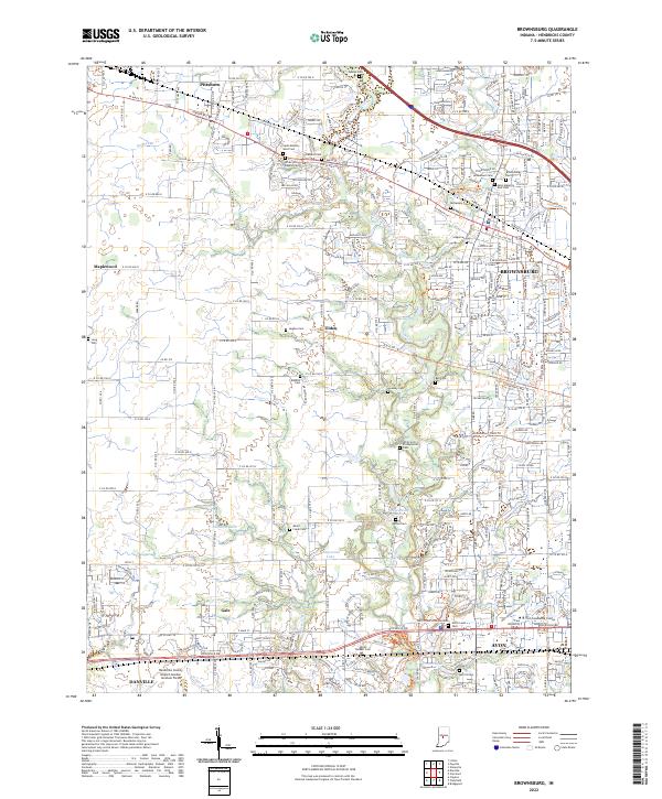 2022 Brownsburg2022 Print · USGSBrownsburg and eastern Hendricks County appear here in a period of significant growth and modern suburban development. Researchers can trace family history through numerous local burial grounds like White Lick Baptist Cem and Lingeman Cem.
End of results
Showing maps 1-15 of 15
Top cities near Brownsburg
- Indianapolis historical maps
- Carmel historical maps
- Greenwood historical maps
- Westfield historical maps
- Plainfield historical maps
- Lebanon historical maps
See more
Top neighborhoods of Brownsburg
Frequently asked questions
- What are the different types of historical maps available for Brownsburg?
- What is the oldest map of Brownsburg?
- Where can I purchase historical maps of Brownsburg for my home or office?
- Where can I download high-res historical maps of Brownsburg?
- Are there historical topographic maps available for Brownsburg?
- Is there historical aerial imagery available for Brownsburg?
- Where are historical maps of Brownsburg sourced from?