Old Maps of Mount Etna, Indiana
Explore 11 old maps of Mount Etna, spanning from 1950 to today. These high-resolution historic maps reveal how streets, neighborhoods, landmarks, and natural features evolved over time — perfect for genealogy, metal detecting, research, and local history exploration.
What you can do with these maps:
- See how Mount Etna changed over time: Compare historical maps to modern-day views to trace roads, homesites, rail lines & more.
- View detailed metadata: Each map includes creators, publishers, year, scale, and archive source.
- Overlay maps with satellite & LiDAR: Visualize the past alongside modern tools to explore terrain & human change.
- Trusted historical sources: Maps sourced from the USGS, Library of Congress, and other archives.
- Access maps your way: View online, download high-res files, or order prints for personal or research use.
Start exploring old maps of Mount Etna to uncover forgotten places, hidden landmarks, and the deep history beneath your feet.
Mount Etna, IN maps
(11)- 1950 Map of Mount Etna, 1967 Print
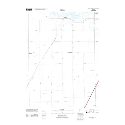
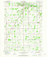 1950 Mount Etna1967 Print · USGSThe Huntington and Grant County line bisects this quiet agricultural landscape during the post-war era. Researchers can trace the development of rural social life through landmarks like Salem Ch, the Jefferson Twp Consolidated Sch, and the grounds of the Star Commonwealth For Boys.
 - 1951 Map of Mount Etna
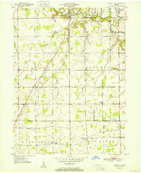 1951 Mount Etna1951 Print · USGSIndiana's rural heartland is meticulously mapped here in the early fifties, documenting a landscape of small farming communities and river valleys. Genealogists can trace family roots through sites like Pormance Cem, the Jefferson Twp Consolidated Sch, and the settlement at Banquo.2 unique versions available
 - 1953 Map of Muncie, 1966 Print
 1953 Muncie1966 Print · USGSIndiana and Ohio borderlands thrive in the early fifties, showing a landscape defined by manufacturing cities and an intensive railroad network. Genealogists can trace family roots across the Indiana-Ohio line through Muncie, Celina, and Portland via the Pennsylvania railroad.5 unique versions available
 - 1956 Map of Muncie
 1956 Muncie1956 Print · USGSEastern Indiana and western Ohio are shown at a peak of rail-driven industry in the mid-fifties. Genealogists and rail historians can trace the paths of the Pennsylvania RR through Muncie or locate landmarks like Lake Saint Marys (Grand Lake Reservoir) and Frances Slocum State Forest.
 - 1969 Map of Mount Etna, 1971 Print
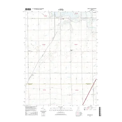
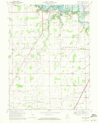 1969 Mount Etna1971 Print · USGSIndiana's rural heartland is captured here in the late sixties as the newly created Salamonie Reservoir reshaped the northern townships. Genealogists and local historians can locate early burial sites like Purviance Cem, and vanished school sites like Township Sch.2 unique versions available
 - 1986 Map of Wabash
 1986 Wabash1986 Print · USGSThe Wabash Valley and surrounding Indiana farm country are captured here in the mid-eighties, showing a landscape reshaped by major reservoirs. Genealogists and local historians can trace the paths of the Old Indian Trail and the industrial reach of the Conrail line through towns like Lagro and Warren.2 unique versions available
 - 2010 Map of Mount Etna, 2010 Print
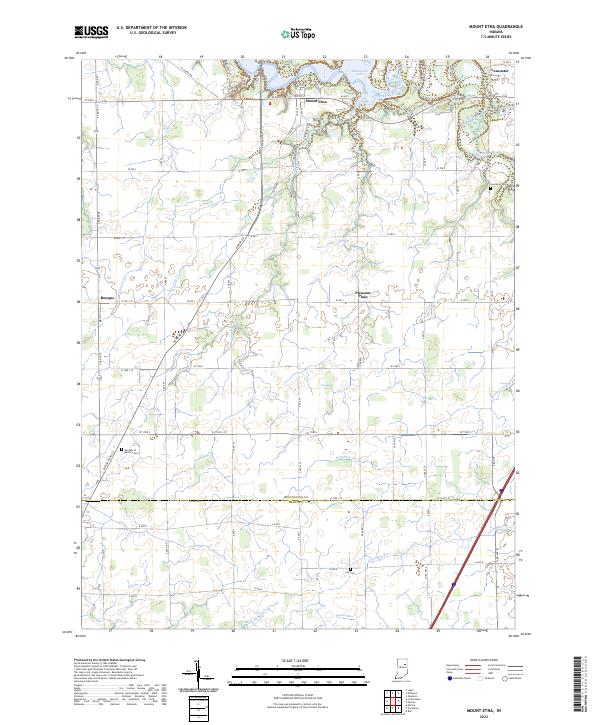
 2010 Mount Etna2010 Print · USGSCovers Mount Etna, including Lancaster, Pleasant Plain, and other nearby areas
 - 2013 Map of Mount Etna, 2013 Print
 2013 Mount Etna2013 Print · USGSCovers Mount Etna, including Lancaster, Pleasant Plain, and other nearby areas
 - 2016 Map of Mount Etna, 2016 Print
 2016 Mount Etna2016 Print · USGSCovers Mount Etna, including Lancaster, Pleasant Plain, and other nearby areas
 - 2019 Map of Mount Etna, 2019 Print
 2019 Mount Etna2019 Print · USGSCovers Mount Etna, including Lancaster, Pleasant Plain, and other nearby areas
 - 2022 Map of Mount Etna, 2022 Print
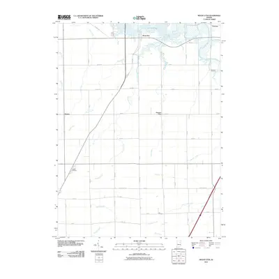
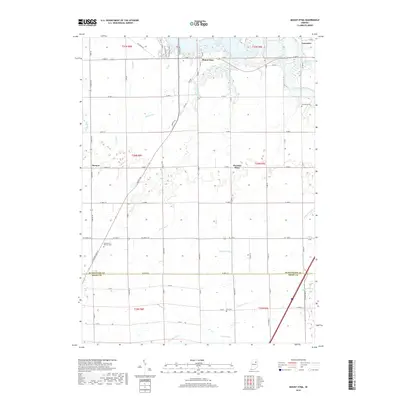
 2022 Mount Etna2022 Print · USGSThe rural border of Huntington and Grant counties is shown here in the 2020s, centered on the Salamonie Lake reservoir system. Family historians can pinpoint locations like Gardens of Memory Cem or trace the paths of Richland Cr and the Salamonie River.
End of results
Showing maps 1-11 of 11
Top cities near Mount Etna
- Marion historical maps
- Huntington historical maps
- Gas City historical maps
- Roanoke historical maps
- Warren historical maps
- Lancaster historical maps
See more
Frequently asked questions
- What are the different types of historical maps available for Mount Etna?
- What is the oldest map of Mount Etna?
- Where can I purchase historical maps of Mount Etna for my home or office?
- Where can I download high-res historical maps of Mount Etna?
- Are there historical topographic maps available for Mount Etna?
- Is there historical aerial imagery available for Mount Etna?
- Where are historical maps of Mount Etna sourced from?