Old Maps of Northwest Town, Indiana for Academic Research
Study the evolution of Northwest Town with 10 high-resolution historic maps. Whether you're teaching, researching, or modeling changes in land use, these maps provide essential visual documentation of urban, environmental, and geographic change.
- Analyze long-term change: Track patterns in development, transportation, and natural features.
- Ideal for environmental or urban studies: Support academic projects with primary historical map data.
- Use in the classroom or lab: Educators and researchers rely on these maps to bring historical context to life.
These maps are a powerful tool for teaching, research, and visualizing how Northwest Town has changed over the decades.
Northwest Town, IN maps
(10)- 1953 Map of Muncie, 1966 Print
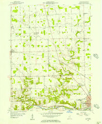
 1953 Muncie1966 Print · USGSIndiana and Ohio borderlands thrive in the early fifties, showing a landscape defined by manufacturing cities and an intensive railroad network. Genealogists can trace family roots across the Indiana-Ohio line through Muncie, Celina, and Portland via the Pennsylvania railroad.5 unique versions available
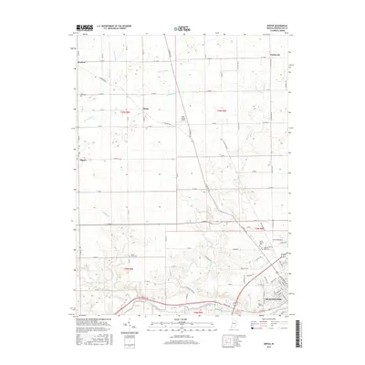
 - 1955 Map of Bippus, 1957 Print
 1955 Bippus1957 Print · USGSHuntington County's rural landscape is captured here in the mid-1950s as small farming communities and religious institutions defined the area. Researchers can trace historic cemeteries and schools like Clear Creek Center Sch or locate the sprawling grounds of the St Felix Monastery and Bippus.
 - 1956 Map of Muncie
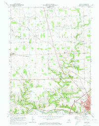
 1956 Muncie1956 Print · USGSEastern Indiana and western Ohio are shown at a peak of rail-driven industry in the mid-fifties. Genealogists and rail historians can trace the paths of the Pennsylvania RR through Muncie or locate landmarks like Lake Saint Marys (Grand Lake Reservoir) and Frances Slocum State Forest.
 - 1972 Map of Bippus, 1974 Print
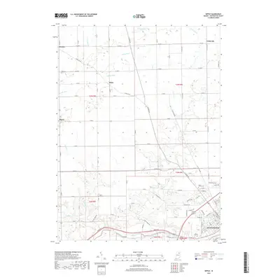
 1972 Bippus1974 Print · USGSHuntington County farmland and the northern reaches of the county seat are captured here in the early seventies as the region modernized. Genealogists and local historians can trace family locations near Bippus, St Peters Cem, and the Erie-Lackawanna rail line.
 - 1986 Map of Wabash
 1986 Wabash1986 Print · USGSThe Wabash Valley and surrounding Indiana farm country are captured here in the mid-eighties, showing a landscape reshaped by major reservoirs. Genealogists and local historians can trace the paths of the Old Indian Trail and the industrial reach of the Conrail line through towns like Lagro and Warren.2 unique versions available
 - 2010 Map of Bippus, 2010 Print
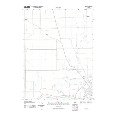 2010 Bippus2010 Print · USGSCovers Northwest Town, including Huntington, Goblesville, and other nearby areas
 - 2013 Map of Bippus, 2013 Print
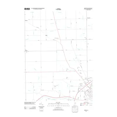 2013 Bippus2013 Print · USGSCovers Northwest Town, including Huntington, Goblesville, and other nearby areas
 - 2016 Map of Bippus, 2016 Print
 2016 Bippus2016 Print · USGSCovers Northwest Town, including Huntington, Goblesville, and other nearby areas
 - 2019 Map of Bippus, 2019 Print
 2019 Bippus2019 Print · USGSCovers Northwest Town, including Huntington, Goblesville, and other nearby areas
 - 2022 Map of Bippus, 2022 Print
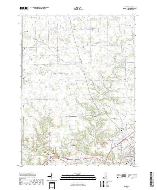 2022 Bippus2022 Print · USGSNorth of Huntington in the early 2020s, this region shows a landscape shaped by the Wabash River and rural crossroads settlements. Researchers can trace family history through sites like Funk Cem or explore the old rail-and-road hamlets of Bippus and Goblesville.
End of results
Showing maps 1-10 of 10
Top cities near Northwest Town
- Aboite historical maps
- Huntington historical maps
- Columbia City historical maps
- North Manchester historical maps
- South Whitley historical maps
- Roanoke historical maps
See more
Frequently asked questions
- What are the different types of historical maps available for Northwest Town?
- What is the oldest map of Northwest Town?
- Where can I purchase historical maps of Northwest Town for my home or office?
- Where can I download high-res historical maps of Northwest Town?
- Are there historical topographic maps available for Northwest Town?
- Is there historical aerial imagery available for Northwest Town?
- Where are historical maps of Northwest Town sourced from?