Old Maps of Bruceville, Indiana for Academic Research
Study the evolution of Bruceville with 12 high-resolution historic maps. Whether you're teaching, researching, or modeling changes in land use, these maps provide essential visual documentation of urban, environmental, and geographic change.
- Analyze long-term change: Track patterns in development, transportation, and natural features.
- Ideal for environmental or urban studies: Support academic projects with primary historical map data.
- Use in the classroom or lab: Educators and researchers rely on these maps to bring historical context to life.
These maps are a powerful tool for teaching, research, and visualizing how Bruceville has changed over the decades.
Bruceville, IN maps
(12)- 1943 Map of Oaktown
 1943 Oaktown1943 Print · USGSKnox County and the Illinois borderlands come alive in the early 1940s as steam-era railroads connect the farming communities of Oaktown and Bruceville. Local historians can trace family roots through numerous sites like Ocheltree Cem, Price Cem, and the Maria Creek Ch.2 unique versions available
 - 1956 Map of Vincennes, 1967 Print
 1956 Vincennes1967 Print · USGSSouthern Indiana and the Illinois borderlands are captured here in the mid-fifties, showing the region's dense network of river towns and rail lines. Researchers can trace historic river crossings along the Wabash River or locate landmarks like Wyandotte Cave and Lincoln State Park.4 unique versions available
 - 1957 Map of Vincennes
 1957 Vincennes1957 Print · USGSSouthwest Indiana and the Illinois borderlands come alive in the late 1950s, a period of heavy rail traffic and expanding state forests. Genealogists and historians can trace the riverfronts and rail lines of Vincennes, New Harmony, and the vast Crane Naval Ammunition Depot.
 - 1958 Map of Vincennes
 1958 Vincennes1958 Print · USGSSouthern Indiana and the Illinois borderlands are captured during a mid-century period of heavy rail traffic and military activity. Researchers can trace the sprawling bounds of the Crane Naval Ammunition Depot or locate historic settlements like New Harmony and French Lick.2 unique versions available
 - 1958 Map of Oaktown, 1959 Print
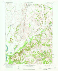 1958 Oaktown1959 Print · USGSKnox County, Indiana, at the end of the fifties reveals a landscape of established rail towns and rural cemeteries. Genealogists and local historians can locate Oaktown and Bruceville, while tracing family sites like Ocheltree Cem and the Maria Creek Ch.2 unique versions available
 - 1974 Map of Oaktown, 1975 Print
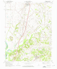 1974 Oaktown1975 Print · USGSKnox County agricultural life and transportation networks are well-defined in the mid-1970s. Genealogists and historians can trace family locations through rural burial sites like Ocheltree Cem and the school at North Knox West Sch.2 unique versions available
 - 1986 Map of Vincennes
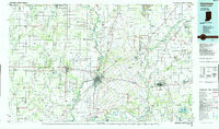 1986 Vincennes1986 Print · USGSThe Wabash River valley in the mid-1980s shows a landscape defined by deep-rooted river towns and heavy industry. Researchers can trace the legacy of regional rail lines like the Conrail system or locate landmarks such as Vincennes University and St Francisville Church.2 unique versions available
 - 2010 Map of Oaktown, 2010 Print
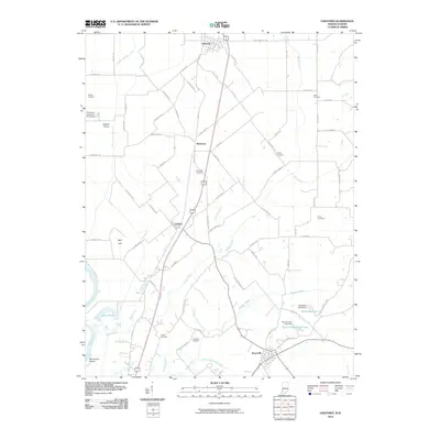 2010 Oaktown2010 Print · USGSKnox County agricultural life is captured here in the early twenty-first century, showing the rural landscape between Oaktown and Bruceville. Family historians can locate several burial sites including Ocheltree and Hoke, along with local landmarks like Green Airport.
 - 2013 Map of Oaktown, 2013 Print
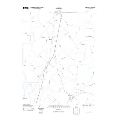 2013 Oaktown2013 Print · USGSKnox County in the early twenty-first century reveals a landscape defined by the Wabash River and its sprawling agricultural bottomlands. Researchers can trace rural developments around Oaktown, the drainage of Shaker Prairie, and the grounds of the Rod and Gun Club Lake.
 - 2016 Map of Oaktown, 2016 Print
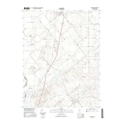 2016 Oaktown2016 Print · USGSKnox County, Indiana, is captured here in the mid-2010s, showing a landscape defined by the transition from Shaker Prairie to the interior uplands. Genealogists and local researchers can locate numerous family burial sites like Threlkeld Cem and Price Cem or trace the early foundations of Oaktown and Bruceville.
 - 2019 Map of Oaktown, 2019 Print
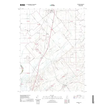 2019 Oaktown2019 Print · USGSKnox County agricultural life and rural townships are documented here in the late twenty-teens, from the prairie flats to the rolling stream valleys. Genealogists and local historians can trace family land near Oaktown and Emison, or locate burial sites like Charley Cem and Price Cem.
 - 2022 Map of Oaktown, 2022 Print
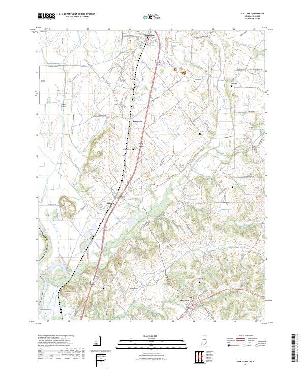 2022 Oaktown2022 Print · USGSKnox County, Indiana, is captured here in the early twenty-first century, showing a landscape of fertile prairies and traditional settlements. Researchers can trace family history through local sites like Charley Cem, Ocheltree Cem, and the village of Emison.
End of results
Showing maps 1-12 of 12
Top cities near Bruceville
- Vincennes historical maps
- Washington historical maps
- Bicknell historical maps
- Busseron historical maps
- Carlisle historical maps
- Oaktown historical maps
See more
Frequently asked questions
- What are the different types of historical maps available for Bruceville?
- What is the oldest map of Bruceville?
- Where can I purchase historical maps of Bruceville for my home or office?
- Where can I download high-res historical maps of Bruceville?
- Are there historical topographic maps available for Bruceville?
- Is there historical aerial imagery available for Bruceville?
- Where are historical maps of Bruceville sourced from?