2020s Maps of Edwardsport, Indiana
Explore 2 historic maps of Edwardsport from the 2020s. These maps offer a rare glimpse into what life looked like during the 2020s — showing old roads, neighborhoods, homes, and landmarks that have changed or disappeared over time.
Whether you're researching your family's past, planning a metal detecting trip, or studying how Edwardsport's landscape evolved across the 2020s, these high-resolution maps are a powerful tool for exploring the history of this region.
- Focus on a specific era: All maps on this page are from the 2020s, giving you a focused view of this time period.
- See what’s changed: Compare century-old streets, trails, and buildings to today's modern landscape using overlays and satellite layers.
- Research with precision: Use these maps for genealogy, historical research, land use analysis, or educational projects.
- View, download, or print: Maps are fully viewable online in high resolution, and can be downloaded or printed for your own records.
Start exploring Edwardsport's history through authentic maps from the 2020s. This is your window into the past.
Edwardsport, IN maps
(2)- 2022 Map of Plainville, 2022 Print
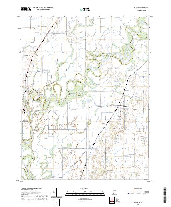 2022 Plainville2022 Print · USGSSouthern Indiana bottomlands along the White River come into focus in this recent survey of the border between Daviess and Knox counties. Researchers can trace the drainage of the fertile valley through features like Killion Canal, Plainville Cemetery, and Harbstreit Hill.
 - 2022 Map of Bicknell, 2022 Print
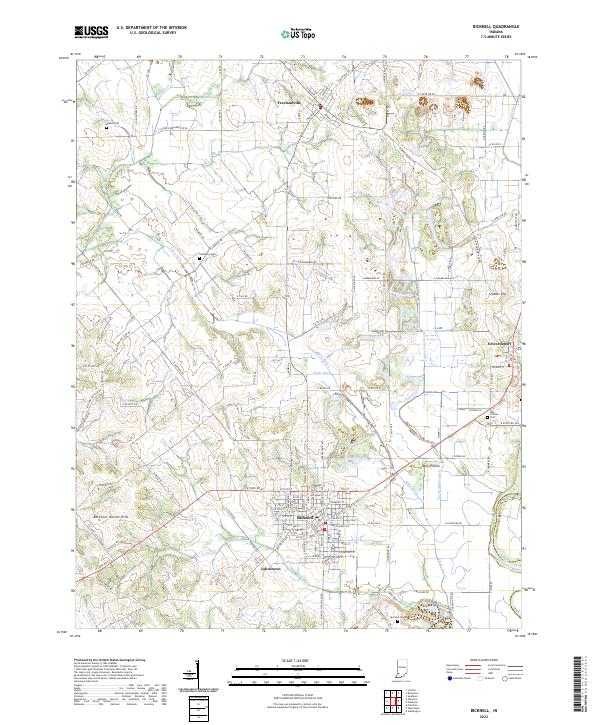 2022 Bicknell2022 Print · USGSThe northern reaches of Knox County come into focus in this contemporary survey of the Bicknell region. Family researchers can trace burial sites at Walker Cem and Odd Fellows Cem, or locate landmarks like Barefoot Nation Hills and the White River.
End of results
Showing maps 1-2 of 2
Top cities near Edwardsport
- Vincennes historical maps
- Washington historical maps
- Linton historical maps
- Bicknell historical maps
- Busseron historical maps
- Lyons historical maps
See more
Frequently asked questions
- What are the different types of historical maps available for Edwardsport?
- What is the oldest map of Edwardsport?
- Where can I purchase historical maps of Edwardsport for my home or office?
- Where can I download high-res historical maps of Edwardsport?
- Are there historical topographic maps available for Edwardsport?
- Is there historical aerial imagery available for Edwardsport?
- Where are historical maps of Edwardsport sourced from?