2000s (21st Century) Maps of Syracuse, Indiana
Explore 10 historic maps of Syracuse from the 2000s (21st Century). These maps offer a rare glimpse into what life looked like during the 2000s — showing old roads, neighborhoods, homes, and landmarks that have changed or disappeared over time.
Whether you're researching your family's past, planning a metal detecting trip, or studying how Syracuse's landscape evolved across the 2000s, these high-resolution maps are a powerful tool for exploring the history of this region.
- Focus on a specific era: All maps on this page are from the 2000s, giving you a focused view of this time period.
- See what’s changed: Compare century-old streets, trails, and buildings to today's modern landscape using overlays and satellite layers.
- Research with precision: Use these maps for genealogy, historical research, land use analysis, or educational projects.
- View, download, or print: Maps are fully viewable online in high resolution, and can be downloaded or printed for your own records.
Start exploring Syracuse's history through authentic maps from the 2000s. This is your window into the past.
Syracuse, IN maps
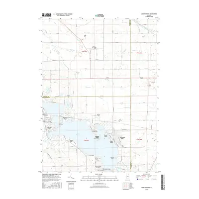
(10)- 2010 Map of Lake Wawasee, 2010 Print
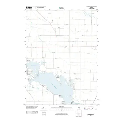 2010 Lake Wawasee2010 Print · USGSCovers Syracuse, including Oakwood Park, Grismore, and other nearby areas
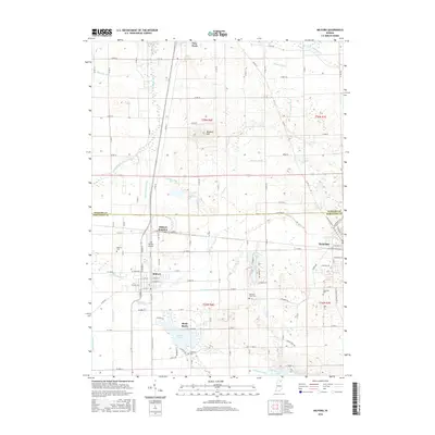
 - 2010 Map of Milford, 2010 Print
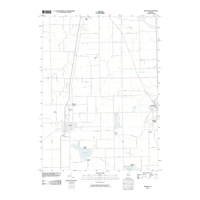 2010 Milford2010 Print · USGSCovers Syracuse, including Milford, Redmon Park, and other nearby areas
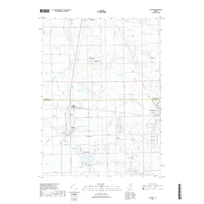
 - 2013 Map of Milford, 2013 Print
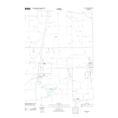 2013 Milford2013 Print · USGSCovers Syracuse, including Milford, Redmon Park, and other nearby areas
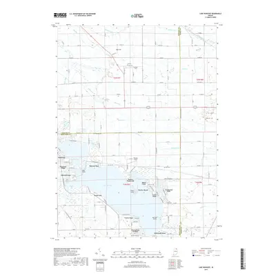
 - 2013 Map of Lake Wawasee, 2013 Print
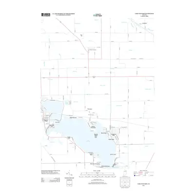 2013 Lake Wawasee2013 Print · USGSCovers Syracuse, including Oakwood Park, Grismore, and other nearby areas
 - 2016 Map of Lake Wawasee, 2016 Print
 2016 Lake Wawasee2016 Print · USGSCovers Syracuse, including Oakwood Park, Grismore, and other nearby areas
 - 2016 Map of Milford, 2016 Print
 2016 Milford2016 Print · USGSCovers Syracuse, including Milford, Redmon Park, and other nearby areas
 - 2019 Map of Milford, 2019 Print
 2019 Milford2019 Print · USGSCovers Syracuse, including Milford, Redmon Park, and other nearby areas
 - 2019 Map of Lake Wawasee, 2019 Print
 2019 Lake Wawasee2019 Print · USGSCovers Syracuse, including Oakwood Park, Grismore, and other nearby areas
 - 2022 Map of Lake Wawasee, 2022 Print
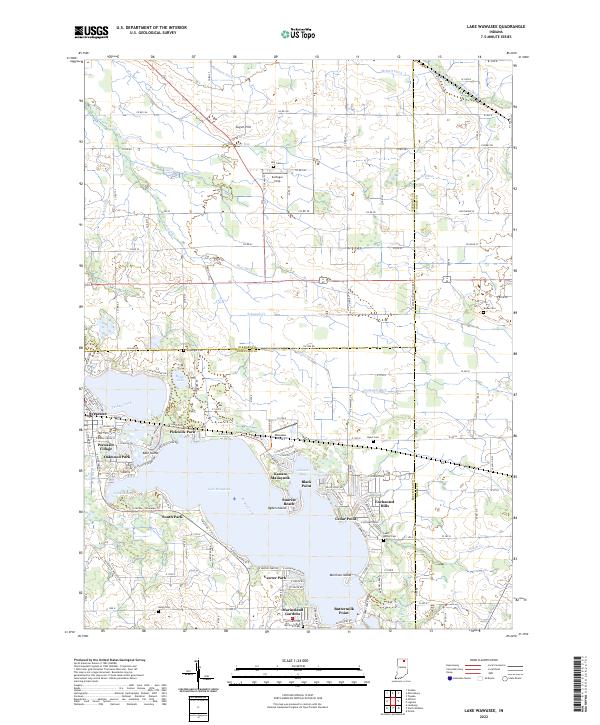 2022 Lake Wawasee2022 Print · USGSKosciusko County’s lakeside life and rural townships are captured here in the early 2020s, centered on the expansive waters of Lake Wawasee. Researchers can locate family sites at McClintic Cem or trace the development of historic neighborhoods like Vawter Park and Syracuse.
 - 2022 Map of Milford, 2022 Print
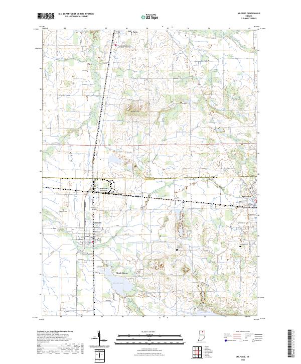 2022 Milford2022 Print · USGSThe lakeside communities and farming townships of northern Indiana are captured here in the early 2020s. Genealogists and researchers can trace family plots at Milford Cem or follow the Norfolk Southern rail lines through Milford Junction and Syracuse.
End of results
Showing maps 1-10 of 10
Top cities near Syracuse
- Elkhart historical maps
- Goshen historical maps
- Warsaw historical maps
- Nappanee historical maps
- Ligonier historical maps
- Winona Lake historical maps
See more
Top neighborhoods of Syracuse
Frequently asked questions
- What are the different types of historical maps available for Syracuse?
- What is the oldest map of Syracuse?
- Where can I purchase historical maps of Syracuse for my home or office?
- Where can I download high-res historical maps of Syracuse?
- Are there historical topographic maps available for Syracuse?
- Is there historical aerial imagery available for Syracuse?
- Where are historical maps of Syracuse sourced from?