Old Maps of Syracuse, Indiana for Metal Detecting
Plan your next treasure hunt with 18 historic maps of Syracuse. Find old homesites, ghost towns, trails, and gathering spots that may be lost to time — perfect for identifying promising metal detecting locations.
- Locate forgotten sites: Uncover places like long-lost settlements, abandoned rail lines, or gathering spots.
- Plan better hunts: Use map overlays combined with LiDAR or satellite views to narrow in on historically rich areas.
- Made for detectorists: Thousands of hobbyists use these maps to discover relics, coins, and hidden history.
Use these historic maps to boost your research and find new opportunities beneath the surface of Syracuse.
Syracuse, IN maps
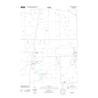
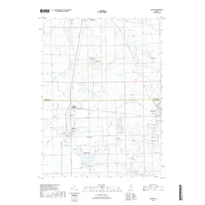
(18)- 1951 Map of Milford
 1951 Milford1951 Print · USGSKosciusko and Elkhart counties are captured in the early fifties at a peak of rail activity and lakeside development. Genealogists and rail historians can trace the crossing of three major lines at Milford Junction or locate family sites like Pleasant View Cem Ch and Bethany Sch.2 unique versions available
 - 1951 Map of Wawasee
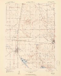
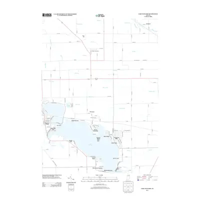
 1951 Wawasee1951 Print · USGSKosciusko and Noble counties are captured here in the early fifties, showing the vibrant lakeside communities and rural townships. Genealogists can trace family landmarks and early schools like Judy School, Weybright Cem, and the Zion Church near the town of Syracuse.2 unique versions available
 - 1953 Map of Fort Wayne, 1963 Print
 1953 Fort Wayne1963 Print · USGSNortheast Indiana and its neighboring borderlands in Michigan and Ohio appear here during a peak era of rail and road expansion. Researchers can trace the massive rail networks of the Nickel Plate Road and Wabash or locate lakeside landmarks like Lake Wawasee and Clear Lake.4 unique versions available
 - 1956 Map of Fort Wayne
 1956 Fort Wayne1956 Print · USGSThe tri-state borderlands of Indiana, Michigan, and Ohio are captured here in the mid-fifties, centered on the growing industrial hub of Fort Wayne. Researchers can trace the heavy rail lines of the New York Central and Pennsylvania alongside prominent water features like Lake Wawasee and the Maumee River.2 unique versions available
 - 1961 Map of Lake Wawasee, 1963 Print
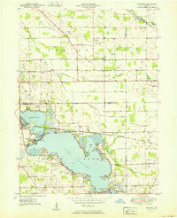
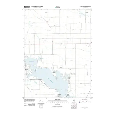
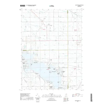
 1961 Lake Wawasee1963 Print · USGSKosciusko County lakelife in the early sixties centers on Lake Wawasee and its surrounding communities. Researchers can trace family history through sites like Hire Cemetery, Juday School, and the lakeside settlements of Vawter Park and Pickwick Park.3 unique versions available
 - 1962 Map of Milford, 1963 Print
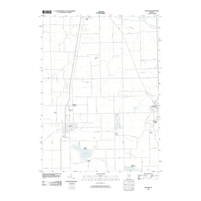
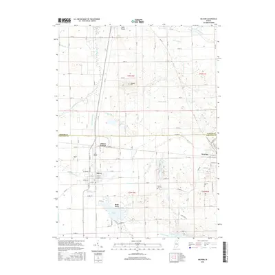
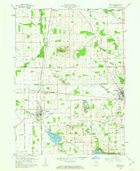 1962 Milford1963 Print · USGSNorthern Indiana's rail and river networks are in full view during the early sixties, centered on the crossing of major lines. Genealogists and local historians can trace the locations of Milford Cem, Bethany Sch, and family sites near Wabee Lake.3 unique versions available
 - 1984 Map of Fort Wayne, 1985 Print
 1984 Fort Wayne1985 Print · USGSNortheast Indiana in the mid-1980s reveals a complex landscape of glacial lakes, thriving college towns, and heavy rail infrastructure. Researchers can trace the development of Winona Lake, locate Manchester College in North Manchester, and find rural landmarks like Oakwood Cem or the Tri-County State Fish and Game Area.
 - 1994 Map of Fort Wayne
 1994 Fort Wayne1994 Print · USGSNortheast Indiana in the mid-nineties shows a landscape deeply tied to its glacial lakes and early rail networks. Genealogists and historians can trace old transit lines like the Old Ind RR and explore lakeside settlements such as Enchanted Hills and Syracuse.
 - 2010 Map of Lake Wawasee, 2010 Print
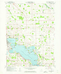
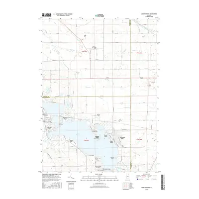
 2010 Lake Wawasee2010 Print · USGSCovers Syracuse, including Oakwood Park, Grismore, and other nearby areas
 - 2010 Map of Milford, 2010 Print
 2010 Milford2010 Print · USGSCovers Syracuse, including Milford, Redmon Park, and other nearby areas
 - 2013 Map of Milford, 2013 Print
 2013 Milford2013 Print · USGSCovers Syracuse, including Milford, Redmon Park, and other nearby areas
 - 2013 Map of Lake Wawasee, 2013 Print
 2013 Lake Wawasee2013 Print · USGSCovers Syracuse, including Oakwood Park, Grismore, and other nearby areas
 - 2016 Map of Lake Wawasee, 2016 Print
 2016 Lake Wawasee2016 Print · USGSCovers Syracuse, including Oakwood Park, Grismore, and other nearby areas
 - 2016 Map of Milford, 2016 Print
 2016 Milford2016 Print · USGSCovers Syracuse, including Milford, Redmon Park, and other nearby areas
 - 2019 Map of Milford, 2019 Print
 2019 Milford2019 Print · USGSCovers Syracuse, including Milford, Redmon Park, and other nearby areas
 - 2019 Map of Lake Wawasee, 2019 Print
 2019 Lake Wawasee2019 Print · USGSCovers Syracuse, including Oakwood Park, Grismore, and other nearby areas
 - 2022 Map of Lake Wawasee, 2022 Print
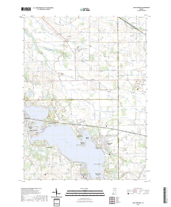 2022 Lake Wawasee2022 Print · USGSKosciusko County’s lakeside life and rural townships are captured here in the early 2020s, centered on the expansive waters of Lake Wawasee. Researchers can locate family sites at McClintic Cem or trace the development of historic neighborhoods like Vawter Park and Syracuse.
 - 2022 Map of Milford, 2022 Print
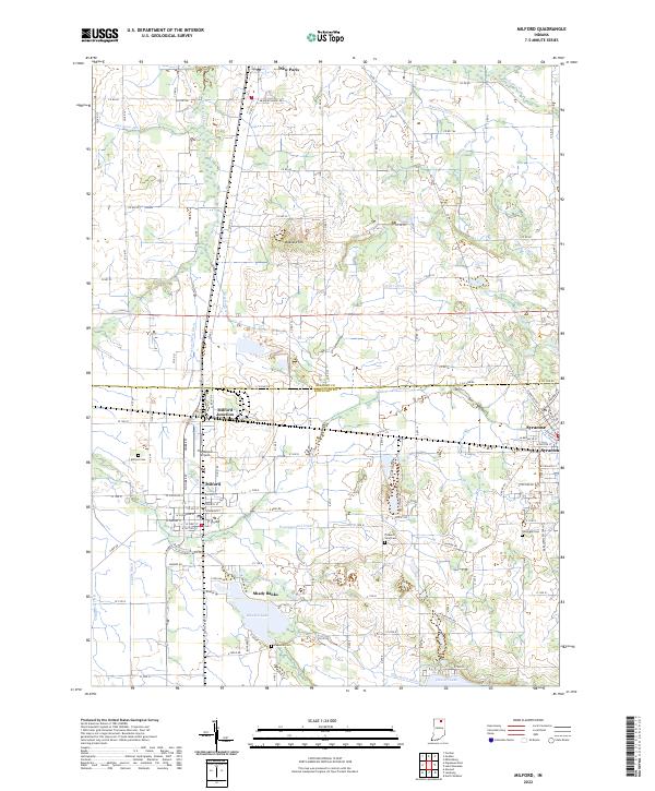 2022 Milford2022 Print · USGSThe lakeside communities and farming townships of northern Indiana are captured here in the early 2020s. Genealogists and researchers can trace family plots at Milford Cem or follow the Norfolk Southern rail lines through Milford Junction and Syracuse.
End of results
Showing maps 1-18 of 18
Top cities near Syracuse
- Elkhart historical maps
- Goshen historical maps
- Warsaw historical maps
- Nappanee historical maps
- Ligonier historical maps
- Winona Lake historical maps
See more
Top neighborhoods of Syracuse
Frequently asked questions
- What are the different types of historical maps available for Syracuse?
- What is the oldest map of Syracuse?
- Where can I purchase historical maps of Syracuse for my home or office?
- Where can I download high-res historical maps of Syracuse?
- Are there historical topographic maps available for Syracuse?
- Is there historical aerial imagery available for Syracuse?
- Where are historical maps of Syracuse sourced from?