Old Maps of Star Mill, Indiana for Academic Research
Study the evolution of Star Mill with 11 high-resolution historic maps. Whether you're teaching, researching, or modeling changes in land use, these maps provide essential visual documentation of urban, environmental, and geographic change.
- Analyze long-term change: Track patterns in development, transportation, and natural features.
- Ideal for environmental or urban studies: Support academic projects with primary historical map data.
- Use in the classroom or lab: Educators and researchers rely on these maps to bring historical context to life.
These maps are a powerful tool for teaching, research, and visualizing how Star Mill has changed over the decades.
Star Mill, IN maps
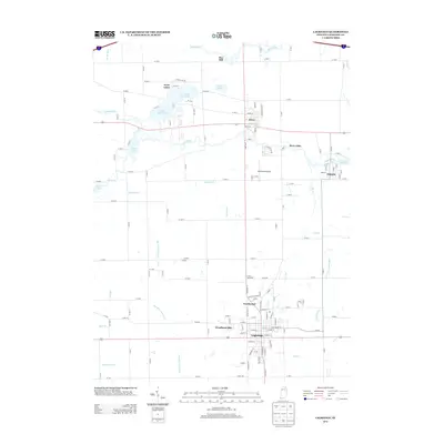
(11)- 1947 Map of Lagrange
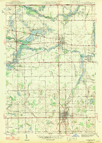 1947 Lagrange1947 Print · USGSLaGrange and the surrounding Indiana townships are captured in the late 1940s, showing a landscape of river-fed agriculture and established rail lines. Genealogists can trace family landmarks like the Howe Military Sch, Hoagland Cem, and the Star Mill site.2 unique versions available
 - 1953 Map of Fort Wayne, 1963 Print
 1953 Fort Wayne1963 Print · USGSNortheast Indiana and its neighboring borderlands in Michigan and Ohio appear here during a peak era of rail and road expansion. Researchers can trace the massive rail networks of the Nickel Plate Road and Wabash or locate lakeside landmarks like Lake Wawasee and Clear Lake.4 unique versions available
 - 1956 Map of Fort Wayne
 1956 Fort Wayne1956 Print · USGSThe tri-state borderlands of Indiana, Michigan, and Ohio are captured here in the mid-fifties, centered on the growing industrial hub of Fort Wayne. Researchers can trace the heavy rail lines of the New York Central and Pennsylvania alongside prominent water features like Lake Wawasee and the Maumee River.2 unique versions available
 - 1960 Map of Lagrange, 1961 Print
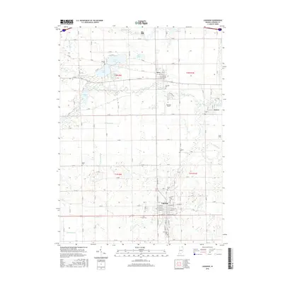
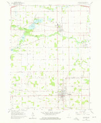 1960 Lagrange1961 Print · USGSThe Indiana lake country comes into focus in 1960 as the Lagrange county seat and the Howe Military Sch anchor the local landscape. Researchers can trace the mid-century community via Star Mill, rural schoolhouses like Green Sch, and family sites at Hoagland Cem.3 unique versions available
 - 1985 Map of Elkhart
 1985 Elkhart1985 Print · USGSThe Indiana-Michigan borderlands come into focus in the mid-1980s, showcasing the industrial rail hubs and rural agricultural townships of the St. Joseph valley. Genealogists and historians can trace the growth of Elkhart, Goshen, and Three Rivers, or locate smaller communities like Middlebury and White Pigeon.2 unique versions available
 - 1993 Map of Lagrange
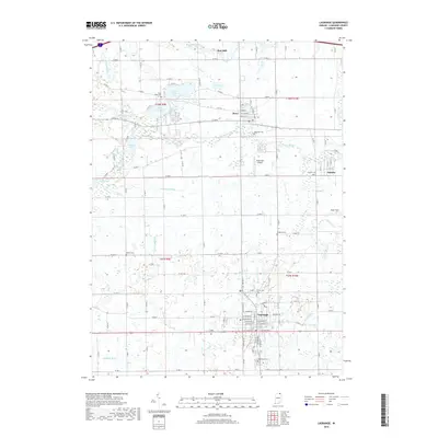
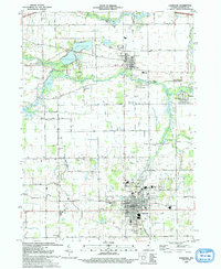 1993 Lagrange1993 Print · USGSLagrange and the village of Howe are captured in the early nineties as the region balanced its educational centers and agricultural roots. Trace local history through landmarks like the Howe Military Academy, the historic Star Mill, and several country schools like Mapel Grove Sch.
 - 2010 Map of Lagrange, 2010 Print
 2010 Lagrange2010 Print · USGSCovers Star Mill, including LaGrange, Lagrange, and other nearby areas
 - 2013 Map of Lagrange, 2013 Print
 2013 Lagrange2013 Print · USGSCovers Star Mill, including LaGrange, Lagrange, and other nearby areas
 - 2016 Map of Lagrange, 2016 Print
 2016 Lagrange2016 Print · USGSCovers Star Mill, including LaGrange, Lagrange, and other nearby areas
 - 2019 Map of Lagrange, 2019 Print
 2019 Lagrange2019 Print · USGSCovers Star Mill, including LaGrange, Lagrange, and other nearby areas
 - 2022 Map of Lagrange, 2022 Print
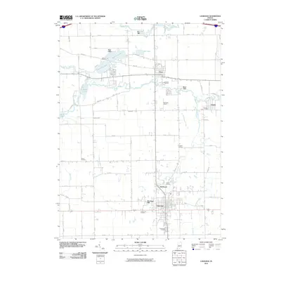
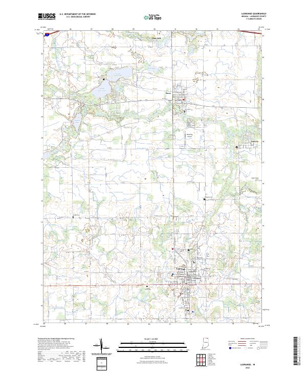 2022 Lagrange2022 Print · USGSLaGrange County's seat and the surrounding rural townships are shown in the early 2020s, a landscape of fertile plains and intricate waterways. Trace local lineages and landmarks from the LaGrange County Courthouse to Riverside Cem or the namesake Star Mill on the river.
End of results
Showing maps 1-11 of 11
Top cities near Star Mill
- Sturgis historical maps
- Three Rivers historical maps
- Nottawa historical maps
- Lagrange historical maps
- LaGrange historical maps
- Constantine historical maps
See more
Frequently asked questions
- What are the different types of historical maps available for Star Mill?
- What is the oldest map of Star Mill?
- Where can I purchase historical maps of Star Mill for my home or office?
- Where can I download high-res historical maps of Star Mill?
- Are there historical topographic maps available for Star Mill?
- Is there historical aerial imagery available for Star Mill?
- Where are historical maps of Star Mill sourced from?