Old Maps of Gary, Indiana for Academic Research
Study the evolution of Gary with 49 high-resolution historic maps. Whether you're teaching, researching, or modeling changes in land use, these maps provide essential visual documentation of urban, environmental, and geographic change.
- Analyze long-term change: Track patterns in development, transportation, and natural features.
- Ideal for environmental or urban studies: Support academic projects with primary historical map data.
- Use in the classroom or lab: Educators and researchers rely on these maps to bring historical context to life.
These maps are a powerful tool for teaching, research, and visualizing how Gary has changed over the decades.
Gary, IN maps
(49)- 1900 Map of Toleston
 1900 Toleston1900 Print · USGSLake County was a booming industrial and transit corridor at the end of the nineteenth century. Researchers can trace the early footprints of Whiting and East Chicago, and locate vanished or evolved rail stops like Clarke Station and Aetna.6 unique versions available
 - 1934 Map of Porter
 1934 Porter1934 Print · USGSThe Indiana shoreline of the mid-1930s is mapped here in detail, from the sands of Indiana Dunes State Park to the rail hubs of Chesterton. Trace local family history through sites like the Seven Dolors Shrine, Liberty Center Sch, and the Mc Cool Emergency Landing Field.
 - 1940 Map of Porter
 1940 Porter1940 Print · USGSPorter County's industrial and shoreline heritage is captured here in the years before World War II. Researchers can locate early lakefront settlements like Baillytown or trace the routes of the Wabash and Pere Marquette railroads past Tratebas Mill.3 unique versions available
 - 1953 Map of Gary, 1955 Print
 1953 Gary1955 Print · USGSMid-century Gary and the Calumet region are captured here during a peak era of industrial and suburban growth. Researchers can trace family roots through dozens of local landmarks like Holy Angels Sch, Oak Hill Cemetery, and the Miller neighborhood.
 - 1953 Map of Whiting, 1955 Print
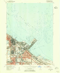 1953 Whiting1955 Print · USGSThe industrial heart of the Calumet Region is captured here in the early fifties during its manufacturing peak. Genealogists and historians can locate neighborhood landmarks like St Joseph College, St Catherine Hospital, and the vast Oil Refinery works.
 - 1953 Map of Garyton, 1955 Print
 1953 Garyton1955 Print · USGSNorthwest Indiana's dunes and rail corridors are captured here during the mid-fifties industrial boom. Researchers can trace historic family burial sites at Calvary Cemetery and Jaynes Cem or locate early community hubs like the Seven Dolors Shrine and Portage Central Sch.
 - 1953 Map of Highland, 1955 Print
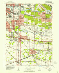 1953 Highland1955 Print · USGSNorthwest Indiana during the industrial expansion of the 1950s shows a landscape of growing suburbs and massive rail infrastructure. Genealogists and historians can trace neighborhood development near Purdue University, Ridgelawn Cemetery, and the Holy Rosary Ch.
 - 1953 Map of Chicago, 1964 Print
 1953 Chicago1964 Print · USGSThe southern Lake Michigan shoreline was rapidly modernizing in the mid-fifties, balancing heavy industry with its famous academic centers. Researchers can trace the footprints of Notre Dame University or locate vanished sites like the Kingsbury Ordnance Plant and Meigs Field.5 unique versions available
 - 1957 Map of Chicago
 1957 Chicago1957 Print · USGSThe industrial heartland and southern Great Lakes shoreline are captured here during the peak of mid-century growth. Researchers can trace the massive Gary Steel Works, the grounds of the University of Notre Dame, and the early paths of the Tri-State Tollway.
 - 1959 Map of Gary, 1961 Print
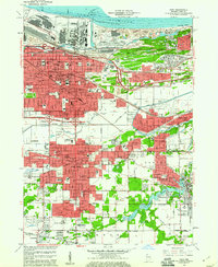 1959 Gary1961 Print · USGSSteel industry and heavy rail dominated this Lake Michigan shoreline in the late fifties as neighborhoods grew around the factories. Genealogists and researchers can trace the development of early Gary and Hobart through local landmarks like Oak Hill Cemetery, Andrean High Sch, and Liverpool.
 - 1959 Map of Highland, 1961 Print
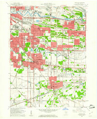 1959 Highland1961 Print · USGSNorthwest Indiana's industrial and residential expansion is on full display in this mid-century survey of the Calumet region. Researchers can trace the development of suburban blocks near Highland and Griffith alongside landmarks like Gary Municipal Airport and Wicker Park.
 - 1960 Map of Portage, 1961 Print
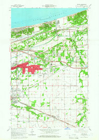 1960 Portage1961 Print · USGSPorter County's lakefront and industrial heartland are captured here during the post-war boom. Genealogists and historians can trace family-named sites like Robbins Cem and Blake Cem or the development of Garyton and Ogden Dunes along the rails.2 unique versions available
 - 1960 Map of Whiting, 1962 Print
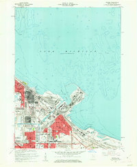 1960 Whiting1962 Print · USGSThe industrial shoreline of Lake Michigan comes alive in the early sixties, showing the heavy infrastructure of the Indiana steel and oil corridor. Genealogists and local historians can trace neighborhood developments near Mark Town, St Marys Sch, and the extensive Oil Reservoirs of the era.
 - 1968 Map of Whiting, 1970 Print
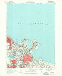 1968 Whiting1970 Print · USGSIndiana’s industrial lakefront thrives in the late sixties as a powerhouse of rail and maritime commerce. Trace family roots and local landmarks from Whiting to East Chicago, including St Catherines Hospital and the Penn Central rail lines.2 unique versions available
 - 1968 Map of Portage, 1970 Print
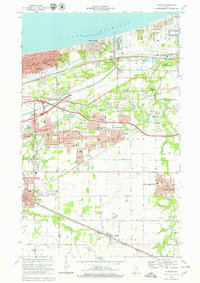 1968 Portage1970 Print · USGSThe Indiana shoreline and its industrial heartland come alive in this late 1960s survey of the dunes and rail corridors. Genealogists and local historians can locate several family landmarks and community anchors like Calvary Cemetery, Seven Dolors Shrine, and Lake Station.4 unique versions available
 - 1968 Map of Gary, 1970 Print
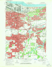 1968 Gary1970 Print · USGSSteel and rail defined the Indiana lakefront in the late sixties as neighborhoods expanded south from Lake Michigan. Genealogists can locate family homes and landmarks like Oak Hill Cemetery, Sacred Heart Sch, and the Indiana Harbor Belt rail lines.3 unique versions available
 - 1968 Map of Highland, 1971 Print
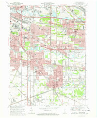 1968 Highland1971 Print · USGSNorthwest Indiana during the late sixties shows a dense network of rail lines and early interstate highways connecting growing industrial suburbs. Genealogists and historians can trace numerous community landmarks from St Marys Cem to the Purdue University (Calumet Center).3 unique versions available
 - 1980 Map of Chicago
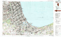 1980 Chicago1980 Print · USGSThe Chicago metropolitan area and the industrial shores of Northwest Indiana are captured here at the start of the 1980s. Genealogists and local historians can trace the vast urban landscape through landmarks like Loyola University, St Casimir Cemetery, and the busy docks of Calumet Harbor.
 - 1991 Map of Gary
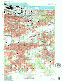 1991 Gary1991 Print · USGSThe industrial heart of Northwest Indiana is captured here as the lakefront industrial complexes neighbor the Indiana Dunes National Lakeshore. Researchers can trace neighborhood evolution and family roots through dozens of local sites like Oak Hill Cemetery, Froebel Sch, and the Salvatorian Fathers Monastery.2 unique versions available
 - 1991 Map of Highland, 1992 Print
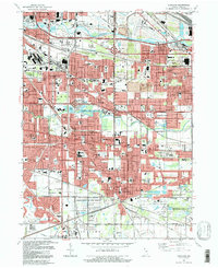 1991 Highland1992 Print · USGSThe industrial heart of Lake County meets preserved nature in the early nineties, showing the dense growth of Highland and Griffith. Genealogists and historians can trace numerous parish sites and cemeteries like St Marys Cem or locate the Purdue University Calumet Center.
 - 1991 Map of Whiting, 1992 Print
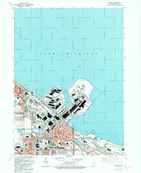 1991 Whiting1992 Print · USGSThe industrial heart of Northwest Indiana is captured in the early nineties, showing the massive harbor complexes and rail yards of the Lake Michigan shoreline. Genealogists and local historians can trace the neighborhoods around Whiting and East Chicago, locating landmarks like St Catherine Hospital and Mark Town Park.
 - 1992 Map of Portage
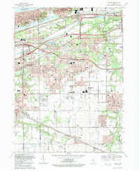 1992 Portage1992 Print · USGSNear the Indiana shoreline in the early 1990s, the landscape of Portage shows a dense mesh of heavy industry and suburban expansion. Genealogists can locate several local burial sites such as Calvary Cemetery and McCool Cem, alongside the rails of the CONRAIL and CSX TRANSPORTATION.
 - 1998 Map of Whiting, 2001 Print
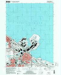 1998 Whiting2001 Print · USGSThe industrial shoreline of Lake Michigan comes alive in the late nineties, showcasing the massive steel and oil works of Northwest Indiana. Genealogists and urban historians can trace neighborhood landmarks from St Catherine Hospital to the Indiana Harbor Belt RR.
 - 1998 Map of Highland, 2001 Print
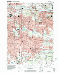 1998 Highland2001 Print · USGSNorthwest Indiana at the close of the twentieth century shows a landscape defined by heavy industry and suburban expansion. Researchers can trace neighborhood growth through dozens of local landmarks like Wicker Park, Ridgelawn Cemetery, and Purdue University Calumet Center.
 - 2010 Map of Whiting, 2010 Print
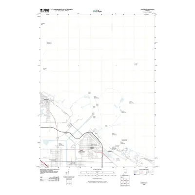 2010 Whiting2010 Print · USGSCoastal Lake County at the turn of the 21st century reveals a landscape defined by heavy industry and maritime commerce. Trace the complex canal systems and harbor lights near Whiting and East Chicago, or locate landmarks like the Indiana University Calumet Center.
Showing maps 1-25 of 49
Top cities near Gary
- Chicago historical maps
- Hammond historical maps
- Portage historical maps
- Calumet City historical maps
- Valparaiso historical maps
- Merrillville historical maps
See more
Top neighborhoods of Gary
- Miller Beach historical maps
- Pine historical maps
- Glen Park historical maps
- Tolleston historical maps
- Midtown historical maps
- Pulaski historical maps
See more
Frequently asked questions
- What are the different types of historical maps available for Gary?
- What is the oldest map of Gary?
- Where can I purchase historical maps of Gary for my home or office?
- Where can I download high-res historical maps of Gary?
- Are there historical topographic maps available for Gary?
- Is there historical aerial imagery available for Gary?
- Where are historical maps of Gary sourced from?