Old Maps of Eagle Creek Township, Indiana for Metal Detecting
Plan your next treasure hunt with 34 historic maps of Eagle Creek Township. Find old homesites, ghost towns, trails, and gathering spots that may be lost to time — perfect for identifying promising metal detecting locations.
- Locate forgotten sites: Uncover places like long-lost settlements, abandoned rail lines, or gathering spots.
- Plan better hunts: Use map overlays combined with LiDAR or satellite views to narrow in on historically rich areas.
- Made for detectorists: Thousands of hobbyists use these maps to discover relics, coins, and hidden history.
Use these historic maps to boost your research and find new opportunities beneath the surface of Eagle Creek Township.
Eagle Creek Township, IN maps
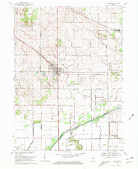
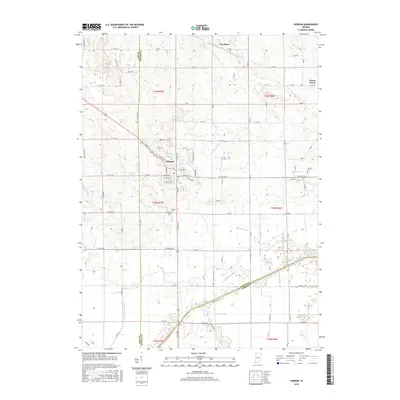
(34)- 1953 Map of Leroy, 1955 Print
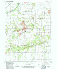
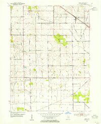 1953 Leroy1955 Print · USGSSouthern Lake County's agricultural heartland is captured here in the early 1950s as a complex system of drainage ditches reclaimed the prairie. Researchers can pinpoint long-standing landmarks including Leroy, the Riley Sch, and Plum Grove Cem.
 - 1953 Map of Hebron, 1955 Print
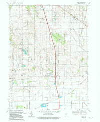
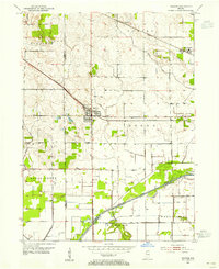 1953 Hebron1955 Print · USGSPorter County in the early 1950s is defined by its rail-linked small towns and the managed waters of the Kankakee basin. Genealogists and local historians can trace the early layout of Hebron, explore rural Boone Grove, or locate family sites at Hebron Cem.
 - 1953 Map of Chicago, 1964 Print
 1953 Chicago1964 Print · USGSThe southern Lake Michigan shoreline was rapidly modernizing in the mid-fifties, balancing heavy industry with its famous academic centers. Researchers can trace the footprints of Notre Dame University or locate vanished sites like the Kingsbury Ordnance Plant and Meigs Field.5 unique versions available
 - 1957 Map of Chicago
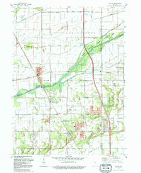
 1957 Chicago1957 Print · USGSThe industrial heartland and southern Great Lakes shoreline are captured here during the peak of mid-century growth. Researchers can trace the massive Gary Steel Works, the grounds of the University of Notre Dame, and the early paths of the Tri-State Tollway.
 - 1957 Map of DeMotte, 1959 Print
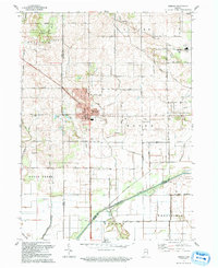
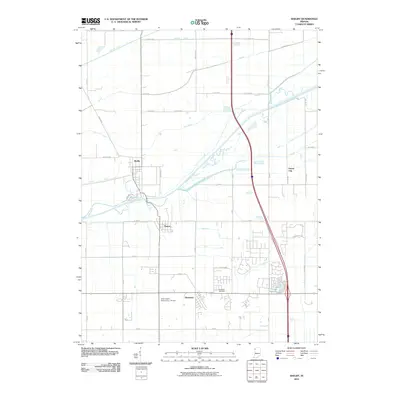
 1957 DeMotte1959 Print · USGSJasper County agricultural life in the late fifties is centered around the New York Central rail line. Researchers can trace family-named roads like Bosma and Schatzley or locate early rural hubs such as Demotte, Kniman, and Kersey.3 unique versions available
 - 1959 Map of Shelby, 1960 Print
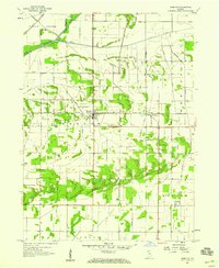
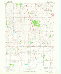
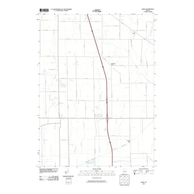
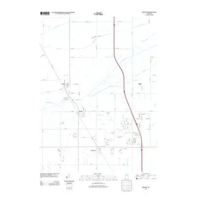
 1959 Shelby1960 Print · USGSThe Kankakee River valley at the turn of the 1960s was a landscape defined by rail and reclamation. Researchers can trace the Monon line through Shelby and Thayer or locate local landmarks like the Landing Strip and the Singleton Ditch.2 unique versions available
 - 1969 Map of Hebron, 1971 Print
 1969 Hebron1971 Print · USGSPorter County is shown during a period of agricultural expansion in the late sixties, as drainage projects reshaped the land. Genealogists can trace family footprints at Hebron Cem or follow the historic rail corridors of the Penn Central and Erie-Lackawanna.2 unique versions available
 - 1969 Map of Leroy, 1971 Print
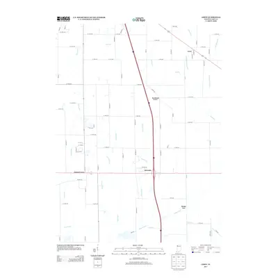
 1969 Leroy1971 Print · USGSSouthern Lake County in the late sixties shows a landscape defined by rail lines and drainage canals. Trace rural ancestry at Plum Grove Cem or locate the old Center Sch and the community of Orchard Grove.2 unique versions available
 - 1984 Map of Kankakee, 1985 Print
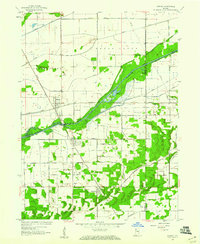
 1984 Kankakee1985 Print · USGSThe Illinois-Indiana borderlands appear here in the early eighties as a landscape of river-centered towns and vast managed wetlands. Genealogists and local historians can trace the grounds of the Kankakee State Hospital, the campus of Olivet Nazarene College, and the sprawling Beaver Lake Wildlife Refuge.
 - 1991 Map of Kankakee
 1991 Kankakee1991 Print · USGSThe Illinois-Indiana borderlands come into focus during the early nineties, centered on the growing Kankakee valley and its sprawling drainage systems. Trace the rail-and-river economy through landmarks like the Wilton Railroad Grade, the Manteno State Hospital, and the historic Old Pioneer Cem.
 - 1992 Map of Shelby
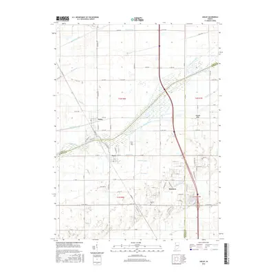
 1992 Shelby1992 Print · USGSNorthwestern Indiana's river-and-rail corridor is captured here in the early nineties, showing the managed wetlands of the Kankakee valley. Genealogists and local historians can trace the foundations of Shelby, Roselawn, and the Monon RR line that once drove the local economy.
 - 1992 Map of Hebron
 1992 Hebron1992 Print · USGSPorter County in the early nineties shows a landscape of established rail towns and extensive drainage projects. Genealogists and local historians can trace the Old Railroad Grade through Hebron or locate family plots at Hebron Cem and Cornell Cem.
 - 1992 Map of De Motte
 1992 De Motte1992 Print · USGSJasper County is captured here in the early nineties, showing the organized drainage and agricultural growth surrounding DeMotte. Researchers can trace local lineage through several sites like the Holland Cem, Kniman, and the Cem of the Resurrection.
 - 1992 Map of Leroy
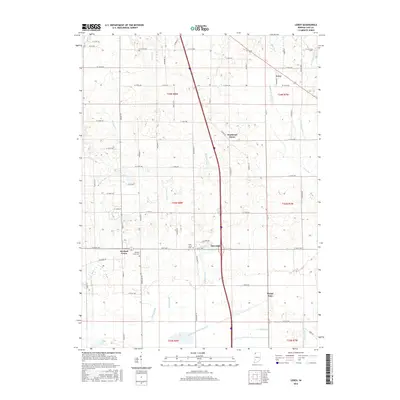
 1992 Leroy1992 Print · USGSLake County agriculture and small-town settlements are captured here in the early nineties, revealing a landscape of managed waterways and historic groves. Genealogists can locate family sites at Plum Grove Cem, the old village of Leroy, and Rangeline Ch.
 - 2010 Map of DeMotte, 2010 Print
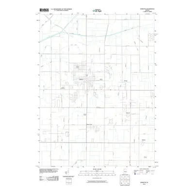 2010 DeMotte2010 Print · USGSCovers Eagle Creek Township, including Kersey, DeMotte, and other nearby areas
 - 2010 Map of Hebron, 2010 Print
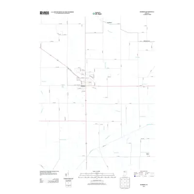
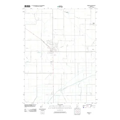 2010 Hebron2010 Print · USGSCovers Eagle Creek Township, including Hebron, Boone Grove, and other nearby areas
 - 2010 Map of Leroy, 2010 Print
 2010 Leroy2010 Print · USGSCovers Eagle Creek Township, including Crown Point, Dinwiddie, and other nearby areas
 - 2010 Map of Shelby, 2010 Print
 2010 Shelby2010 Print · USGSCovers Eagle Creek Township, including Shelby, Forest City, and other nearby areas
 - 2013 Map of Hebron, 2013 Print
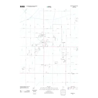
 2013 Hebron2013 Print · USGSCovers Eagle Creek Township, including Hebron, Boone Grove, and other nearby areas
 - 2013 Map of DeMotte, 2013 Print
 2013 DeMotte2013 Print · USGSCovers Eagle Creek Township, including Kersey, DeMotte, and other nearby areas
 - 2013 Map of Leroy, 2013 Print
 2013 Leroy2013 Print · USGSCovers Eagle Creek Township, including Crown Point, Dinwiddie, and other nearby areas
 - 2013 Map of Shelby, 2013 Print
 2013 Shelby2013 Print · USGSCovers Eagle Creek Township, including Shelby, Forest City, and other nearby areas
 - 2016 Map of Leroy, 2016 Print
 2016 Leroy2016 Print · USGSCovers Eagle Creek Township, including Crown Point, Dinwiddie, and other nearby areas
 - 2016 Map of Shelby, 2016 Print
 2016 Shelby2016 Print · USGSCovers Eagle Creek Township, including Shelby, Forest City, and other nearby areas
 - 2016 Map of Hebron, 2016 Print
 2016 Hebron2016 Print · USGSCovers Eagle Creek Township, including Hebron, Boone Grove, and other nearby areas
Showing maps 1-25 of 34
Top cities near Eagle Creek Township
- Valparaiso historical maps
- Merrillville historical maps
- Schererville historical maps
- Hobart historical maps
- Crown Point historical maps
- Cedar Lake historical maps
See more
Top neighborhoods of Eagle Creek Township
Frequently asked questions
- What are the different types of historical maps available for Eagle Creek Township?
- What is the oldest map of Eagle Creek Township?
- Where can I purchase historical maps of Eagle Creek Township for my home or office?
- Where can I download high-res historical maps of Eagle Creek Township?
- Are there historical topographic maps available for Eagle Creek Township?
- Is there historical aerial imagery available for Eagle Creek Township?
- Where are historical maps of Eagle Creek Township sourced from?