2000s (21st Century) Maps of Hammond, North Township
Explore 21 historic maps of Hammond from the 2000s (21st Century). These maps offer a rare glimpse into what life looked like during the 2000s — showing old roads, neighborhoods, homes, and landmarks that have changed or disappeared over time.
Whether you're researching your family's past, planning a metal detecting trip, or studying how Hammond's landscape evolved across the 2000s, these high-resolution maps are a powerful tool for exploring the history of this region.
- Focus on a specific era: All maps on this page are from the 2000s, giving you a focused view of this time period.
- See what’s changed: Compare century-old streets, trails, and buildings to today's modern landscape using overlays and satellite layers.
- Research with precision: Use these maps for genealogy, historical research, land use analysis, or educational projects.
- View, download, or print: Maps are fully viewable online in high resolution, and can be downloaded or printed for your own records.
Start exploring Hammond's history through authentic maps from the 2000s. This is your window into the past.
Hammond, North Township maps
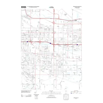
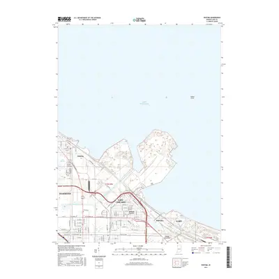
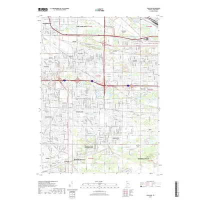
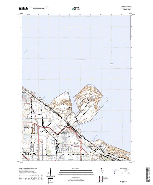
(21)- 2010 Map of Whiting, 2010 Print
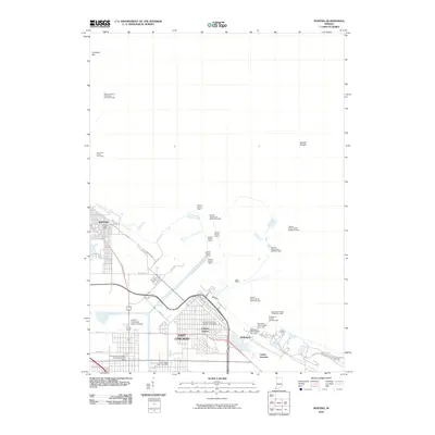 2010 Whiting2010 Print · USGSCovers Hammond, including Gary, East Chicago, and other nearby areas
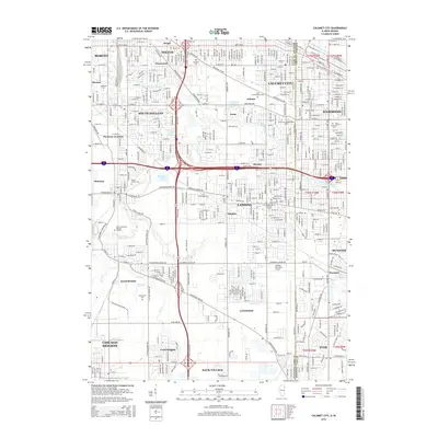
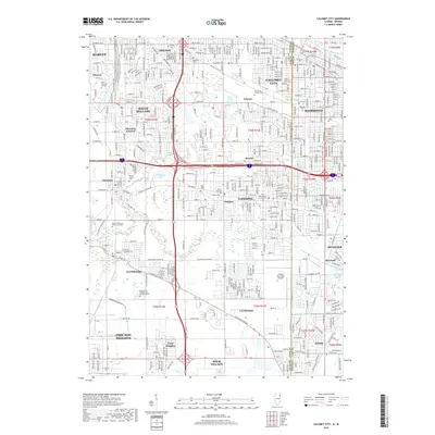
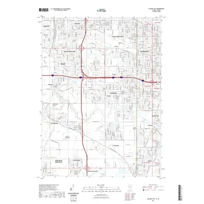
 - 2010 Map of Calumet City, 2010 Print
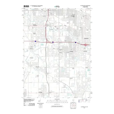 2010 Calumet City2010 Print · USGSCovers Hammond, including Calumet City, Lansing, and other nearby areas
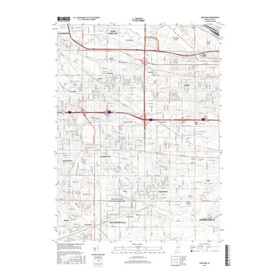
 - 2011 Map of Highland, 2011 Print
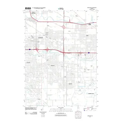 2011 Highland2011 Print · USGSCovers Hammond, including Gary, Merrillville, and other nearby areas
 - 2012 Map of Calumet City, 2012 Print
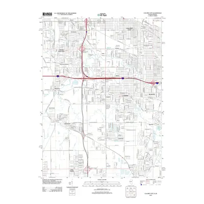 2012 Calumet City2012 Print · USGSCovers Hammond, including Calumet City, Lansing, and other nearby areas
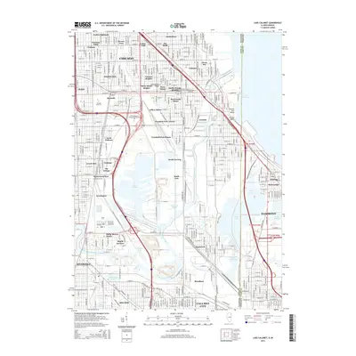
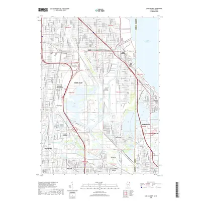
 - 2012 Map of Lake Calumet, 2012 Print
 2012 Lake Calumet2012 Print · USGSCovers Hammond, including Chicago, Calumet City, and other nearby areas
 - 2013 Map of Highland, 2013 Print
 2013 Highland2013 Print · USGSCovers Hammond, including Gary, Merrillville, and other nearby areas
 - 2013 Map of Whiting, 2013 Print
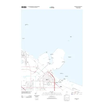 2013 Whiting2013 Print · USGSCovers Hammond, including Gary, East Chicago, and other nearby areas
 - 2015 Map of Calumet City, 2015 Print
 2015 Calumet City2015 Print · USGSCovers Hammond, including Calumet City, Lansing, and other nearby areas
 - 2015 Map of Lake Calumet, 2015 Print
 2015 Lake Calumet2015 Print · USGSCovers Hammond, including Chicago, Calumet City, and other nearby areas
 - 2016 Map of Highland, 2016 Print
 2016 Highland2016 Print · USGSCovers Hammond, including Gary, Merrillville, and other nearby areas
 - 2016 Map of Whiting, 2016 Print
 2016 Whiting2016 Print · USGSCovers Hammond, including Gary, East Chicago, and other nearby areas
 - 2018 Map of Calumet City, 2018 Print
 2018 Calumet City2018 Print · USGSCovers Hammond, including Calumet City, Lansing, and other nearby areas
 - 2018 Map of Lake Calumet, 2018 Print
 2018 Lake Calumet2018 Print · USGSCovers Hammond, including Chicago, Calumet City, and other nearby areas
 - 2019 Map of Highland, 2019 Print
 2019 Highland2019 Print · USGSCovers Hammond, including Gary, Merrillville, and other nearby areas
 - 2019 Map of Whiting, 2019 Print
 2019 Whiting2019 Print · USGSCovers Hammond, including Gary, East Chicago, and other nearby areas
 - 2021 Map of Lake Calumet, 2021 Print
 2021 Lake Calumet2021 Print · USGSCovers Hammond, including Chicago, Calumet City, and other nearby areas
 - 2021 Map of Calumet City, 2021 Print
 2021 Calumet City2021 Print · USGSCovers Hammond, including Calumet City, Lansing, and other nearby areas
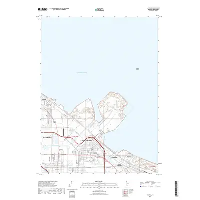
 - 2022 Map of Whiting, 2022 Print
 2022 Whiting2022 Print · USGSThe industrial lakefront of Northwest Indiana is captured in this recent survey, showcasing the dense urban and shipping network along Lake Michigan. Local historians can trace the paths of the Indiana Harbor Canal and find landmarks like Buffington and the Calumet College of Saint Joseph.
 - 2022 Map of Highland, 2022 Print
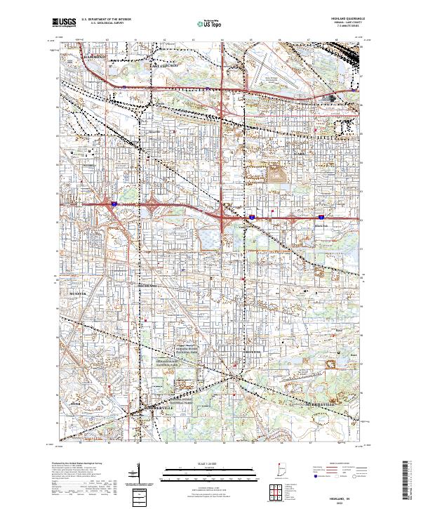 2022 Highland2022 Print · USGSThis Northwest Indiana industrial corridor comes to life in the early 2020s, showcasing the dense settlement between the Calumet rivers. Genealogists can locate family sites at Saint Marys Cem or Ridgelawn Cem, while others trace the Erie Lackawanna Cross Town Trl.
 - 2024 Map of Lake Calumet, 2024 Print
 2024 Lake Calumet2024 Print · USGSThe industrial heart of the Illinois-Indiana borderlands is revealed in this modern survey of the Calumet region. Researchers can trace the layout of historic labor sites like Pullman National Monument and neighborhoods like Hegewisch and Altgeld Gardens.
 - 2024 Map of Calumet City, 2024 Print
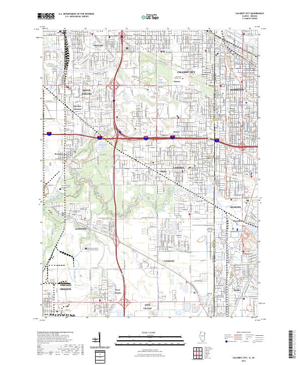 2024 Calumet City2024 Print · USGSThe Illinois-Indiana borderlands come into focus in this contemporary survey of the Calumet region’s dense urban and industrial landscape. Genealogists can locate numerous burial grounds like Berger Cem or Concordia Cem while tracing the historic Erie-Lackawanna RR corridor.
End of results
Showing maps 1-21 of 21
Top cities near Hammond
- Chicago historical maps
- Gary historical maps
- Calumet City historical maps
- Merrillville historical maps
- Lansing historical maps
- Schererville historical maps
See more
Top neighborhoods of Hammond
- Gibson historical maps
- Hessville historical maps
- Osborn historical maps
- Robertsdale historical maps
- Forest-Ivanhoe Historic District historical maps
- Forest-Southview Historic District historical maps
See more
Frequently asked questions
- What are the different types of historical maps available for Hammond?
- What is the oldest map of Hammond?
- Where can I purchase historical maps of Hammond for my home or office?
- Where can I download high-res historical maps of Hammond?
- Are there historical topographic maps available for Hammond?
- Is there historical aerial imagery available for Hammond?
- Where are historical maps of Hammond sourced from?